


Why visit Sogod
Townapedia lists 6 parks and trails, 72 places to eat, 5 places to stay and 16 attractions in and around town.
Highlights include Agas-Agas Bridge.
Weather in Sogod
Forecast from MET Norway (CC BY 4.0). Full forecast
About Sogod
Sogod (IPA:Tagalog pronunciation: [ˈsuɡud]), officially the Municipality of Sogod (Cebuano: Lungsod sa Sogod; Tagalog: Bayan ng Sogod), is a 1st income class municipality in the province of Southern Leyte, Philippines. According to the 2024 census, it has a population of 48,815 people.
From the Wikipedia article Sogod, Southern Leyte (this version), under CC BY-SA 4.0.
Travel tips from other travellers: Sogod on Wikivoyage (CC BY-SA 4.0).
Things to do16





4 more on the map.
Parks, trails and playgrounds6



Restaurants and cafes72
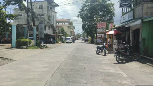

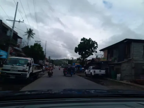
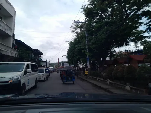
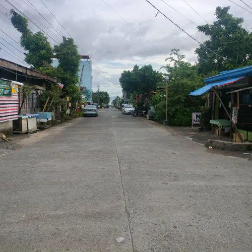



60 more on the map.
Where to stay5

History
The dearth of resource materials brought difficulty in providing a complete historical account of Sogod from the pre-Hispanic era up to today. Most of the references identified in the account were chronicles written by Spanish missionaries – the Jesuits, the Augustinians, and the Seculars (the Franciscans were assigned to parishes of northeastern Leyte and Samar) – who administered the town. At the forefront of colonization, the islands of Leyte and Samar were neglected by the Spanish colonial government which brought short-term revolts and insurrections to the region. In addition, it is worthy to attribute the Catholic Church's influence in the islands which further improved the shaping of cultural, political, economic and spiritual dimension of the people of Sogod.
From the History section of Sogod, Southern Leyte on Wikipedia, under CC BY-SA 4.0.
Churches and places of worship36
Diocesan Shrine and Parish of the Immaculate Conception
Church · Roman Catholic
Concepcion Street, Sogod
Saint James the Apostle Parish Church
Church · Roman Catholic · 8.5 km
Maasin-Macrohon-Sogod Road, Tomas Oppus
Santo Niño Parish Church
Church · Roman Catholic · 3.7 km
Del Pilar Street, Bontoc
Shopping21
Gas and EV charging11
Schools, colleges and libraries93
Santa Cruz Elementary School
School · 1.6 km
Maasin – Macrohon – Sogod Road, Bontoc
Healthcare13
Map of Sogod
250 places. The map loads OpenStreetMap tiles when you open it.
Getting there and nearby towns
Ormoc Airport (OMC) is the nearest airport with scheduled flights listed in OpenStreetMap, 88 km away.
- Bato 22 km west, about 22 min by car
- Matalom 24 km southwest, about 24 min by car
- Hilongos 25 km west, about 25 min by car
- Inopacan 29 km northwest, about 29 min by car
- Macrohon 34 km south, about 34 min by car
- Baybay 38 km northwest, about 38 min by car
- La Paz 57 km north, about 57 min by car
- Dulag 63 km north, about 1 h by car
- Burauen 66 km north, about 1 h by car
- Ormoc 80 km northwest, about 1 h 15 min by car
Drive times are estimates from straight-line distance, not routes.
Local news
Headlines from INDB.
Reviews, tips and questions
Loading what members have shared...
Sources and licences
- GeoNames (CC BY 4.0): population, coordinates, regions and time zone
- Mapillary (see each image): photos
- OpenStreetMap contributors (ODbL 1.0): places, airports, map data
- Wikidata (CC0 1.0): elevation, founding date, time zone, website, landmarks and historic places
- Wikimedia Commons (see each image): photos
- Wikipedia (CC BY-SA 4.0): overview and history text
Photo credits
- Poblacion Sogod as seen from the town of Bontoc, BrianZhukov talk now!, CC BY-SA 3.0
- Sogod warf - panoramio, Gonchang, CC BY 3.0
- Sogod city and bay from the mountain - panoramio, Gonchang, CC BY 3.0
- Agas-Agas Bridge, Maximilian Felkel, CC BY-SA 3.0
- Southern Leyte State University, Rey Comabig, CC BY-SA 4.0
- SLSU campus - panoramio, Gonchang, CC BY 3.0
- Evening glow at SLSU - panoramio, Gonchang, CC BY 3.0
- Evening glow at SLSU - panoramio - Gonchang, Gonchang, CC BY 3.0
- Evening glow at SLSU - panoramio - Gonchang (2), Gonchang, CC BY 3.0
- Evening glow at SLSU - panoramio - Gonchang (1), Gonchang, CC BY 3.0
- SLSCST from the mountain top - panoramio, Gonchang, CC BY 3.0
- Oplopomus oplopomus - Chris Spain - 606824541, Chris Spain, CC0
- Street-level photo, Cristobal_Paraon, CC BY-SA 4.0
- Street-level photo, Sakarias71, CC BY-SA 4.0
- Street-level photo, ericb1983, CC BY-SA 4.0
- Street-level photo, dwinny, CC BY-SA 4.0
- Street-level photo, ericb1983, CC BY-SA 4.0
- Street-level photo, AnneMarieVic_Lobo, CC BY-SA 4.0
- Street-level photo, ericb1983, CC BY-SA 4.0
- Street-level photo, ericb1983, CC BY-SA 4.0
- Street-level photo, dwinny, CC BY-SA 4.0
- Street-level photo, dwinny, CC BY-SA 4.0
- Street-level photo, feyeandal, CC BY-SA 4.0
- Street-level photo, feyeandal, CC BY-SA 4.0
- Street-level photo, ericb1983, CC BY-SA 4.0
- Street-level photo, ericb1983, CC BY-SA 4.0
- Street-level photo, jinnemaglasang, CC BY-SA 4.0
- Street-level photo, jinnemaglasang, CC BY-SA 4.0
- Street-level photo, ericb1983, CC BY-SA 4.0
- Street-level photo, dwinny, CC BY-SA 4.0
- Street-level photo, Cristobal_Paraon, CC BY-SA 4.0
- Street-level photo, ericb1983, CC BY-SA 4.0
- Street-level photo, ericb1983, CC BY-SA 4.0
- Street-level photo, ericb1983, CC BY-SA 4.0


Page built November 7, 2026. Spotted a mistake? Tell us or suggest a place.