


Padre Burgos, Philippines
Padre Burgos is a town of 3,080 people in Calabarzon, Philippines, founded in February 17, 1917.
Why visit Padre Burgos
Townapedia lists 1 museum or landmark, 5 parks and trails, 14 places to eat, 3 places to stay and 2 attractions in and around town.
Highlights include Mount Lipata and Mount Mitra.
Weather in Padre Burgos
Forecast from MET Norway (CC BY 4.0). Full forecast
About Padre Burgos
Padre Burgos, officially the Municipality of Padre Burgos (Tagalog: Bayan ng Padre Burgos), is a municipality in the province of Quezon, Philippines. According to the 2024 census, it has a population of 23,392 people.
From the Wikipedia article Padre Burgos, Quezon (this version), under CC BY-SA 4.0.
Things to do2

Museums and landmarks1

Fr. Jose Burgos
Monument and historic site · 0.8 km
Bautista Street, Padre Burgos
Parks, trails and playgrounds5



Restaurants and cafes14



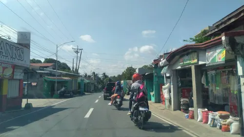
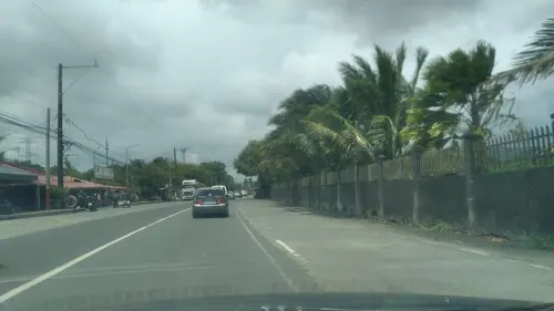
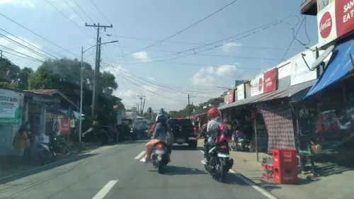
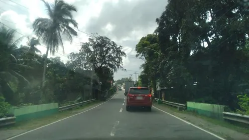


2 more on the map.
History
Padre Burgos was formerly known as Laguimanoc due to the shape of the coastline which resembles the bill of a chicken, which translates to “manok” in Tagalog. Another version is that chickens were so abundant in the town that hawks (Tagalog: “lawin”) swept down on the place to snatch chicks from their mothers. When hawks flew overhead, as warning to their neighborhood, people shouted “Hawk Manok” or “Lawin-Manok”.
On January 1, 1917, the village of Laguimanoc, which was formerly a barrio of Atimonan, became a municipality of what was then the province of Tayabas. On December 3, 1927, the town's name was changed to Padre Burgos by virtue of Act No. 3389, in honor of one of the country's martyrs, Fr. Jose Burgos. The streets were named after local leaders who rendered valuable services to the community. Because of the physical and topographic conditions of the town, four sitios where clusters of houses became the main district of the town, namely: Campo, Burgos, Basiao and Bundok-Punta.
The community converged to be in this particular spot because of its sea which made this town as port of Laguimanoc. In the early days this port offered a good wharf for vessels plying between Manila and southern Luzon. This was also a port of call for ships exporting lumber to Europe during the Spanish regime. In this town was the residence of the “Alcalde Mar” or Port Officer.
From the History section of Padre Burgos, Quezon on Wikipedia, under CC BY-SA 4.0.
Where to stay3
Churches and places of worship15
Saint Anne Parish and Diocesan Shrine
Church · Roman Catholic · 6.9 km
Maharlika Highway
Shopping3
Gas and EV charging4
Schools, colleges and libraries23
Map of Padre Burgos
70 places. The map loads OpenStreetMap tiles when you open it.
Getting there and nearby towns
Balesin Airstrip (BSI) is the nearest airport with scheduled flights listed in OpenStreetMap, 60 km away.
- Pagbilao 13 km west, about 13 min by car
- Atimonan 15 km northeast, about 15 min by car
- Unisan 20 km southeast, about 20 min by car
- Lucena 21 km west, about 21 min by car
- Tayabas 26 km northwest, about 26 min by car
- Sariaya 31 km west, about 31 min by car
- Gumaca 31 km east, about 31 min by car
- Lucban 35 km northwest, about 35 min by car
- Candelaria 42 km west, about 42 min by car
- Majayjay 44 km northwest, about 44 min by car
Drive times are estimates from straight-line distance, not routes.
Local news
Headlines from INDB.
Reviews, tips and questions
Loading what members have shared...
Sources and licences
- GeoNames (CC BY 4.0): population, coordinates, regions and time zone
- Mapillary (see each image): photos
- OpenStreetMap contributors (ODbL 1.0): places, airports, map data
- Wikidata (CC0 1.0): elevation, founding date, time zone, website
- Wikimedia Commons (see each image): photos
- Wikipedia (CC BY-SA 4.0): overview and history text
Photo credits
- ISS057-E-28280 - View of Earth, Earth Science and Remote Sensing Unit, NASA Johnson Space Center, Public domain
- Mangayao Eco-Agri Tourism Park, Bien Orellana Bacarra Jr, CC BY-SA 4.0
- Pan-Philippine Highway–N610 highway junction, Engr. Smitty, CC BY-SA 4.0
- Philippine long-tailed macaque (Macaca fascicularis philippensis), Micluna, CC BY-SA 4.0
- Philippine long-tailed macaque (Macaca fascicularis philippensis). Quezon Protected Landscape, Micluna, CC BY-SA 4.0
- The macaque pauses to eat a piece of bread, Micluna, CC BY-SA 4.0
- Three Philippine long-tailed macaques (Macaca fascicularis philippensis), Micluna, CC BY-SA 4.0
- Three Philippine long-tailed macaques(Macaca fascicularis philippensis), Micluna, CC BY-SA 4.0
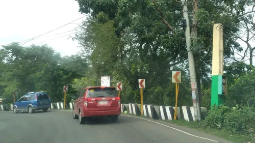
- Street-level photo, ericb1983, CC BY-SA 4.0
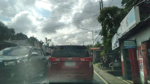
- Street-level photo, nickrds09, CC BY-SA 4.0
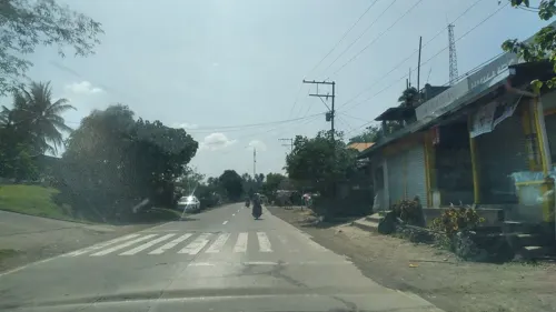
- Street-level photo, nickrds09, CC BY-SA 4.0
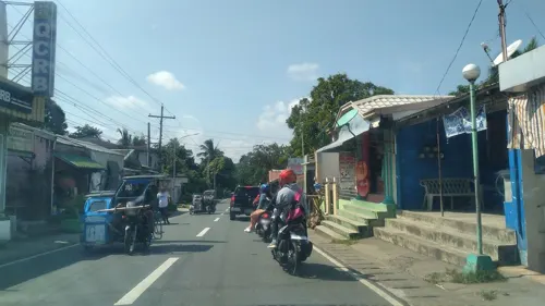
- Street-level photo, nickrds09, CC BY-SA 4.0
- Street-level photo, nickrds09, CC BY-SA 4.0
- Street-level photo, nickrds09, CC BY-SA 4.0
- Street-level photo, nickrds09, CC BY-SA 4.0
- Street-level photo, nickrds09, CC BY-SA 4.0
- Street-level photo, nickrds09, CC BY-SA 4.0
- Street-level photo, nickrds09, CC BY-SA 4.0
- Street-level photo, nickrds09, CC BY-SA 4.0
- Street-level photo, nickrds09, CC BY-SA 4.0
- Street-level photo, nickrds09, CC BY-SA 4.0
- Street-level photo, nickrds09, CC BY-SA 4.0
- Street-level photo, nickrds09, CC BY-SA 4.0
- Street-level photo, nickrds09, CC BY-SA 4.0
- Street-level photo, nickrds09, CC BY-SA 4.0
- Street-level photo, nickrds09, CC BY-SA 4.0
- Street-level photo, ericb1983, CC BY-SA 4.0
- Street-level photo, ericb1983, CC BY-SA 4.0
- Street-level photo, nickrds09, CC BY-SA 4.0
- Street-level photo, ericb1983, CC BY-SA 4.0
- Street-level photo, ericb1983, CC BY-SA 4.0
- Street-level photo, nickrds09, CC BY-SA 4.0
- Street-level photo, nickrds09, CC BY-SA 4.0
- Street-level photo, nickrds09, CC BY-SA 4.0
- Street-level photo, nickrds09, CC BY-SA 4.0


Page built November 7, 2026. Spotted a mistake? Tell us or suggest a place.