


Pantay Na Matanda, Philippines
Pantay Na Matanda is a town of 5,791 people in Calabarzon, Philippines.
Why visit Pantay Na Matanda
Townapedia lists 4 museums and landmarks, 1 park or trail, 23 places to eat, 6 places to stay and 1 attraction in and around town.
Highlights include Apolinario Mabini Shrine and Malvar Shrine Museum.
Weather in Pantay Na Matanda
Forecast from MET Norway (CC BY 4.0). Full forecast
Things to do1

Organi-Ka City Organic Trading Post
Farm and orchard · 2.4 km
Santo Tomas Municipal Inner Road, Santo Tomas
Museums and landmarks4

Apolinario Mabini Shrine
Museum · 3.0 km
National Shrine and museum for Apolinario Mabini at his birthplace in Batangas, Philippines


Parks, trails and playgrounds1

Restaurants and cafes23

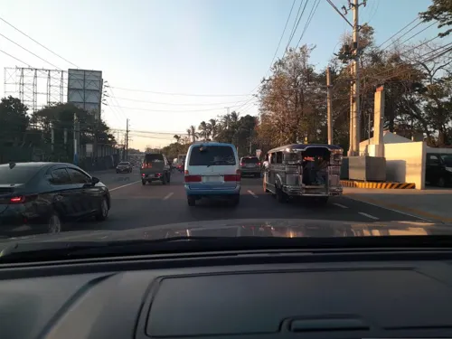
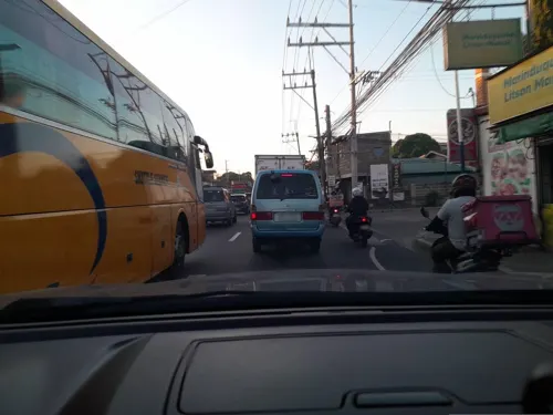
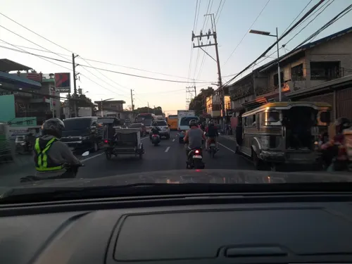
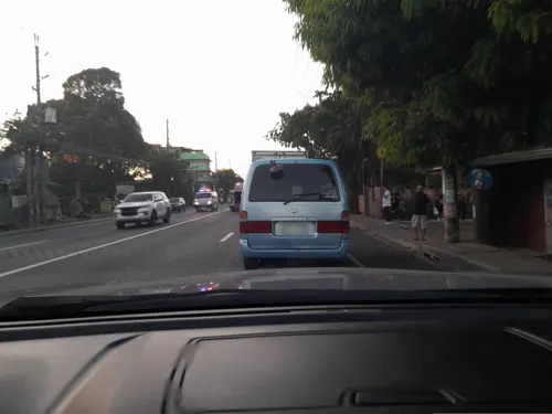
Enrico Miranda Kambingan at Tapsihan
Restaurant · 2.0 km
Maharlika Highway, Santo Tomas
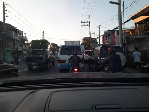

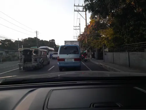


11 more on the map.
Where to stay6
Churches and places of worship6
Saint Thomas Aquinas Parish
Church · Roman Catholic · 2.4 km
General Malvar Avenue, Santo Tomas
Cale Seventh- Day Adventist Church
Place of worship · 2.1 km
Tanauan - Talisay National Road
Shopping6
Gas and EV charging7
Schools, colleges and libraries13
Healthcare1
Map of Pantay Na Matanda
68 places. The map loads OpenStreetMap tiles when you open it.
Getting there and nearby towns
Ninoy Aquino International Airport (MNL) is the nearest airport with scheduled flights listed in OpenStreetMap, 45 km away.
- Santo Tomas 2 km southeast, about 2 min by car
- Tanauan 5 km southeast, about 5 min by car
- Malvar 9 km southeast, about 9 min by car
- Calamba 12 km northeast, about 12 min by car
- Talisay 11 km west, about 11 min by car
- Los Baños 14 km northeast, about 14 min by car
- Alaminos 15 km southeast, about 15 min by car
- Cabuyao 17 km north, about 17 min by car
- Silang 19 km northwest, about 19 min by car
- Lipa City 20 km south, about 20 min by car
Drive times are estimates from straight-line distance, not routes.
Local news
Headlines from INDB.
Reviews, tips and questions
Loading what members have shared...
Sources and licences
- GeoNames (CC BY 4.0): population, coordinates, regions and time zone
- Mapillary (see each image): photos
- OpenStreetMap contributors (ODbL 1.0): places, airports, map data
- Wikidata (CC0 1.0): elevation, founding date, time zone, website, landmarks and historic places
- Wikimedia Commons (see each image): photos
Photo credits
- SantoTomas,Batangasjf0589 09, Ramon FVelasquez, CC BY-SA 3.0
- Mount Makiling from SLEX 2022-12-12, LMP 2001, CC BY-SA 4.0
- 9284Southern Tagalog Arterial Road 29, Judgefloro, CC0
- 9088Southern Tagalog Arterial Road 30, Judgefloro, CC0
- 9137Southern Tagalog Arterial Road 09, Judgefloro, CC0
- 9186Southern Tagalog Arterial Road 09, Judgefloro, CC0
- 9088Southern Tagalog Arterial Road 16, Judgefloro, CC0
- 9235Southern Tagalog Arterial Road 34, Judgefloro, CC0
- 9137Southern Tagalog Arterial Road 10, Judgefloro, CC0
- 9333Southern Tagalog Arterial Road 37, Judgefloro, CC0
- 9382Southern Tagalog Arterial Road 05, Judgefloro, CC0
- 9186Southern Tagalog Arterial Road 36, Judgefloro, CC0
- 9040Southern Tagalog Arterial Road 16, Judgefloro, CC0
- 9333Southern Tagalog Arterial Road 42, Judgefloro, CC0
- 9137Southern Tagalog Arterial Road 48, Judgefloro, CC0
- 9333Southern Tagalog Arterial Road 13, Judgefloro, CC0
- 9040Southern Tagalog Arterial Road 04, Judgefloro, CC0
- 9333Southern Tagalog Arterial Road 46, Judgefloro, CC0
- 9040Southern Tagalog Arterial Road 12, Judgefloro, CC0
- 9235Southern Tagalog Arterial Road 29, Judgefloro, CC0
- 9235Southern Tagalog Arterial Road 16, Judgefloro, CC0
- 9088Southern Tagalog Arterial Road 10, Judgefloro, CC0
- 9137Southern Tagalog Arterial Road 32, Judgefloro, CC0
- 9235Southern Tagalog Arterial Road 17, Judgefloro, CC0
- 9333Southern Tagalog Arterial Road 06, Judgefloro, CC0
- 9186Southern Tagalog Arterial Road 08, Judgefloro, CC0
- 9235Southern Tagalog Arterial Road 22, Judgefloro, CC0
- 9333Southern Tagalog Arterial Road 08, Judgefloro, CC0
- 9137Southern Tagalog Arterial Road 43, Judgefloro, CC0
- 9186Southern Tagalog Arterial Road 10, Judgefloro, CC0
- 9284Southern Tagalog Arterial Road 38, Judgefloro, CC0
- 9333Southern Tagalog Arterial Road 14, Judgefloro, CC0
- 9088Southern Tagalog Arterial Road 28, Judgefloro, CC0
- 9137Southern Tagalog Arterial Road 46, Judgefloro, CC0
- 9186Southern Tagalog Arterial Road 44, Judgefloro, CC0
- 8988Southern Tagalog Arterial Road 29, Judgefloro, CC0
- 9088Southern Tagalog Arterial Road 41, Judgefloro, CC0
- 9088Southern Tagalog Arterial Road 34, Judgefloro, CC0
- 9284Southern Tagalog Arterial Road 25, Judgefloro, CC0
- 9137Southern Tagalog Arterial Road 31, Judgefloro, CC0
- Street-level photo, ericb1983, CC BY-SA 4.0
- Street-level photo, ericb1983, CC BY-SA 4.0
- Street-level photo, GOwin, CC BY-SA 4.0
- Street-level photo, ericb1983, CC BY-SA 4.0
- Street-level photo, ericb1983, CC BY-SA 4.0
- Street-level photo, ericb1983, CC BY-SA 4.0
- Street-level photo, ericb1983, CC BY-SA 4.0
- Street-level photo, ericb1983, CC BY-SA 4.0
- Street-level photo, ericb1983, CC BY-SA 4.0
- Street-level photo, ericb1983, CC BY-SA 4.0
- Street-level photo, ericb1983, CC BY-SA 4.0
- Street-level photo, ericb1983, CC BY-SA 4.0
- Street-level photo, ericb1983, CC BY-SA 4.0
- Street-level photo, ericb1983, CC BY-SA 4.0
- Street-level photo, ericb1983, CC BY-SA 4.0
- Street-level photo, ericb1983, CC BY-SA 4.0
- Street-level photo, ericb1983, CC BY-SA 4.0


Page built November 7, 2026. Spotted a mistake? Tell us or suggest a place.