


Paracelis, Philippines
Paracelis is a town of 4,232 people in Cordillera, Philippines, founded in 1962.
Why visit Paracelis
Townapedia lists 1 park or trail and 1 place to eat in and around town.
Weather in Paracelis
Forecast from MET Norway (CC BY 4.0). Full forecast
About Paracelis
Paracelis, officially the Municipality of Paracelis is a municipality in the province of Mountain Province, Philippines. According to the 2024 census, it has a population of 30,143 people.
From the Wikipedia article Paracelis (this version), under CC BY-SA 4.0.
Parks, trails and playgrounds1

Restaurants and cafes1

Churches and places of worship2


Gas and EV charging2
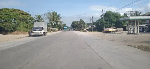
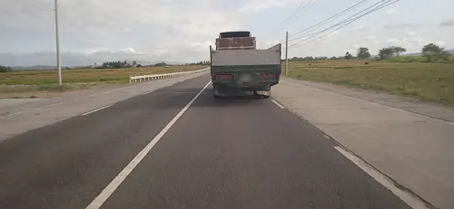


History
Paracelis was first settled by the Ga'dang (Gaddang) ethnic group, who were migrants from Cagayan Valley. Through the years, Paracelis has become the main entry point to the rest of Mountain Province.
The name Paracelis came into existence as early as the 1900s as part of the territorial barangays of Natonin within the District of Kalao. Paracelis became a regular town named Paracales with the enactment of Republic Act 3488 on June 16, 1962. The town was renamed Paracelis on June 18, 1966 under Republic Act 4738. The first appointed mayor was Benito Rafael.
The first official site of the civil government was at Natta'longan, now currently within Barangay Bantay. The pre-World War II government was short-lived and administration lasted under three local managements from 1917 to 1921.
In 1962, the government center at Natta'longan was transferred to Anangka within the Rafael compound. The site was again transferred to a lot in Marat donated by the Gawwan family. In 1991, the officials of the municipal government transferred the government center to its current site in Poblacion. The government used to occupy a one-hectare lot that housed all the units.
On December 25, 2007, the town's mayor, Cesar Rafael, was killed in an ambush in sitio Sinigpit, Barangay Butigue.
From the History section of Paracelis on Wikipedia, under CC BY-SA 4.0.
Schools, colleges and libraries73
Bacarri National Trade Agricultural High School – Bunot Extension
School · 14.6 km
Healthcare2
Map of Paracelis
81 places. The map loads OpenStreetMap tiles when you open it.
Getting there and nearby towns
Cauayan Airport (CYZ) is the nearest airport with scheduled flights listed in OpenStreetMap, 48 km away.
- Tabuk 17 km north, about 17 min by car
- Roxas 23 km southeast, about 23 min by car
- Cabagan 37 km northeast, about 37 min by car
- Enrile 41 km northeast, about 41 min by car
- Ilagan 47 km east, about 47 min by car
- Tuguegarao 47 km northeast, about 47 min by car
- Gamu 46 km southeast, about 46 min by car
- Solana 49 km northeast, about 49 min by car
- Ramon 54 km south, about 54 min by car
- Alicia 59 km southeast, about 59 min by car
Drive times are estimates from straight-line distance, not routes.
Local news
Headlines from INDB.
Reviews, tips and questions
Loading what members have shared...
Sources and licences
- GeoNames (CC BY 4.0): population, coordinates, regions and time zone
- Mapillary (see each image): photos
- OpenStreetMap contributors (ODbL 1.0): places, airports, map data
- Wikidata (CC0 1.0): elevation, founding date, time zone, website, landmarks and historic places
- Wikimedia Commons (see each image): photos
- Wikipedia (CC BY-SA 4.0): overview and history text
Photo credits
- Kalinga State University arch, Exec8, CC BY 4.0
- ISS064-E-52669 - View of Earth, Earth Science and Remote Sensing Unit , Lyndon B. Johnson Space Center, Public domain
- Street-level photo, mdgabriel, CC BY-SA 4.0
- Street-level photo, mdgabriel, CC BY-SA 4.0
Page built November 7, 2026. Spotted a mistake? Tell us or suggest a place.