


Why visit Plaridel
Townapedia lists 4 places to eat and 2 places to stay in and around town.
Weather in Plaridel
Forecast from MET Norway (CC BY 4.0). Full forecast
About Plaridel
Plaridel, officially the Municipality of Plaridel (Tagalog: Bayan ng Plaridel), is a municipality in the province of Quezon, Philippines. According to the 2024 census, it has a population of 10,866 people.
From the Wikipedia article Plaridel, Quezon (this version), under CC BY-SA 4.0.
Restaurants and cafes4
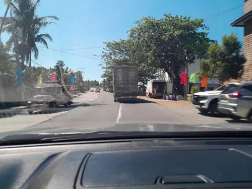
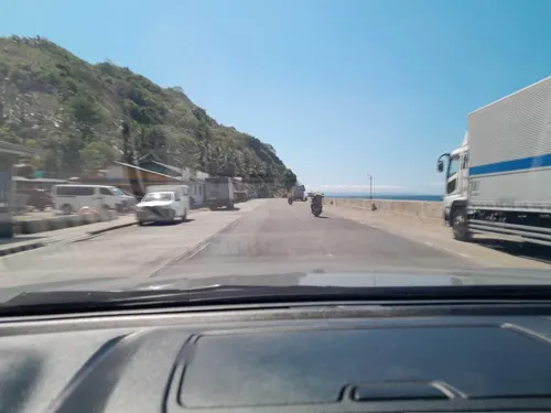
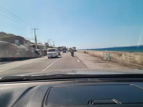
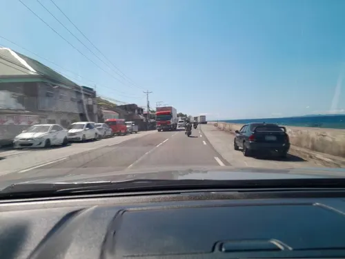
Where to stay2

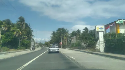
Churches and places of worship7

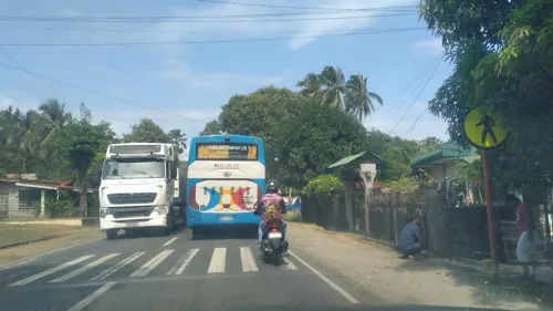
Iglesia ni Cristo - Lokal ng Inaclagan
Church · Iglesia Ni Cristo · 3.7 km
Maharlika Highway
Iglesia ni Cristo - Lokal ng Ponon
Church · Iglesia Ni Cristo · 3.9 km
Atimonan-Unisan Road
Lokal ng Summit, Iglesia ni Cristo
Church · Iglesia Ni Cristo · 4.8 km
Atimonan-Unisan Road
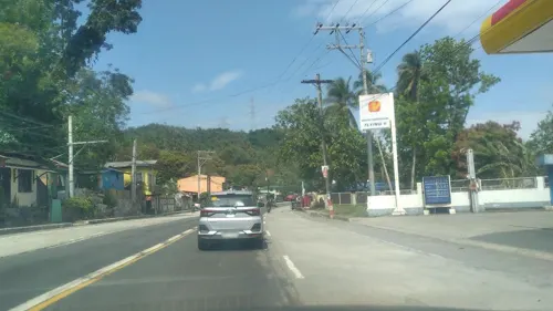
Gas and EV charging1


History
Under the Republic Act No. 3493, barrios were taken from Atimonan, Quezon to constitute the Municipality of Plaridel. These barrios include Siain, Ilosong, Concepcion, Duhat, and Tanauan. As the Act decreed, Siain became the seat of government.
The Act was based on House Bill No. 822 introduced by Congressman Eladio A. Caliwara who was then representing the Second District of Quezon. It was signed in June 1962 by Philippine president Diosdado Macapagal enacting it as a law.
The Municipality of Plaridel was inaugurated on October 27, 1962.
From the History section of Plaridel, Quezon on Wikipedia, under CC BY-SA 4.0.
Schools, colleges and libraries14
Healthcare3
Map of Plaridel
31 places. The map loads OpenStreetMap tiles when you open it.
Getting there and nearby towns
Balesin Airstrip (BSI) is the nearest airport with scheduled flights listed in OpenStreetMap, 52 km away.
- Gumaca 9 km southeast, about 9 min by car
- Atimonan 12 km northwest, about 12 min by car
- Unisan 14 km south, about 14 min by car
- Lopez 27 km east, about 27 min by car
- Calauag 29 km east, about 29 min by car
- Pagbilao 35 km west, about 35 min by car
- Lucena 44 km west, about 44 min by car
- Tayabas 47 km west, about 47 min by car
- Catanauan 52 km southeast, about 52 min by car
- Sariaya 53 km west, about 53 min by car
Drive times are estimates from straight-line distance, not routes.
Local news
Headlines from INDB.
Reviews, tips and questions
Loading what members have shared...
Sources and licences
- GeoNames (CC BY 4.0): population, coordinates, regions and time zone
- Mapillary (see each image): photos
- OpenStreetMap contributors (ODbL 1.0): places, airports, map data
- Wikidata (CC0 1.0): elevation, founding date, time zone, website
- Wikimedia Commons (see each image): photos
- Wikipedia (CC BY-SA 4.0): overview and history text
Photo credits
- The Most Holy Rosary Parish Plaridel, Quezon, Nickrds09, CC BY-SA 3.0
- View of Plaridel Port from Maharlika Highway, Plaridel, Quezon, Dec 2025, Ralff Nestor Nacor, CC BY-SA 4.0
- View of Lopez Bay from Plaridel, Quezon, Mar 2026, Ralff Nestor Nacor, CC BY-SA 4.0
- View of Lopez Bay from Gumaca (North), Quezon, Mar 2026, Ralff Nestor Nacor, CC BY-SA 4.0
- Street-level photo, ericb1983, CC BY-SA 4.0
- Street-level photo, nickrds09, CC BY-SA 4.0
- Street-level photo, nickrds09, CC BY-SA 4.0
- Street-level photo, ericb1983, CC BY-SA 4.0
- Street-level photo, ericb1983, CC BY-SA 4.0
- Street-level photo, ericb1983, CC BY-SA 4.0
- Street-level photo, nickrds09, CC BY-SA 4.0
- Street-level photo, ericb1983, CC BY-SA 4.0
Page built November 7, 2026. Spotted a mistake? Tell us or suggest a place.