


Why visit Ragay
Townapedia lists 1 park or trail and 5 places to eat in and around town.
Weather in Ragay
Forecast from MET Norway (CC BY 4.0). Full forecast
About Ragay
Ragay, officially the Municipality of Ragay (Central Bikol: Banwaan kan Ragay; Tagalog: Bayan ng Ragay), is a municipality in the province of Camarines Sur, Philippines. According to the 2024 census, it has a population of 58,843 people.
From the Wikipedia article Ragay (this version), under CC BY-SA 4.0.
Parks, trails and playgrounds1
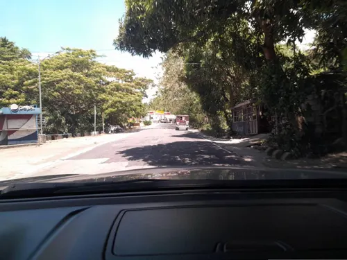
Restaurants and cafes5
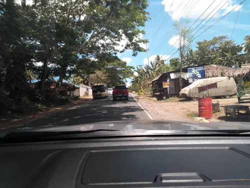


Churches and places of worship10
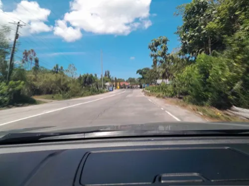
Iglesia ni Cristo - Lokal ng Sampaloc
Church · Roman Catholic · 4.7 km
Andaya Highway

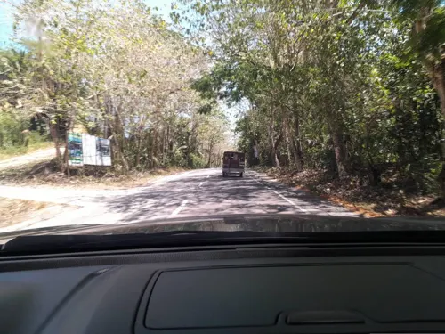
Gas and EV charging8
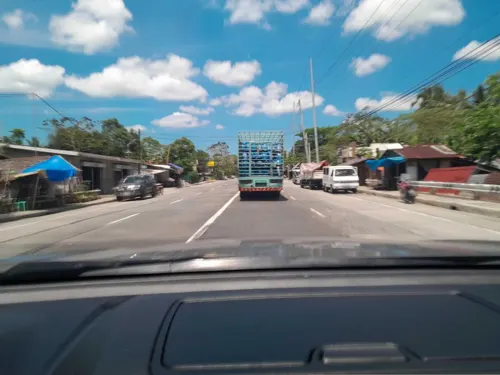
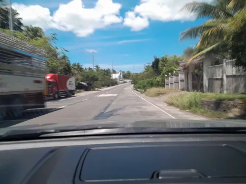

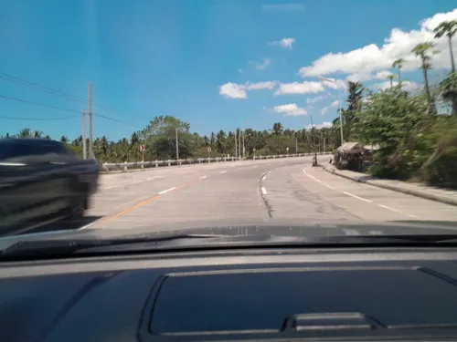


History
Ragay was originally a visita of Lupi and became a separate town on April 15, 1753. The first settlement stood along the Paculago River and was inhabited by Bicol, Tagalog, and Visayan speaking groups. Frequent Moro raids forced residents to move to a safer area upstream. The new community was called Hagay, meaning single, and was occupied by Christian settlers. When raids stopped and the Spanish arrived, the town shifted to its present site. The name Ragay emerged in the 1840s after a Spanish soldier misheard a resident who mentioned Hagay.
From the History section of Ragay on Wikipedia, under CC BY-SA 4.0.
Schools, colleges and libraries74
Healthcare4
Map of Ragay
102 places. The map loads OpenStreetMap tiles when you open it.
Getting there and nearby towns
Daet Airport (DTE) is the nearest airport with scheduled flights listed in OpenStreetMap, 40 km away.
- Sipocot 21 km east, about 21 min by car
- Del Gallego 24 km northwest, about 24 min by car
- Basud 33 km northeast, about 33 min by car
- Daet 37 km northeast, about 37 min by car
- Labo 37 km north, about 37 min by car
- Talisay 38 km north, about 38 min by car
- Mercedes 40 km northeast, about 40 min by car
- Vinzons 41 km north, about 41 min by car
- Calabanga 47 km east, about 47 min by car
- Naga 48 km southeast, about 48 min by car
Drive times are estimates from straight-line distance, not routes.
Local news
Headlines from INDB.
Reviews, tips and questions
Loading what members have shared...
Sources and licences
- GeoNames (CC BY 4.0): population, coordinates, regions and time zone
- Mapillary (see each image): photos
- OpenStreetMap contributors (ODbL 1.0): places, airports, map data
- Wikidata (CC0 1.0): elevation, founding date, time zone, website, landmarks and historic places
- Wikimedia Commons (see each image): photos
- Wikipedia (CC BY-SA 4.0): overview and history text
Photo credits
- Coconut trees view from Rolando Andaya Highway, Ragay, Quezon, Mar 2026, Ralff Nestor Nacor, CC BY-SA 4.0
- Mekkhala 2015-01-18 0536Z, VIIRS imagery from the Suomi NPP satellite operated by the National Oceanic and Atmospheric Administration, Public domain
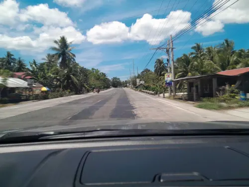
- Street-level photo, ericb1983, CC BY-SA 4.0
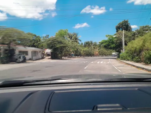
- Street-level photo, ericb1983, CC BY-SA 4.0
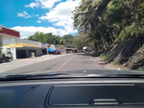
- Street-level photo, ericb1983, CC BY-SA 4.0
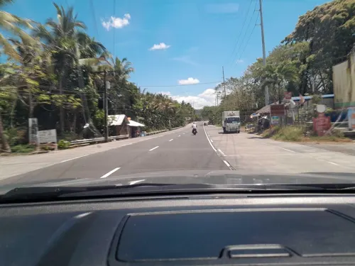
- Street-level photo, ericb1983, CC BY-SA 4.0
- Street-level photo, ericb1983, CC BY-SA 4.0
- Street-level photo, ericb1983, CC BY-SA 4.0
- Street-level photo, ericb1983, CC BY-SA 4.0
- Street-level photo, ericb1983, CC BY-SA 4.0
- Street-level photo, ericb1983, CC BY-SA 4.0
- Street-level photo, ericb1983, CC BY-SA 4.0
- Street-level photo, ericb1983, CC BY-SA 4.0
Page built November 7, 2026. Spotted a mistake? Tell us or suggest a place.