


San Fernando, Philippines
San Fernando is a town of 6,345 people in Bicol Region, Philippines, founded in 1810.
Why visit San Fernando
Townapedia lists 1 museum or landmark, 2 parks and trails, 15 places to eat and 6 places to stay in and around town.
Highlights include Jose Maria Panganiban Monument and Camaligan River Park.
Weather in San Fernando
Forecast from MET Norway (CC BY 4.0). Full forecast
About San Fernando
San Fernando, officially the Municipality of San Fernando (Central Bikol: Banwaan kan San Fernando; Tagalog: Bayan ng San Fernando), is a municipality in the province of Camarines Sur, Philippines. According to the 2024 census, it has a population of 39,206 people.
From the Wikipedia article San Fernando, Camarines Sur (this version), under CC BY-SA 4.0.
Museums and landmarks1

Jose Maria Panganiban Monument
Monument and historic site · 8.8 km
Monument in Naga, Philippines
Parks, trails and playgrounds2

Camaligan River Park
Park · 6.5 km
Linear park in Camaligan, Philippines

Restaurants and cafes15
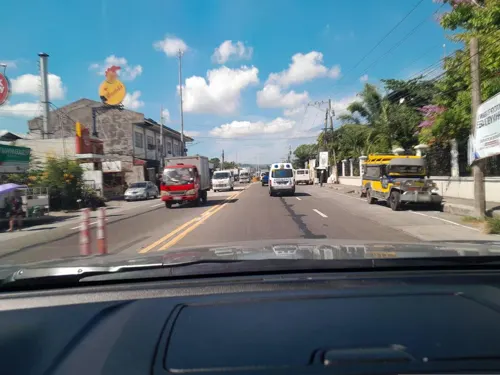
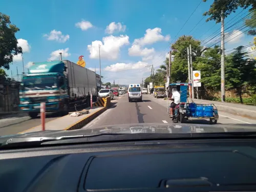
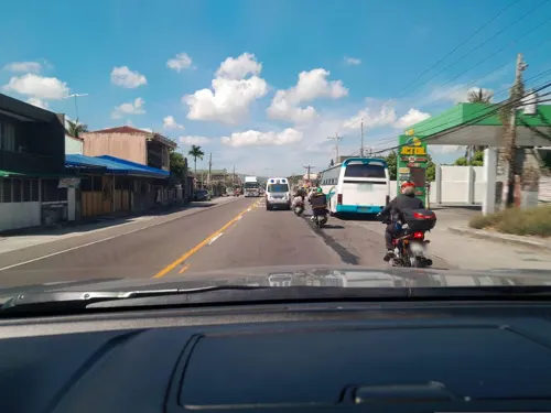
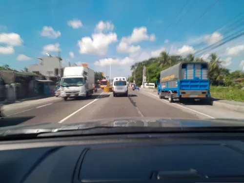


3 more on the map.
Where to stay6



History
The province of Ambos Camarines once listed San Fernando as one of its visitas or barrios. The town stayed a barrio of Milaor for over 230 years.
Pueblo de San Fernando became an independent town on January 1, 1813, after separating from Milaor. The 1818 Spanish census recorded the area as having 688 native families and 2 Spanish-Filipino families.
The residents of this old settlement were noted for their religious devotion as manifested by their honor and dedication to San Fernando, the town's patron saint. This patron of San Fernando, according to historical records, was however not the original patron saint for whom the first settlers built the chapel. They actually built a chapel in honor of their patron saint San Fernando. However, for some unusual reasons, the image was lost after it had been transferred into the newly erected chapel. It was said that efforts were wielded to find the missing icon but it all ended into great frustration as the lost image of San Fernando was not found. One resident from the old site where the image was housed later informed the people of San Fernando that the image returned to its original location. With this incident, the Teniente del Barrio then decided to install the image of another saint, Saint John the Baptist. Their celebration of the town and parish fiesta is held every 24 June.
From the History section of San Fernando, Camarines Sur on Wikipedia, under CC BY-SA 4.0.
Churches and places of worship16
Metropolitan Cathedral and Parish of Saint John the Evangelist
Church · 8.3 km
St. Anthony of Padua Parish
Church · Roman Catholic · 6.6 km
Sto. Domingo, Camaligan
The Church of Jesus Christ of Latter-day Saints
Church · Latter Day Saints · 5.0 km
Shopping3
Gas and EV charging13
Schools, colleges and libraries70
Healthcare4
Map of San Fernando
130 places. The map loads OpenStreetMap tiles when you open it.
Getting there and nearby towns
Naga Airport (WNP) is the nearest airport with scheduled flights listed in OpenStreetMap, 14 km away.
- Minalabac 4 km east, about 4 min by car
- Milaor 5 km northeast, about 5 min by car
- Naga 7 km northeast, about 7 min by car
- Gainza 6 km north, about 6 min by car
- Camaligan 7 km north, about 7 min by car
- Canaman 10 km north, about 10 min by car
- Magarao 11 km northeast, about 11 min by car
- Bombon 15 km northeast, about 15 min by car
- Calabanga 17 km northeast, about 17 min by car
- Bula 18 km southeast, about 18 min by car
Drive times are estimates from straight-line distance, not routes.
Local news
Headlines from INDB.
Reviews, tips and questions
Loading what members have shared...
Sources and licences
- GeoNames (CC BY 4.0): population, coordinates, regions and time zone
- Mapillary (see each image): photos
- OpenStreetMap contributors (ODbL 1.0): places, airports, map data
- Wikidata (CC0 1.0): elevation, founding date, time zone, website, landmarks and historic places
- Wikimedia Commons (see each image): photos
- Wikipedia (CC BY-SA 4.0): overview and history text
Photo credits
- San Fernando Municipal Hall, Cam Sur, May 2024, Ralff Nestor Nacor, CC BY-SA 4.0
- San Fernando Municipal Hall, Cam Sur, Mar 2026, Ralff Nestor Nacor, CC BY-SA 4.0
- Rizal Monument, San Fernando, Cam Sur, Mar 2026, Ralff Nestor Nacor, CC BY-SA 4.0
- Pamukid Elementary School, San Fernando, Cam Sur, Mar 2026, Ralff Nestor Nacor, CC BY-SA 4.0
- Seminaryo, atubangan, Ringer, CC BY-SA 4.0
- Universidad de Sta. Isabel Naga, Jonathan Blaza, CC BY-SA 4.0
- University of Nueva Caceres Arch, Jonathan Blaza, CC BY-SA 4.0
- Jose maria panganiban monument, Jun Pasa, CC BY-SA 3.0
- CATHEDRAL, Dilindin, CC BY-SA 4.0
- Saint Joseph the Worker Church Milaor (National Road, Milaor, Camarines Sur; 04-15-2023), Patrickroque01, CC BY-SA 4.0
- Camaligan River Park, MharAnthony16, CC BY-SA 4.0
- Home made fried tokwa with ala king, Chammy17, CC BY-SA 4.0
- GUMAMELA, Lawrence756, CC BY-SA 4.0
- Sierra's Cotta 3rd and 4th day venue, Daphpb, CC BY-SA 4.0
- Time to relax and unwind, Lawrence756, CC BY-SA 4.0
- Sierra's Cotta Resort Swimming pool, Albinolongoria, CC BY-SA 4.0
- Hanging Lights, Albinolongoria, CC BY-SA 4.0
- Last day of Wikimania 2022 in Sierra's Cotta, Daphpb, CC BY-SA 4.0
- Da Baryard Stairs, Albinolongoria, CC BY-SA 4.0
- Hanging Light at Sierra's Cotta Resort, Albinolongoria, CC BY-SA 4.0
- Art+Fem Wikimania 2022, Daphpb, CC BY-SA 4.0
- Sierra's Cotta (3), Daphpb, CC BY-SA 4.0
- Sierra's Cotta(1), Daphpb, CC BY-SA 4.0
- Sierra's Cotta (4), Daphpb, CC BY-SA 4.0
- Sierras's Cotta 3rd day - Wikimania 2022, Daphpb, CC BY-SA 4.0
- Sierra's Cotta(2), Daphpb, CC BY-SA 4.0
- A great foggy morning, Mary Ann Delos Santos, CC BY-SA 4.0
- Utilization of Wikimedia in Lessons during INSET 03, Filipinayzd, CC BY-SA 4.0
- Traditional way of coal making in the Philippines, Filipinayzd, CC BY-SA 4.0
- Porta Fidei, Milaor, Cam Sur, May 2025, Ralff Nestor Nacor, CC BY-SA 4.0
- Milaor Church Old Entrance, Cam Sur, May 2025, Ralff Nestor Nacor, CC BY-SA 4.0
- El Divino Rostro at Milaor Church, Cam Sur, May 2025, Ralff Nestor Nacor, CC BY-SA 4.0
- History of Milaor Church, Cam Sur, May 2025, Ralff Nestor Nacor, CC BY-SA 4.0
- Milaor Church Interior, Cam Sur, May 2025, Ralff Nestor Nacor, CC BY-SA 4.0
- Peñafrancia at Milaor Church, Cam Sur, May 2025, Ralff Nestor Nacor, CC BY-SA 4.0
- Church of Milaor Historical Marker, Camarines Sur, Ralff Nestor Nacor, CC BY-SA 4.0
- Milaor Municipal Hall, Cam Sur, May 2025, Ralff Nestor Nacor, CC BY-SA 4.0
- Milaor Covered Court, Cam Sur, May 2025, Ralff Nestor Nacor, CC BY-SA 4.0
- Milaor Church, Cam Sur, May 2025 (1), Ralff Nestor Nacor, CC BY-SA 4.0
- Milaor Church, Cam Sur, May 2025 (4), Ralff Nestor Nacor, CC BY-SA 4.0
- Ateneo de Naga University, Dec 2025, Ralff Nestor Nacor, CC BY-SA 4.0
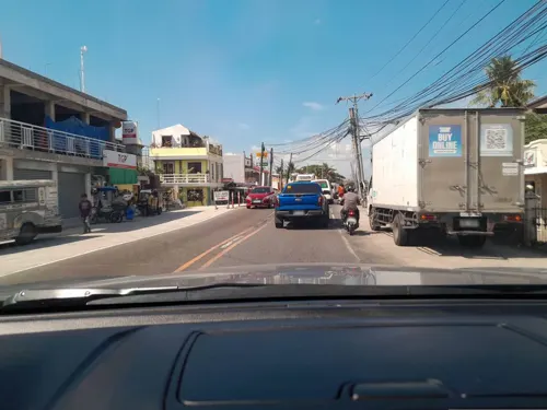
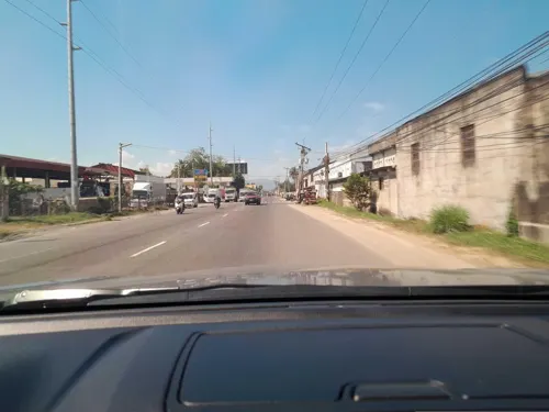
- Street-level photo, ericb1983, CC BY-SA 4.0
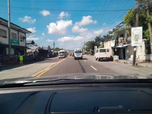
- Street-level photo, ericb1983, CC BY-SA 4.0
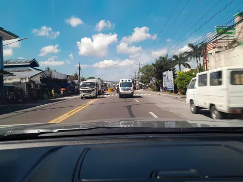
- Street-level photo, ericb1983, CC BY-SA 4.0
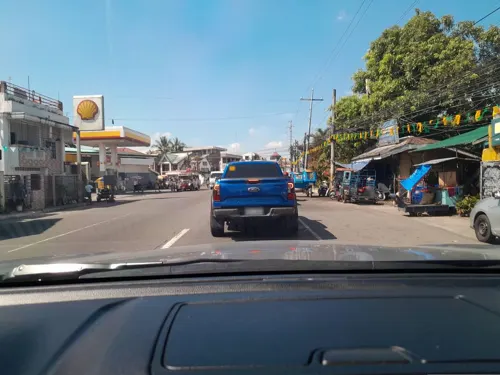
- Street-level photo, ericb1983, CC BY-SA 4.0
- Street-level photo, ericb1983, CC BY-SA 4.0
- Street-level photo, ericb1983, CC BY-SA 4.0
- Street-level photo, ericb1983, CC BY-SA 4.0
- Street-level photo, ericb1983, CC BY-SA 4.0
- Street-level photo, ericb1983, CC BY-SA 4.0
- Street-level photo, ericb1983, CC BY-SA 4.0
- Street-level photo, ericb1983, CC BY-SA 4.0
- Street-level photo, ericb1983, CC BY-SA 4.0
- Street-level photo, ericb1983, CC BY-SA 4.0
- Street-level photo, ericb1983, CC BY-SA 4.0
- Street-level photo, ericb1983, CC BY-SA 4.0
- Street-level photo, ericb1983, CC BY-SA 4.0
- Street-level photo, ericb1983, CC BY-SA 4.0
- Street-level photo, ericb1983, CC BY-SA 4.0
- Street-level photo, ericb1983, CC BY-SA 4.0
- Street-level photo, ericb1983, CC BY-SA 4.0
- Street-level photo, ericb1983, CC BY-SA 4.0
- Street-level photo, ericb1983, CC BY-SA 4.0
- Street-level photo, ericb1983, CC BY-SA 4.0


Page built November 7, 2026. Spotted a mistake? Tell us or suggest a place.