

Tarangnan, Philippines
Tarangnan is a town of 2,762 people in Eastern Visayas, Philippines, founded in April 1, 1884.
Why visit Tarangnan
Townapedia lists 1 park or trail, 1 place to eat and 3 attractions in and around town.
Weather in Tarangnan
Forecast from MET Norway (CC BY 4.0). Full forecast
About Tarangnan
Tarangnan, officially the Municipality of Tarangnan (Waray: Bungto han Tarangnan; Tagalog: Bayan ng Tarangnan), is a municipality in the province of Samar, Philippines. According to the 2024 census, it has a population of 26,013 people.
From the Wikipedia article Tarangnan (this version), under CC BY-SA 4.0.
Things to do3



Parks, trails and playgrounds1

Restaurants and cafes1

Churches and places of worship4

History
During the earlier part of the 17th century, Tarangnan or Tinago was the first settlement of Jesuit missionaries on the island of Samar. Tinago was the first cabecera on Samar where the first Jesuits have arrived, that is October 15, 1596. When Tinago was devastated by the Moro attack in 1616, the Jesuits decided to transfer the cabecera to Catbalogan. Since that time Tinago had not came back to life as pueblo until 1725. The poblacion was established at Dapdap but for access and sanitation it was moved to tarangnan in 1883–1884.
The attempted transfer of the pueblo from Dapdap to Tarangnan in 1882 became highly celebrated case. It was a struggle or a fight between the parish priest of Dapdap, fr. Angel Pulido, OFM and the governadorcillo of Dapdap.
The town of Dapdap was transferred in 1884 to a barrio called Tarangnan, from which it derived its name today. At first the church and convento were constructed of light materials which means bamboo and nipa. The new church was constructed in 1894 by P. Venancio Palencia, OFM and completed in 1897.
From the History section of Tarangnan on Wikipedia, under CC BY-SA 4.0.
Schools, colleges and libraries42
Map of Tarangnan
51 places. The map loads OpenStreetMap tiles when you open it.
Getting there and nearby towns
Calbayog Airport (CYP) is the nearest airport with scheduled flights listed in OpenStreetMap, 29 km away.
- Pagsanghan 8 km north, about 8 min by car
- Gandara 14 km northeast, about 14 min by car
- Catbalogan 21 km southeast, about 21 min by car
- Calbayog City 25 km northwest, about 25 min by car
- Catarman 68 km north, about 1 h 15 min by car
- Carigara 67 km south, about 1 h by car
- Tacloban 78 km south, about 1 h 15 min by car
- Laoang 80 km north, about 1 h 15 min by car
- Borongan 81 km southeast, about 1 h 15 min by car
- Palo 87 km south, about 1 h 30 min by car
Drive times are estimates from straight-line distance, not routes.
Local news
Headlines from INDB.
Reviews, tips and questions
Loading what members have shared...
Sources and licences
- GeoNames (CC BY 4.0): population, coordinates, regions and time zone
- Mapillary (see each image): photos
- OpenStreetMap contributors (ODbL 1.0): places, airports, map data
- Wikidata (CC0 1.0): elevation, founding date, time zone, website
- Wikimedia Commons (see each image): photos
- Wikipedia (CC BY-SA 4.0): overview and history text
Photo credits
- Tarangnan mountaintop view, Unknown author, Public domain
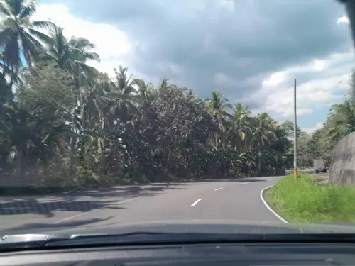
- Street-level photo, ericb1983, CC BY-SA 4.0
Page built November 7, 2026. Spotted a mistake? Tell us or suggest a place.