


Tumauini, Philippines
Tumauini is a town of 3,573 people in Cagayan Valley, Philippines, founded in 1751.
Why visit Tumauini
Townapedia lists 1 park or trail, 4 places to eat, 5 places to stay and 2 attractions in and around town.
Weather in Tumauini
Forecast from MET Norway (CC BY 4.0). Full forecast
About Tumauini
Tumauini [ˌtumaˈwini], officially the Municipality of Tumauini (Ibanag: Ili nat Tumauini; Ilocano: Ili ti Tumauini; Tagalog: Bayan ng Tumauini), is a municipality in the province of Isabela, Philippines. According to the 2024 census, it has a population of 77,153 people.
From the Wikipedia article Tumauini (this version), under CC BY-SA 4.0.
Travel tips from other travellers: Tumauini on Wikivoyage (CC BY-SA 4.0).
Things to do2

Parks, trails and playgrounds1

Restaurants and cafes4

KB Taman
Cafe · Cafe, Store, Milktea, Siomai, Pizza, Coffee Shop, Ice Cream · 10.1 km
Mo-Fr 09:00-17:00


Where to stay5


History
Tumauini was officially established as a Spanish mission in 1704, with civil administration frequently shifting between the neighboring towns of Cabagan and Ilagan. It became a town in its own right on 10 May 1751.
In 1952, the barrios of Barucbuc, Siempre Viva, Bimmonton, Pasurgong, Manga, and Settlement No. 1 were transferred to the newly created town of Mallig.
In 1957, the barrios of San Antonio, San Juan, Ragan Sur, Ragan Norte, Ragan Almacen, San Jose (Bulo), San Patricio, Quibal, San Andres (Lattu), Calinawan Sur, Bayabo, Santor, Santo Rosario, Andarayan, Aneg, San Isidro, Mawi, San Roque, Carmencita, Aga, Villa Pareda, Villaluz, San Pedro, Concepcion, Sammabario and San Nicolas and the sitios of Turod, Paco, Calamagui and Kim-malabasa, were separated from the municipality of Tumauini to form the town of Magsaysay.
Notably, Camp Samal used to be a guerrilla camp during World War II, and SAMAL derives from SA, meaning Sadornas, and MAL from Malana.
From the History section of Tumauini on Wikipedia, under CC BY-SA 4.0.
Churches and places of worship6
Shopping2
Gas and EV charging8
Schools, colleges and libraries122
Healthcare4
Map of Tumauini
154 places. The map loads OpenStreetMap tiles when you open it.
Getting there and nearby towns
Cauayan Airport (CYZ) is the nearest airport with scheduled flights listed in OpenStreetMap, 39 km away.
- Ilagan 17 km southeast, about 17 min by car
- Cabagan 17 km north, about 17 min by car
- Gamu 25 km south, about 25 min by car
- Roxas 27 km southwest, about 27 min by car
- Enrile 34 km north, about 34 min by car
- Tuguegarao 39 km north, about 39 min by car
- Tabuk 42 km west, about 42 min by car
- Solana 44 km north, about 44 min by car
- Alicia 57 km south, about 57 min by car
- Ramon 62 km southwest, about 1 h by car
Drive times are estimates from straight-line distance, not routes.
Local news
Headlines from INDB.
Reviews, tips and questions
Loading what members have shared...
Sources and licences
- GeoNames (CC BY 4.0): population, coordinates, regions and time zone
- Mapillary (see each image): photos
- OpenStreetMap contributors (ODbL 1.0): places, airports, map data
- Wikidata (CC0 1.0): elevation, founding date, time zone, website, landmarks and historic places
- Wikimedia Commons (see each image): photos
- Wikipedia (CC BY-SA 4.0): overview and history text
Photo credits
- Church of Tumauini, Cabajar, CC BY-SA 3.0
- During the 18th Founding Anniversary, TheGreatJess, CC BY-SA 4.0
- During the 18th Founding Anniversary (third floor), TheGreatJess, CC BY-SA 4.0
- Lalauanan High School, Okrabeach, CC0
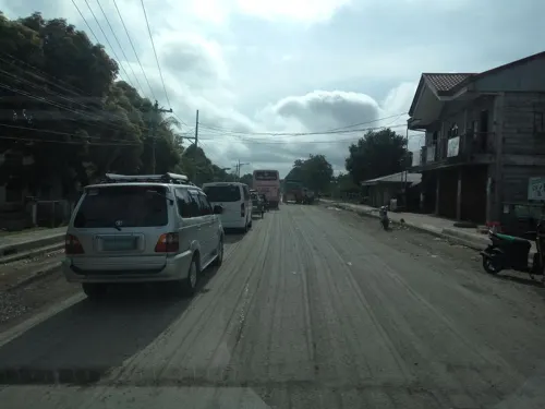
- Street-level photo, asdfasdf0986, CC BY-SA 4.0
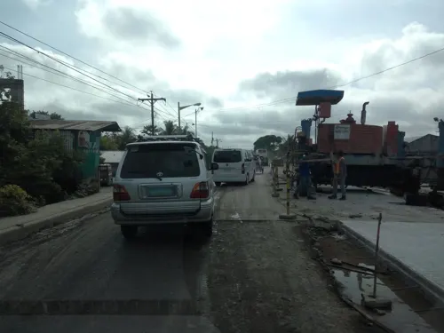
- Street-level photo, asdfasdf0986, CC BY-SA 4.0
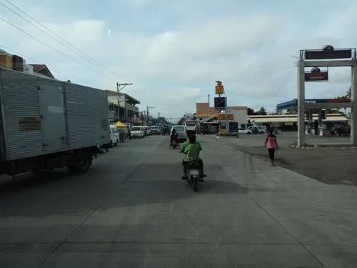
- Street-level photo, asdfasdf0986, CC BY-SA 4.0
- Street-level photo, asdfasdf0986, CC BY-SA 4.0
- Street-level photo, asdfasdf0986, CC BY-SA 4.0
- Street-level photo, asdfasdf0986, CC BY-SA 4.0
- Street-level photo, asdfasdf0986, CC BY-SA 4.0
- Street-level photo, asdfasdf0986, CC BY-SA 4.0
Page built November 7, 2026. Spotted a mistake? Tell us or suggest a place.