


Victoria, Philippines
Victoria is a town of 2,718 people in Eastern Visayas, Philippines.
Why visit Victoria
Townapedia lists 2 parks and trails, 1 place to eat, 5 places to stay and 3 attractions in and around town.
Weather in Victoria
Forecast from MET Norway (CC BY 4.0). Full forecast
About Victoria
Victoria, officially the Municipality of Victoria (Waray: Bungto han Victoria; Tagalog: Bayan ng Victoria), is a municipality in the province of Northern Samar, Philippines. According to the 2024 census, it has a population of 16,085 people.
From the Wikipedia article Victoria, Northern Samar (this version), under CC BY-SA 4.0.
Things to do3



Parks, trails and playgrounds2
Restaurants and cafes1

Where to stay5

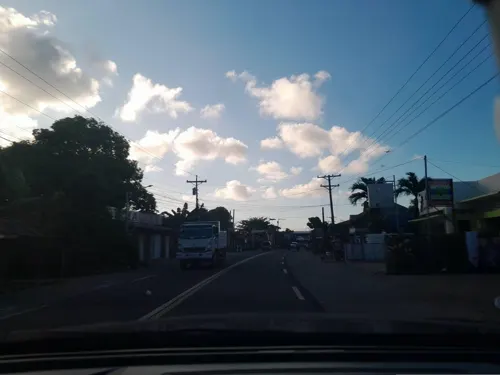
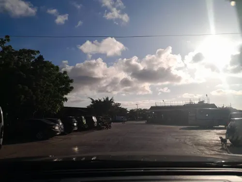


History
On April 27, 1968, barrios Buena Suerte, Buenos Aires, Colabog, Mawo, Maxvilla, San Lazaro, and San Miguel from the municipality of Allen and Acedillo, Erenas, and San Ramon from San Isidro were separated and constituted into a new and separate municipality known as Victoria, by virtue of Republic Act No. 5193. Mawo was designated as the municipal seat of government. The first set of Victoria municipal officials was elected in the following election of 1969.
From the History section of Victoria, Northern Samar on Wikipedia, under CC BY-SA 4.0.
Churches and places of worship6
Shopping4
Gas and EV charging2
Schools, colleges and libraries64
Basilio B. Chan Memorial Agricultural and Industrial School
School · 10.4 km
Allen-Catarman Road
Healthcare2
Map of Victoria
89 places. The map loads OpenStreetMap tiles when you open it.
Getting there and nearby towns
Catarman Airport (CRM) is the nearest airport with scheduled flights listed in OpenStreetMap, 36 km away.
- Erenas 3 km southeast, about 3 min by car
- Catarman 36 km east, about 36 min by car
- Barcelona 50 km north, about 50 min by car
- Calbayog City 52 km southeast, about 52 min by car
- Gubat 56 km north, about 56 min by car
- Sorsogon 68 km northwest, about 1 h 15 min by car
- Mobo 72 km west, about 1 h 15 min by car
- Castilla 73 km northwest, about 1 h 15 min by car
- Laoang 78 km east, about 1 h 15 min by car
- Pilar 87 km northwest, about 1 h 30 min by car
Drive times are estimates from straight-line distance, not routes.
Local news
Headlines from INDB.
Reviews, tips and questions
Loading what members have shared...
Sources and licences
- GeoNames (CC BY 4.0): population, coordinates, regions and time zone
- Mapillary (see each image): photos
- OpenStreetMap contributors (ODbL 1.0): places, airports, map data
- Openverse (see each image): photos
- Wikidata (CC0 1.0): elevation, founding date, time zone, website
- Wikimedia Commons (see each image): photos
- Wikipedia (CC BY-SA 4.0): overview and history text
Photo credits
- Balicuartro San Antonio, M M, CC BY-SA 2.0
- Philippines, Balicuartro (7032650437), M M from Switzerland, CC BY-SA 2.0
- Philippines, Balicuartro (6886581476), M M from Switzerland, CC BY-SA 2.0
- Philippines, Balicuartro (6886561898), M M from Switzerland, CC BY-SA 2.0
- ISS061-E-138259 - View of the Philippines, Earth Science and Remote Sensing Unit, NASA Johnson Space Center, Public domain
- Banka at Allen Northern Samar, Ariel, CC BY 2.0
- Concierto de Navidad por la Coral Victoria, Unknown author, Public domain
- Victoria Park in Bhavnagar, Gujarat Tourist Guide, CC BY 2.0
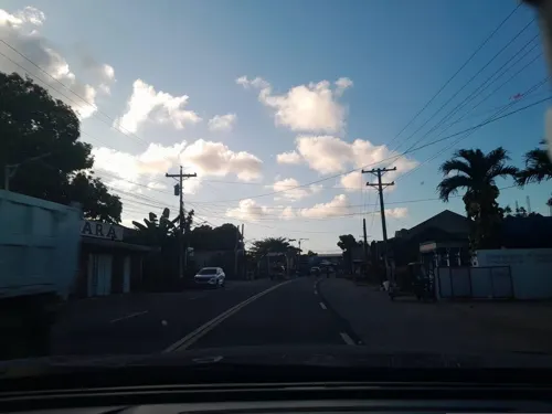
- Street-level photo, ericb1983, CC BY-SA 4.0
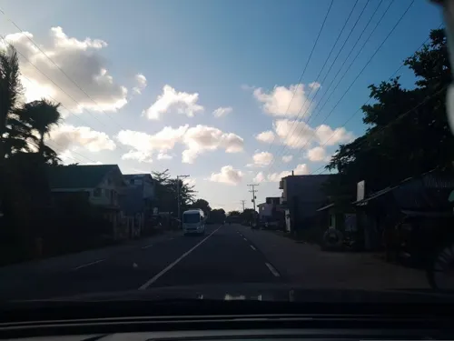
- Street-level photo, ericb1983, CC BY-SA 4.0
- Street-level photo, ericb1983, CC BY-SA 4.0
- Street-level photo, ericb1983, CC BY-SA 4.0
- Street-level photo, ericb1983, CC BY-SA 4.0
- Street-level photo, ericb1983, CC BY-SA 4.0
- Street-level photo, ericb1983, CC BY-SA 4.0
- Street-level photo, ericb1983, CC BY-SA 4.0
- Street-level photo, ericb1983, CC BY-SA 4.0
- Street-level photo, ericb1983, CC BY-SA 4.0
- Street-level photo, ericb1983, CC BY-SA 4.0
Page built November 7, 2026. Spotted a mistake? Tell us or suggest a place.