


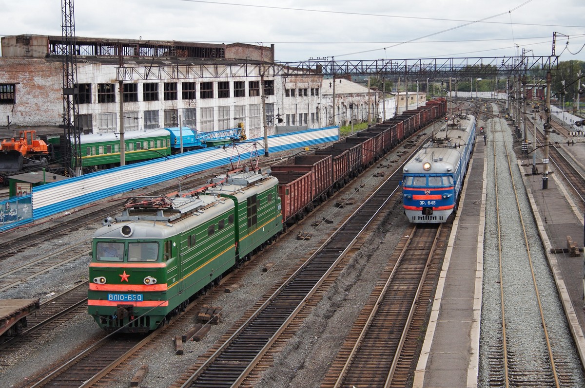


Belovo, Russia
Белово
Belovo is a town of 75,764 people in Kuzbass, Russia, founded in 1726.
Why visit Belovo
Townapedia lists 6 museums and landmarks, 5 parks and trails, 14 places to eat, 4 places to stay and 1 attraction in and around town.
Weather in Belovo
Forecast from MET Norway (CC BY 4.0). Full forecast
About Belovo
Belovo (Russian: Белово) is a town in Kemerovo Oblast, Russia, located on the Bachat River 170 kilometers (110 mi) south of Kemerovo. Population: 76,764 (2010 census); 82,425 (2002 census); 93,108 (1989 Soviet census).
From the Wikipedia article Belovo, Kemerovo Oblast (this version), under CC BY-SA 4.0.
Things to do1

Museums and landmarks6

Parks, trails and playgrounds5



Restaurants and cafes14



2 more on the map.
History
The village of Belovo for the first time is mentioned in 1726. It was named after a fugitive peasant Fyodor Belov, who built a small taiga house, a so-called zaimka, on the bank of the Bachat River. The year of 1855 was a new page in the history of settlement: the mining of mineral resources on the found coal field began. In 1938, Belovo was granted town status. The town developed as a conglomeration of departmental settlements, whose population was directly or indirectly involved with the coal mines, a power station, and the railway.
From the History section of Belovo, Kemerovo Oblast on Wikipedia, under CC BY-SA 4.0.
Where to stay4
Churches and places of worship1
Shopping23
Gas and EV charging17
Schools, colleges and libraries18
Healthcare18
Беловский врачебно-физкультурный диспансер
Hospital · 1.5 km
31А улица Розы Люксембург, Белово
Беловский кожно-венерологический диспансер
Hospital · 1.5 km
35А улица Розы Люксембург
Map of Belovo
107 places. The map loads OpenStreetMap tiles when you open it.
Getting there and nearby towns
Novokuznetsk (Spichenkovo) Airport (NOZ) is the nearest airport with scheduled flights listed in OpenStreetMap, 78 km away.
- Inskoy 9 km east, about 9 min by car
- Staropesterevo 11 km northeast, about 11 min by car
- Novyy Gorodok 13 km south, about 13 min by car
- Gramoteino 14 km northeast, about 14 min by car
- Krasnogorskiy 14 km north, about 14 min by car
- Polysayevo 20 km north, about 20 min by car
- Leninsk-Kuznetsky 27 km north, about 27 min by car
- Gur’yevsk 27 km southwest, about 27 min by car
- Kiselëvsk 53 km southeast, about 53 min by car
- Prokop’yevsk 63 km southeast, about 1 h by car
Drive times are estimates from straight-line distance, not routes.
Local news
Headlines from INDB.
Reviews, tips and questions
Loading what members have shared...
Sources and licences
- GeoNames (CC BY 4.0): population, coordinates, regions and time zone
- OpenStreetMap contributors (ODbL 1.0): places, airports, map data
- Wikidata (CC0 1.0): elevation, founding date, time zone, website
- Wikimedia Commons (see each image): photos
- Wikipedia (CC BY-SA 4.0): overview and history text
Photo credits
- City Hall Belovo 5254, Vestnik-64, CC BY-SA 3.0
- SV-05 (ER2), Илья Плеханов, CC BY-SA 3.0
- Станция Белово, Ilya Plekhanov, CC BY-SA 3.0
- 32K-445 expressway 10, Bkdrf, CC BY 4.0
- 32K-445 expressway 09, Bkdrf, CC BY 4.0
- 32K-445 expressway 08, Bkdrf, CC BY 4.0
- 32K-445 expressway 11, Bkdrf, CC BY 4.0
- 32K-445 expressway 07, Bkdrf, CC BY 4.0


Page built November 4, 2026. Spotted a mistake? Tell us or suggest a place.