


Lobnya, Russia
Лобня
Lobnya is a town of 61,772 people in Moscow Oblast, Russia, founded in 1902.
Why visit Lobnya
Townapedia lists 42 museums and landmarks, 5 parks and trails, 53 places to eat, 7 places to stay and 3 attractions in and around town.
Highlights include Камерная сцена, Куклы и Люди, Дом культуры "Луговая" and Музейный комплекс «История танка Т-34».
Weather in Lobnya
Forecast from MET Norway (CC BY 4.0). Full forecast
About Lobnya
Lobnya (Russian: Ло́бня) is a town in Moscow Oblast, Russia, located 30 kilometres (19 mi) north west of Moscow. Population: 82,764 (2021 census); 74,252 (2010 census); 61,567 (2002 census); 60,475 (1989 Soviet census); 30,000 (1970).
From the Wikipedia article Lobnya (this version), under CC BY-SA 4.0.
Things to do3

Museums and landmarks42

Дом культуры "Луговая"
Museum · 2.5 km
к4 улица Научный Городок
Mo 15:00-22:00; Tu-Sa 10:00-22:00; Su 12:00-15:00


Планета талантов
Museum · 2.3 km
Центр детского и юношеского творчества "Планета Талантов"
9 улица Победы

Ил-76
Monument and historic site · 4.9 km
Real plane, being used as training simulator
Ил-86
Monument and historic site · 4.9 km
Real plane, being used as training simulator
Поклонный крест
Monument and historic site · 2.9 km
Установлен вблизи места, где находилась церковь во имя Серафима Саровского, разрушенная в 1920-х годах.
Ту-154
Monument and historic site · 4.9 km
Real plane, being used as training simulator
30 more on the map.
Parks, trails and playgrounds5


Restaurants and cafes53


Зай АТС
Cafe · Coffee Shop, Sandwich · 2.8 km
улица Окружная, Лобня
Mo-Su 09:00-21:00
Кафе "Точка Востока"
Cafe · 2.8 km
Краснополянский проезд, Лобня
24/7
Кафе "Желток"
Cafe · 2.7 km
20, строение 1 Краснополянская улица, Лобня
Ежедневно с 9:00 до 20:00
41 more on the map.
Where to stay7
Churches and places of worship6
Церковь Иконы Божией Матери Спорительница Хлебов
Church · Russian Orthodox · 2.6 km
7А Полевая улица
Shopping59
Gas and EV charging6
Schools, colleges and libraries19
Healthcare44
Map of Lobnya
244 places. The map loads OpenStreetMap tiles when you open it.
Getting there and nearby towns
Sheremetyevo International Airport (SVO) is the nearest airport with scheduled flights listed in OpenStreetMap, 8 km away.
- Nekrasovskiy 7 km north, about 7 min by car
- Khimki 14 km south, about 14 min by car
- Skhodnya 14 km southwest, about 14 min by car
- Zelenograd 18 km west, about 18 min by car
- Mytishchi 21 km southeast, about 21 min by car
- Pushkino 23 km east, about 23 min by car
- Pravdinskiy 25 km east, about 25 min by car
- Korolev 26 km southeast, about 26 min by car
- Nakhabino 27 km southwest, about 27 min by car
- Moscow 32 km south, about 32 min by car
Drive times are estimates from straight-line distance, not routes.
Local news
Headlines from INDB.
Reviews, tips and questions
Loading what members have shared...
Sources and licences
- GeoNames (CC BY 4.0): population, coordinates, regions and time zone
- OpenStreetMap contributors (ODbL 1.0): places, airports, map data
- Wikidata (CC0 1.0): elevation, founding date, time zone, website
- Wikimedia Commons (see each image): photos
- Wikipedia (CC BY-SA 4.0): overview and history text
Photo credits
- Лобня, микрорайон Катюшки, Legioner2016, CC BY-SA 4.0
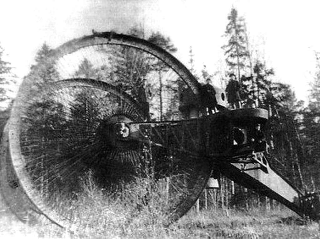
- Tsar tank, Unknown author Unknown author, Public domain
- Водонапорная башня в поселке Луговая, Original uploader was EugeneF at ru.wikipedia, CC BY-SA 3.0
Page built November 4, 2026. Spotted a mistake? Tell us or suggest a place.