
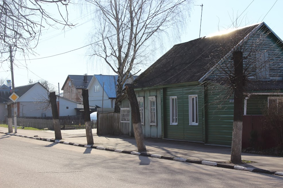

Shumyachi, Russia
Шумячи
Shumyachi is a town of 4,607 people in Smolensk Oblast, Russia, founded in 1587.
Weather in Shumyachi
Forecast from MET Norway (CC BY 4.0). Full forecast
About Shumyachi
Shumyachi (Russian: Шумячи; Belarusian: Шумячы) is an urban locality (an urban-type settlement) and the administrative center of Shumyachsky District of Smolensk Oblast, Russia. Population: 4,227 (2010 census); 4,731 (2002 census); 5,724 (1989 Soviet census).
From the Wikipedia article Shumyachi (this version), under CC BY-SA 4.0.
Schools, colleges and libraries1

Healthcare3


History
Shumyachi is first mentioned in 1587 when it belonged to Poland. In 1772, as a result of the First Partition of Poland, it was transferred to Russia and included in the newly established Mogilev Governorate. It belonged to Klimovichsky Uyezd. In 1919, Mogilev Governorate was abolished, and the area was transferred to Gomel Governorate. In 1922, it was included to Roslavlsky Uyezd of Smolensk Governorate.
On 12 July 1929, governorates and uyezds were abolished, and Shumyachsky District with the administrative center in the settlement of Shumyachi was established. The district belonged to Roslavl Okrug of Western Oblast. On August 1, 1930, the okrugs were abolished, and the districts were subordinated directly to the oblast. On 27 September 1937 Western Oblast was abolished and split between Oryol and Smolensk Oblasts. Shumyachsky District was transferred to Smolensk Oblast. Between August 1941 and 1943, during WWII, the district was occupied by German troops. In 1965, Shumyachi was granted the urban-type settlement status.
From the History section of Shumyachi on Wikipedia, under CC BY-SA 4.0.
Map of Shumyachi
4 places. The map loads OpenStreetMap tiles when you open it.
Getting there and nearby towns
Smolensk South Tikhvinka Airport (LNX) is the nearest airport with scheduled flights listed in OpenStreetMap, 101 km away.
- Roslavl’ 31 km east, about 31 min by car
- Yershichi 30 km southeast, about 30 min by car
- Oster 30 km northeast, about 30 min by car
- Stodolishche 39 km north, about 39 min by car
- Khislavichi 41 km northwest, about 41 min by car
- Shatalovo 53 km north, about 53 min by car
- Pochinok 61 km north, about 1 h by car
- Seshcha 61 km east, about 1 h by car
- Desnogorsk 65 km northeast, about 1 h by car
- Monastyrshchina 67 km northwest, about 1 h by car
Drive times are estimates from straight-line distance, not routes.
Local news
Headlines from INDB.
Reviews, tips and questions
Loading what members have shared...
Sources and licences
- GeoNames (CC BY 4.0): population, coordinates, regions and time zone
- OpenStreetMap contributors (ODbL 1.0): places, airports, map data
- Wikidata (CC0 1.0): elevation, founding date, time zone, website
- Wikimedia Commons (see each image): photos
- Wikipedia (CC BY-SA 4.0): overview and history text
Photo credits
- Shumyachi (02), Zelyoniy.anton, CC BY-SA 4.0
Page built November 4, 2026. Spotted a mistake? Tell us or suggest a place.