

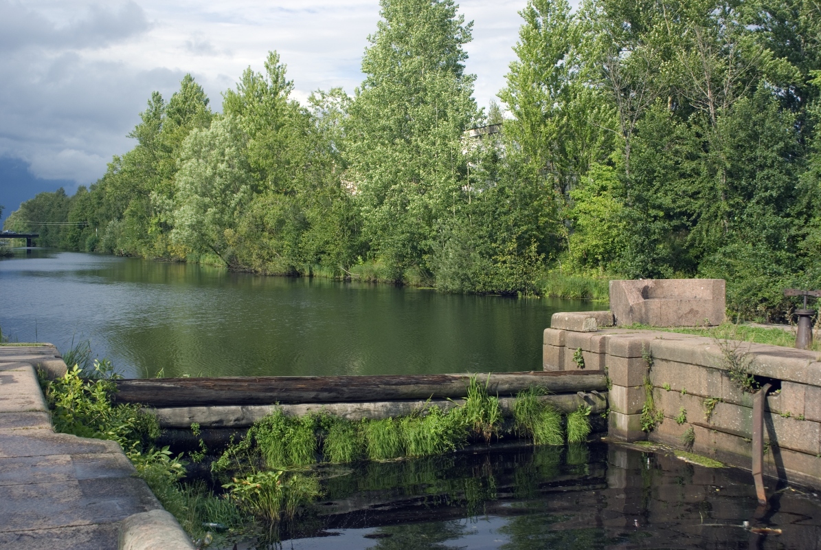


Sinyavino, Russia
Синявино
Sinyavino is a town of 3,593 people in Leningradskaya Oblast', Russia.
Why visit Sinyavino
Townapedia lists 163 museums and landmarks, 13 parks and trails, 60 places to eat, 9 places to stay and 6 attractions in and around town.
Highlights include Ladoga Canal, Oreshek Fortress, Breakthrough of the Siege of Leningrad and Музей истории Шлиссельбурга.
Weather in Sinyavino
Forecast from MET Norway (CC BY 4.0). Full forecast
About Sinyavino
Sinyavino (Russian: Синя́вино) is an urban locality (an urban-type settlement) in Kirovsky District of Leningrad Oblast, Russia, located several kilometers inland from the southern shore of Lake Ladoga, 58 kilometers (36 mi) east of St. Petersburg and 8 kilometers (5.0 mi) east from Kirovsk. Municipally it is incorporated as Sinyavinskoye Urban Settlement, one of the eight urban settlements in the district. Population: 3,784 (2010 census); 3,611 (2002 census); 1,949 (1989 Soviet census).
From the Wikipedia article Sinyavino, Leningrad Oblast (this version), under CC BY-SA 4.0.
Things to do6



Культурно-спортивный комплекс "Невский"
Cinema and theater · 4.0 km
2 улица Малоневский канал, Шлиссельбург
Museums and landmarks163

Breakthrough of the Siege of Leningrad
Museum · 4.2 km
38 Красный тракт, Шлиссельбург
Tu-Th,Su 10:00-18:00; Sa 10:00-20:00


Nevsky Pyatachok & Nevskaya Dubrovka
Monument and historic site · 9.9 km
Bridgehead for Soviet troops in the battle to lift the blockade of Leningrad




Домик на пристани
Museum · 4.9 km
1А улица Новоладожский канал, Шлиссельбург
We-Su 11:00-17:00


151 more on the map.
Parks, trails and playgrounds13



1 more on the map.
Restaurants and cafes60


Хочу ещё
Restaurant · American, Italian, Japanese, Russian · 4.5 km
16 улица Староладожский канал, Шлиссельбург
Mo-Su 12:00-22:00
Кафе-столовая
Cafe · 4.3 km
1 Затонная улица, Шлиссельбург
09:00-20:00
Buffo
Restaurant · Pizza, Japanese, Asian, Local · 5.7 km
Mo-Th,Su 12:00-23:00; Fr-Sa 12:00-24:00
Skala
Restaurant · 6.2 km
1В Железнодорожная улица
Su-Th 11:00-02:00; Fr-Sa 11:00-05:00
48 more on the map.
History
The selo of Sinyavino was created in the beginning of the 18th century, when Peter the Great gave the lands in the area to his military officer Naum Senyavin. The selo was destroyed during World War II and never restored, but the name was transferred in the 1920s to the settlement which was serving peat production. The settlement of Sinyavino was at the time located in Leningradsky Uyezd of Leningrad Governorate.
On August 1, 1927, the uyezds were abolished and Mginsky District, with the administrative center in Mga, was established. The governorates were also abolished, and the district was a part of Leningrad Okrug of Leningrad Oblast. On April 20, 1930 Sinyavino was granted urban-type settlement status. On July 23, 1930, the okrugs were abolished as well, and the districts were directly subordinated to the oblast. On September 20, 1930, the administrative center of the district was transferred to the selo of Putilovo, and the district renamed Putilovsky. On September 20, 1931 the district center was moved back to Mga, and the district was renamed back Mginsky. During World War II, Sinyavino was occupied by German troops. In 1942, Sinyavino became the central point of the Sinyavino Offensive, a military operation of the Soviet army with the purpose of relieving the Siege of Leningrad.
From the History section of Sinyavino, Leningrad Oblast on Wikipedia, under CC BY-SA 4.0.
Where to stay9
Churches and places of worship7
Собор Благовещения Пресвятой Богородицы
Church · Russian Orthodox · 4.6 km
Храм во имя Святых апостолов Петра и Павла
Church · Russian Orthodox · 7.6 km
8 улица Мира, посёлок имени Морозова
Shopping46
Gas and EV charging6
Schools, colleges and libraries13
Healthcare33
Map of Sinyavino
250 places. The map loads OpenStreetMap tiles when you open it.
Getting there and nearby towns
Pulkovo Airport (LED) is the nearest airport with scheduled flights listed in OpenStreetMap, 47 km away.
- Shlissel’burg 5 km north, about 5 min by car
- Kirovsk 5 km southwest, about 5 min by car
- Imeni Morozova 8 km north, about 8 min by car
- Otradnoye 20 km southwest, about 20 min by car
- Vsevolozhsk 25 km northwest, about 25 min by car
- Nikol’skoye 28 km southwest, about 28 min by car
- Kudrovo 31 km west, about 31 min by car
- Kolpino 32 km southwest, about 32 min by car
- Metallostroy 32 km west, about 32 min by car
- Saint Petersburg 42 km west, about 42 min by car
Drive times are estimates from straight-line distance, not routes.
Local news
Headlines from INDB.
Reviews, tips and questions
Loading what members have shared...
Sources and licences
- GeoNames (CC BY 4.0): population, coordinates, regions and time zone
- OpenStreetMap contributors (ODbL 1.0): places, airports, map data
- Wikidata (CC0 1.0): elevation, founding date, time zone, website, landmarks and historic places
- Wikimedia Commons (see each image): photos
- Wikipedia (CC BY-SA 4.0): overview and history text
Photo credits
- Sinyavino eminences memorial 5, One half 3544, Public domain
- Old ladoga chanel lock gate, Denis Zhilin, CC BY-SA 3.0
- Pyatachok 1, 13243546A, CC BY-SA 4.0
- M30 howitzer nn 1, LostArtilleryman, CC BY-SA 2.5
- Operation Iskra January 1943. 01, VT1978, CC BY-SA 3.0
- ZiS3 nn, No machine-readable author provided. LostArtilleryman~commonswiki assumed (based on copyright claims)., Public domain
- БТсправа-ЭкспозицияВоеннойТехники, Андрей!, Public domain
- Собор Благовещения Пресвятой Богородицы Шлиссельбург, Andreykokin, CC BY-SA 4.0
- Крепость Орешек. Г. Шлиссельбург (Санкт-Петербург) (cropped), Moneycantbuy, CC BY-SA 4.0
- Verkhnyaya Pyshma Tank Museum 2011 011, Владимир Саппинен, CC BY 3.0
- Фрагмент диорамы «Прорыв блокады Ленинграда» (1), Игорь(Питер), CC BY-SA 4.0
- KV-1, One half 3544, Public domain
- 6684. Oreshek Fortress, GAlexandrova, CC BY-SA 4.0
- Трасса Кола в Ленинградской области около Синявина, Росавтодор, CC BY 4.0
- Синявинская развязка, Росавтодор, CC BY 4.0
- Шлиссельбург, Третьевёрстный мост (1), Avsolov, CC BY-SA 4.0
- Шлиссельбург, Третьевёрстный мост (2), Avsolov, CC BY-SA 4.0
- Шлиссельбург, Третьевёрстный мост (4), Avsolov, CC BY-SA 4.0
- Шлиссельбург, Третьевёрстный мост (5), Avsolov, CC BY-SA 4.0
- Шлиссельбург, Третьевёрстный мост (3), Avsolov, CC BY-SA 4.0
- Синявинская развязка 2, Росавтодор, CC BY 4.0
- Шлиссельбург, Третьевёрстный мост, Avsolov, CC BY-SA 4.0
- Oreshek Fortress, Vasiliy Baryshnikov, CC BY 3.0
- Oreshek Fortress, Vasiliy Baryshnikov, CC BY 3.0
- Oreshek Fortress, Vasiliy Baryshnikov, CC BY 3.0
- Шлиссельбург, ул.18-го Января, кошка, Olksolo, CC BY-SA 4.0
- Могила Орешек, Кривошеина Мария, CC BY-SA 3.0
- Шлиссельбург, Малоневский канал, мост (5), Olksolo, CC BY-SA 4.0
- Шлиссельбург, Малоневский канал, мост (4), Olksolo, CC BY-SA 4.0
- Шлиссельбург, Малоневский канал, мост (3), Olksolo, CC BY-SA 4.0
- Шлиссельбург, Малоневский канал, мост (2), Olksolo, CC BY-SA 4.0
- Шлиссельбург, Малоневский канал, мост (1), Olksolo, CC BY-SA 4.0
- Шлиссельбург, ул.Комсомольская 8, вид 4, Olksolo, CC BY-SA 4.0
- Шлиссельбург, ул.Затонная 13, вид 3, Olksolo, CC BY-SA 4.0
- Шлиссельбург, ул.Затонная 11, вид 1, Olksolo, CC BY-SA 4.0
- Шлиссельбург, ул.Затонная 15, вид 2, Olksolo, CC BY-SA 4.0
- Шлиссельбург, ул.Затонная 15, вид 1, Olksolo, CC BY-SA 4.0
- Шлиссельбург, ул.Комсомольская 8, вид 3, Olksolo, CC BY-SA 4.0
- Шлиссельбург, ул.Комсомольская 8, вид 1, Olksolo, CC BY-SA 4.0
- Музей-панорама в Кировске - panoramio (7), MrStepanovka, CC BY 3.0


Page built November 4, 2026. Spotted a mistake? Tell us or suggest a place.