

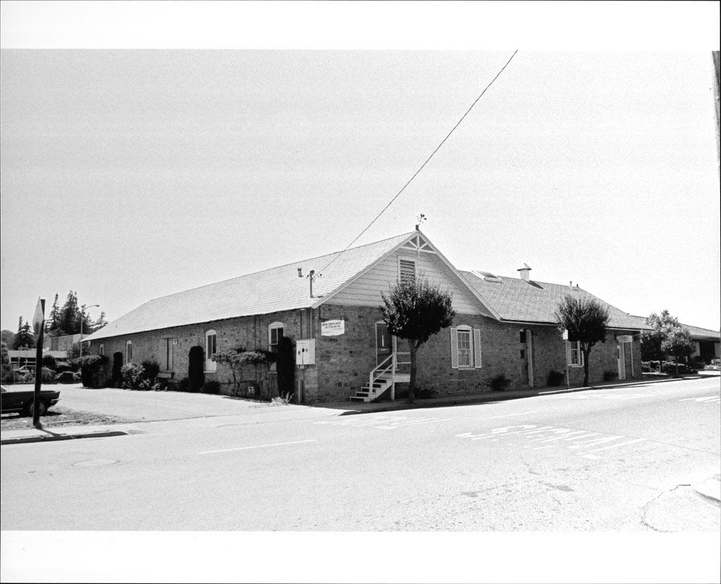


Sebastopol, California
Sebastopol is a city of 7,445 people in Sonoma County, California, founded in 1902.
Why visit Sebastopol
Townapedia lists 25 museums and landmarks, 15 parks and trails, 70 places to eat, 2 places to stay and 4 attractions in and around town.
Highlights include Rialto Cinemas Sebastopol, L&N Produce Stand, George A. Strout House and Hinds Hotel.
August is the warmest month, with average highs of 84°F; December lows average 37°F.
Weather in Sebastopol
Forecast from the National Weather Service. Full forecast
About Sebastopol
Sebastopol ( sib-AST-ə-pohl, -pool) is a city in Sonoma County, California, United States with a recorded population of 7,521, per the 2020 U.S. census.
From the Wikipedia article Sebastopol, California (this version), under CC BY-SA 4.0.
Things to do4


Museums and landmarks25
George A. Strout House
Monument and historic site · National Register of Historic Places
Historic home in Sebastopol, California

Hinds Hotel
Monument and historic site · National Register of Historic Places · 3.3 mi
Historic building in Freestone, California, United States

Luther Burbank's Gold Ridge Experiment Farm
Monument and historic site · National Register of Historic Places · 0.4 mi
Historic farm in Sebastopol, California
Petaluma and Santa Rosa Railway Powerhouse
Monument and historic site · National Register of Historic Places
Historic building in California


Sebastopol station
Monument and historic site · National Register of Historic Places
Former interurban railway station in Sebastopol, California

Retrospect
Museum
Mid-century modern furniture art gallery
104 Petaluma Avenue, Sebastopol
Th-Su 11:00-17:00
Sebastopol Center for the Arts
Museum
282 South High Street, Sebastopol
Tu-Fr 10:00-16:00; Sa-Su 13:00-16:00

Railcar
Monument and historic site
Old railcar along the path of the former Petaluma and Santa Rosa Railroad.
13 more on the map.
Parks, trails and playgrounds15

Ragle Ranch Regional Park
Park · 1.3 mi
Regional park in Sebastopol, California
Laguna Uplands Preserve
Park · 0.6 mi
This small open space preserve is located at the end of Palm Ave. The property is characterized by moderately sloping hillsides, with...
Palm Avenue, Sebastopol
3 more on the map.
Restaurants and cafes70

Bubbles Boba & Gifts
Cafe · Bubble Tea · 0.8 mi
954 Gravenstein Highway S, Sebastopol
Mo-Su 11:00-18:00
Coffee & Moore
Cafe · Coffee Shop · 0.4 mi
6761 Sebastopol Avenue, Sebastopol
Mo-Sa 08:00-17:00; Su 09:00-17:00

Cozy Plum
Restaurant · Burger, Sandwich, Salad
6970 McKinley Street
Mo-Th,Su 11:00-19:00; Fr-Sa 11:00-20:00
Handline
Restaurant · American, Seafood · 0.8 mi
935 Gravenstein Highway S, Sebastopol
Mo-Su 11:00-20:00
Inca's Peruvian Cuisine
Restaurant · Peruvian · 0.6 mi
799 Gravenstein Highway S, Sebastopol
Mo-Sa 11:00-20:30; Su 12:00-20:00
Kathmandu Cafe & Grill
Restaurant · Nepalese · 0.4 mi
6761 Sebastopol Avenue, Sebastopol
Mo, We-Su 11:30-14:30, 17:00-21:00
Psychic Pie
Restaurant · Pizza · 0.8 mi
980 Gravenstein Highway S, Sebastopol
We 16:00-20:00; Th-Su 11:30-20:00
Ramen Gaijin
Restaurant · Ramen, Japanese
6948 Sebastopol Avenue, Sebastopol
Mo,Su off; Tu-Sa 12:00-16:30,17:00-21:00
58 more on the map.
Where to stay2
Churches and places of worship8
Kingdom Hall of Jehovahs Witnesses
Church · Jehovahs Witness · 0.6 mi
744 North Main Street, Sebastopol
Shopping18
Sebastopol Liquor and Delicatessen
Shop · 0.4 mi
6800 Sebastopol Avenue, Sebastopol
Gas and EV charging4
Schools, colleges and libraries49
Healthcare3
Map of Sebastopol
198 places. The map loads OpenStreetMap tiles when you open it.
Climate by month
Monthly table
| Month | High | Low | Rain | Snow |
|---|---|---|---|---|
| Jan | 58°F | 37°F | 7.9 in | 0.0 in |
| Feb | 62°F | 39°F | 7.5 in | 0.0 in |
| Mar | 66°F | 41°F | 5.2 in | 0.0 in |
| Apr | 70°F | 42°F | 2.6 in | 0.0 in |
| May | 75°F | 46°F | 1.4 in | 0.0 in |
| Jun | 81°F | 48°F | 0.4 in | 0.0 in |
| Jul | 83°F | 50°F | 0.0 in | 0.0 in |
| Aug | 84°F | 50°F | 0.1 in | 0.0 in |
| Sep | 84°F | 48°F | 0.2 in | 0.0 in |
| Oct | 78°F | 44°F | 2.0 in | 0.0 in |
| Nov | 67°F | 40°F | 4.4 in | 0.0 in |
| Dec | 58°F | 37°F | 8.3 in | 0.0 in |
U.S. Climate Normals 1991-2020 for Graton (3 mi away), NOAA NCEI.
People and cost of living
American Community Survey 5-year estimates, 2020-2024, U.S. Census Bureau. Estimates have margins of error, larger for small towns.
Disaster history
Sonoma County has had 23 federal disaster declarations since 2000, most often for fires.
- 2023-04-03: Severe Winter Storms, Straight-Line Winds, Flooding, Landslides, And Mudslides (Severe Storm)
- 2023-03-10: Severe Winter Storms, Flooding, Landslides, And Mudslides (Flood)
- 2023-01-14: Severe Winter Storms, Flooding, Landslides, And Mudslides (Flood)
- 2023-01-09: Severe Winter Storms, Flooding, And Mudslides (Flood)
- 2020-10-16: Wildfires (Fire)
- 2020-09-27: Glass Fire (Fire)
OpenFEMA disaster declarations summaries.
Getting there and nearby towns
Sonoma County Airport (STS) is the nearest airport with scheduled flights listed in OpenStreetMap, 7 miles away.
- Graton 3 mi northwest, about 5 min by car
- Occidental 6 mi west, about 9 min by car
- Santa Rosa 7 mi northeast, about 12 min by car
- Forestville 7 mi northwest, about 11 min by car
- Rohnert Park 8 mi southeast, about 12 min by car
- Cotati 8 mi southeast, about 13 min by car
- Larkfield-Wikiup 9 mi northeast, about 14 min by car
- Sonoma State University 9 mi southeast, about 15 min by car
- Windsor 10 mi north, about 16 min by car
- Penngrove 11 mi southeast, about 18 min by car
Drive times are estimates from straight-line distance, not routes.
Local news
Headlines from INDB, the NEMICO news database.
Reviews, tips and questions
Loading what members have shared...
Sources and licences
- NCES EDGE (Public domain): public schools
- NOAA NCEI U.S. Climate Normals 1991-2020 (Public domain): climate by month
- OpenFEMA (Public domain): disaster declarations
- OpenStreetMap contributors (ODbL 1.0): places, airports, map data
- U.S. Census Bureau (Public domain): population, income, housing, education, commute
- Wikidata (CC0 1.0): elevation, founding date, time zone, website, landmarks and historic places
- Wikimedia Commons (see each image): photos
- Wikipedia (CC BY-SA 4.0): overview and history text
Photo credits
- SebastopolMainStreetEdit2722, Stephen Gold, Public domain
- P&SR Power House, Dennis Harris, CC BY 3.0
- Sebastopol Depot of the Petaluma and Santa Rosa Railway, 261 S. Main St., Sebastopol, CA 7-11-2010 3-44-21 PM, Sanfranman59, CC BY-SA 3.0
- Strout House 3522, Stepheng3, Public domain
- Luther Burbank's cottage, Frank Schulenburg, CC BY-SA 3.0
- Hinds Hotel, 306 Bohemian Hwy., Freestone, CA 7-5-2010 3-22-41 PM, Sanfranman59, CC BY-SA 3.0
Page built October 30, 2026. Spotted a mistake? Tell us or suggest a place.