




Why visit Sienna
Townapedia lists 3 museums and landmarks, 2 parks and trails and 2 places to eat in and around town.
Highlights include Sienna Golf Club.
August is the warmest month, with average highs of 93°F; January lows average 43°F.
Weather in Sienna
Forecast from the National Weather Service. Full forecast
About Sienna
Sienna, formerly known as Sienna Plantation, is a census-designated place and master-planned community located in Fort Bend County, Texas, United States. It is mostly in the extraterritorial jurisdiction (ETJ) of Missouri City with the remainder in the ETJ of Arcola. The population was 20,204 at the 2020 census, up from 13,721 at the 2010 census.
From the Wikipedia article Sienna, Texas (this version), under CC BY-SA 4.0.
Museums and landmarks3

Parks, trails and playgrounds2


Restaurants and cafes2


Churches and places of worship5

St Angela Merici Catholic Church
Church · Roman Catholic · 3.0 mi
9009 Sienna Ranch Road, Missouri City
The Church of Jesus Christ of Latter-Day Saints, Sienna Plantation Ward
Church · Mormon · 1.3 mi
8333 Scanlan Trace, Missouri City
History
The Sienna subdivision is on land that previously operated as a sugar and cotton plantation, which relied on enslaved labor during the 19th century. The land was purchased in 1840 by Jonathan D. Waters, a South Carolina planter, who developed it into a working plantation along the Brazos River. Like many plantations in Texas at the time, it depended on enslaved people for agricultural production until the abolition of slavery in 1865.
In 1872, Houston businessman Thomas W. House acquired the property, followed by former Houston mayor Thomas H. Scanlan in 1913. The Scanlan family later entrusted the land to the Scanlan Foundation, which benefited the Roman Catholic Archdiocese of Galveston–Houston. From the 1950s until 1972, the Cenacle Sisters operated the Cenacle Retreat on the property as a religious retreat center.
In the 1970s, developer Larry Johnson founded the Johnson Development Corporation and began planning the transformation of the area into a master-planned community. In 1978, the initial development phase started, including single-family homes, roads, and a 10-mile-long levee for flood protection. However, the project stalled during the economic downturn of the 1980s.
From the History section of Sienna, Texas on Wikipedia, under CC BY-SA 4.0.
Schools, colleges and libraries32
Map of Sienna
44 places. The map loads OpenStreetMap tiles when you open it.
Climate by month
Monthly table
| Month | High | Low | Rain | Snow |
|---|---|---|---|---|
| Jan | 63°F | 43°F | 4.1 in | 0.0 in |
| Feb | 67°F | 47°F | 3.0 in | 0.0 in |
| Mar | 72°F | 53°F | 3.4 in | 0.0 in |
| Apr | 79°F | 58°F | 3.6 in | 0.0 in |
| May | 85°F | 66°F | 4.9 in | 0.0 in |
| Jun | 90°F | 72°F | 4.6 in | 0.0 in |
| Jul | 92°F | 74°F | 3.8 in | 0.0 in |
| Aug | 93°F | 74°F | 4.5 in | 0.0 in |
| Sep | 89°F | 70°F | 4.9 in | 0.0 in |
| Oct | 82°F | 61°F | 5.2 in | 0.0 in |
| Nov | 72°F | 52°F | 4.0 in | 0.0 in |
| Dec | 65°F | 46°F | 3.9 in | 0.1 in |
U.S. Climate Normals 1991-2020 for Thompsons 3 Wsw (8 mi away), NOAA NCEI.
People and cost of living
American Community Survey 5-year estimates, 2020-2024, U.S. Census Bureau. Estimates have margins of error, larger for small towns.
Disaster history
Fort Bend County has had 22 federal disaster declarations since 2000, most often for hurricanes.
- 2024-07-09: Hurricane Beryl (Hurricane)
- 2021-02-19: Severe Winter Storms (Severe Ice Storm)
- 2021-02-14: Severe Winter Storm (Severe Ice Storm)
- 2020-08-24: Tropical Storms Marco And Laura (Hurricane)
- 2020-07-26: Hurricane Hanna (Hurricane)
- 2020-03-25: Covid-19 Pandemic (Biological)
OpenFEMA disaster declarations summaries.
Getting there and nearby towns
Sugar Land Regional Airport (SGR) is the nearest airport with scheduled flights listed in OpenStreetMap, 14 miles away.
- Fresno 4 mi northeast, about 7 min by car
- Missouri City 6 mi north, about 9 min by car
- Iowa Colony 6 mi southeast, about 9 min by car
- Manvel 8 mi east, about 13 min by car
- Sugar Land 11 mi northwest, about 18 min by car
- Pearland 12 mi northeast, about 19 min by car
- Bellaire 16 mi north, about 25 min by car
- Four Corners 16 mi northwest, about 26 min by car
- Pecan Grove 17 mi northwest, about 27 min by car
- Alvin 17 mi east, about 28 min by car
Drive times are estimates from straight-line distance, not routes.
Local news
Headlines from INDB, the NEMICO news database.
Reviews, tips and questions
Loading what members have shared...
Sources and licences
- NCES EDGE (Public domain): public schools
- NOAA NCEI U.S. Climate Normals 1991-2020 (Public domain): climate by month
- OpenFEMA (Public domain): disaster declarations
- OpenStreetMap contributors (ODbL 1.0): places, airports, map data
- U.S. Census Bureau (Public domain): population, income, housing, education, commute
- Wikidata (CC0 1.0): elevation, founding date, time zone, website
- Wikimedia Commons (see each image): photos
- Wikipedia (CC BY-SA 4.0): overview and history text
Photo credits
- Sienna Plantation, RM VM, CC BY-SA 4.0
- FBISD Sienna Crossing Elementary, Djmaschek, CC BY-SA 4.0
- Sienna Plantation TX Camp Sienna, Djmaschek, CC BY-SA 4.0
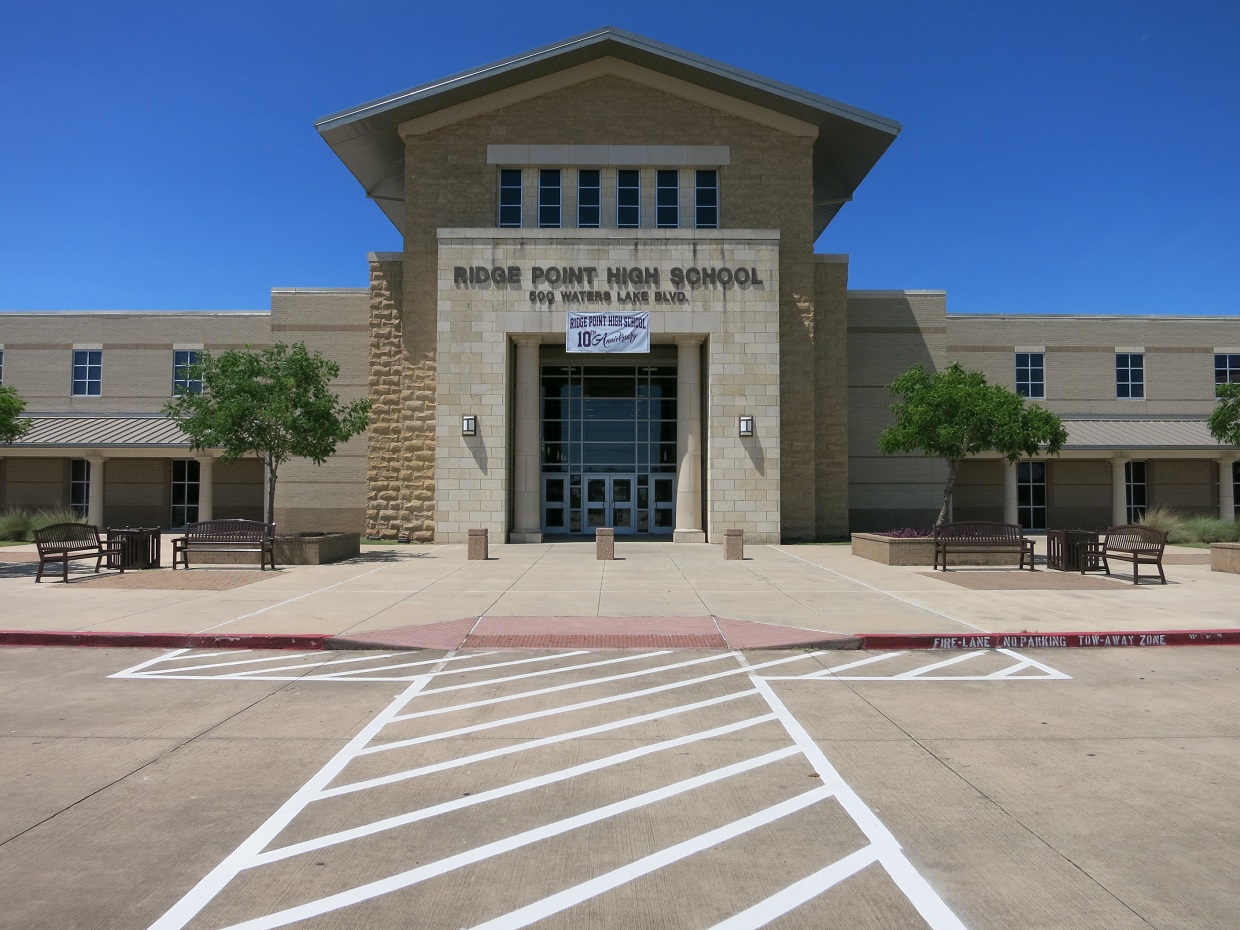
- FBISD Ridge Point High School, Djmaschek, CC BY-SA 4.0
- FBISD Leonetti Elementary, Djmaschek, CC BY-SA 4.0
- FBISD Thornton Middle School, Djmaschek, CC BY-SA 4.0
- ISS044-E-43807 - View of Earth, Earth Science and Remote Sensing Unit , Lyndon B. Johnson Space Center, Public domain
- ISS044-E-33441 - View of Earth, Earth Science and Remote Sensing Unit , Lyndon B. Johnson Space Center, Public domain
- ISS047-E-51485 - View of Earth, Earth Science and Remote Sensing Unit , Lyndon B. Johnson Space Center, Public domain
- ISS047-E-51484 - View of Earth, Earth Science and Remote Sensing Unit , Lyndon B. Johnson Space Center, Public domain
- ISS047-E-51486 - View of Earth, Earth Science and Remote Sensing Unit , Lyndon B. Johnson Space Center, Public domain
- ISS047-E-51482 - View of Earth, Earth Science and Remote Sensing Unit , Lyndon B. Johnson Space Center, Public domain
- ISS034-E-38745 - View of Earth, Earth Science and Remote Sensing Unit , Lyndon B. Johnson Space Center, Public domain
- ISS034-E-38746 - View of Earth, Earth Science and Remote Sensing Unit , Lyndon B. Johnson Space Center, Public domain
- ISS034-E-38744 - View of Earth, Earth Science and Remote Sensing Unit , Lyndon B. Johnson Space Center, Public domain
- ISS047-E-51483 - View of Earth, Earth Science and Remote Sensing Unit , Lyndon B. Johnson Space Center, Public domain
- FBISD Scanlan Oaks Elementary, Djmaschek, CC BY-SA 4.0
- FBISD Ferndell Henry Learning Center, Djmaschek, CC BY-SA 4.0
- FBISD Baines Middle School, Djmaschek, CC BY-SA 4.0
- Fresno TX Post Office, Djmaschek, CC BY-SA 4.0


Page built October 30, 2026. Spotted a mistake? Tell us or suggest a place.