

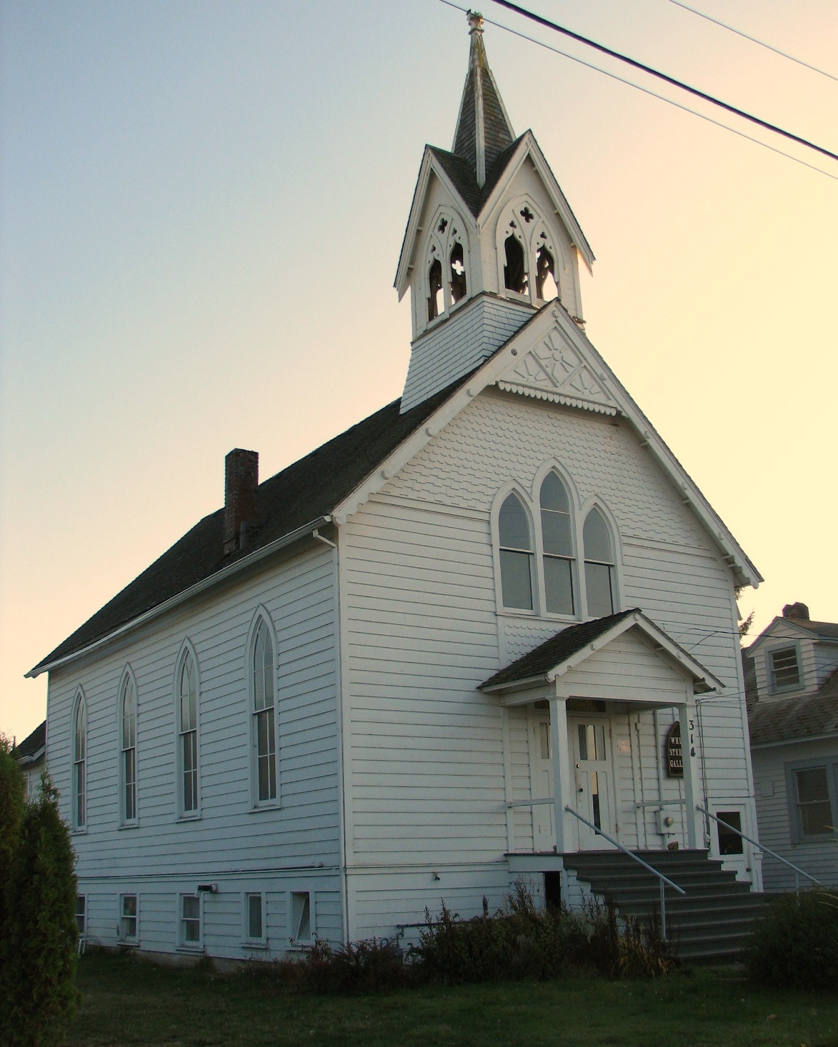


Silverton, Oregon
Silverton is a city of 10,456 people in Marion County, Oregon, founded in 1854.
Why visit Silverton
Townapedia lists 9 museums and landmarks, 8 parks and trails, 29 places to eat, 3 places to stay and 1 attraction in and around town.
Highlights include Palace Theatre, Gallon House Bridge, Gordon House and Town Square Park.
August is the warmest month, with average highs of 80°F; December lows average 35°F.
Weather in Silverton
Forecast from the National Weather Service. Full forecast
About Silverton
Silverton is a city in Marion County, Oregon, United States. The city is situated along the 45th parallel about 14 miles (23 km) northeast of Salem, in the eastern margins of the broad alluvial plain of the Willamette Valley. The city is named after Silver Creek, which flows through the town from Silver Falls into the Pudding River, and thence into the Willamette River. The community of Milford was founded in 1846 with a sawmill, store and several other buildings two miles upstream from the present location of Silverton.
From the Wikipedia article Silverton, Oregon (this version), under CC BY-SA 4.0.
Things to do1

Museums and landmarks9

Gallon House Bridge
Bridge · National Register of Historic Places · 2.2 mi
Wooden covered bridge spanning Abiqua Creek in rural Marion County, Oregon

Gordon House
Monument and historic site · National Register of Historic Places · 0.7 mi
Frank Lloyd Wright residence in Oregon

June D. Drake House
Monument and historic site · National Register of Historic Places
Building in Oregon, United States

Louis J. Adams House
Monument and historic site · National Register of Historic Places
Historic house in Oregon, United States

Miller Cemetery Church
Monument and historic site · National Register of Historic Places · 3.6 mi
Funerary church in Oregon, USA

Murton E. and Lillian DeGuire House
Monument and historic site · National Register of Historic Places · 0.4 mi
Building in Oregon, United States

Silverton Commercial Historic District
Monument and historic site
National Register of Historic Places # 87000878

Parks, trails and playgrounds8



Restaurants and cafes29

Dutch Bros. Coffee
Cafe · Coffee Shop · 0.6 mi
705 McClaine Street, Silverton
Mo-Th 05:00-22:00; Fr-Sa 05:00-23:00; Su 05:00-22:00
Silverton Coffee Station
Cafe · Coffee Shop
Th 11:00-16:00; Fr 11:00-17:00; Sa 10:00-16:00



Water Mountain Restaurant
Diner · American · 1.7 mi
1397 South Water Street, Silverton
17 more on the map.
History
The first white settlers arrived at Silver Creek in the 1800s. Two settlers, James Smith and John Barger created a sawmill along the creek in 1846. The town was originally known as Milford. In 1854, the town was abandoned and the settlers moved downstream to the current spot of Silverton. The town was first known as Silver Creek but the name was changed a year later. The town expanded and grew and was incorporated in 1885. The town now housed about 229 people. The town continued to grow until now, where it now has over 10,000 people.
From the History section of Silverton, Oregon on Wikipedia, under CC BY-SA 4.0.
Where to stay3
Churches and places of worship8
Calvary Lutheran Church and Parsonage
Church · National Register of Historic Places
Silverton Community Seventh-day Adventist Church
Church · Seventh Day Adventist · 1.0 mi
1159 Oak Street, Silverton
The Church of Jesus Christ of Latter-day Saints
Church · Latter-Day Saints · 0.6 mi
Shopping5
Gas and EV charging5
Schools, colleges and libraries18
Healthcare2
Map of Silverton
88 places. The map loads OpenStreetMap tiles when you open it.
Climate by month
Monthly table
| Month | High | Low | Rain | Snow |
|---|---|---|---|---|
| Jan | 46°F | 35°F | 6.7 in | 0.1 in |
| Feb | 50°F | 36°F | 4.9 in | 0.8 in |
| Mar | 55°F | 38°F | 5.5 in | 0.0 in |
| Apr | 60°F | 42°F | 4.2 in | 0.0 in |
| May | 66°F | 47°F | 2.9 in | 0.0 in |
| Jun | 72°F | 51°F | 1.8 in | 0.0 in |
| Jul | 80°F | 56°F | 0.4 in | 0.0 in |
| Aug | 80°F | 56°F | 0.5 in | 0.0 in |
| Sep | 74°F | 52°F | 1.7 in | 0.0 in |
| Oct | 62°F | 45°F | 4.2 in | 0.0 in |
| Nov | 52°F | 39°F | 7.0 in | 0.0 in |
| Dec | 46°F | 35°F | 7.5 in | 0.2 in |
U.S. Climate Normals 1991-2020 for Silverton (0 mi away), NOAA NCEI.
People and cost of living
American Community Survey 5-year estimates, 2020-2024, U.S. Census Bureau. Estimates have margins of error, larger for small towns.
Disaster history
Marion County has had 11 federal disaster declarations since 2000, most often for fires.
- 2023-08-24: Liberty Fire (Fire)
- 2021-05-04: Severe Winter Storm (Severe Storm)
- 2020-09-15: Wildfires And Straight-Line Winds (Fire)
- 2020-09-10: Wildfires (Fire)
- 2020-09-08: Beachie Creek Lionshead Fire Complex (Fire)
- 2020-03-28: Covid-19 Pandemic (Biological)
OpenFEMA disaster declarations summaries.
Getting there and nearby towns
Salem - Willamette Valley Airport (SLE) is the nearest airport with scheduled flights listed in OpenStreetMap, 12 miles away.
- Hayesville 10 mi west, about 15 min by car
- Four Corners 11 mi southwest, about 17 min by car
- Keizer 12 mi west, about 19 min by car
- Salem 13 mi southwest, about 21 min by car
- Molalla 14 mi northeast, about 22 min by car
- Canby 19 mi north, about 30 min by car
- Newberg 23 mi northwest, about 37 min by car
- Independence 23 mi southwest, about 37 min by car
- McMinnville 25 mi northwest, about 40 min by car
- Oregon City 25 mi north, about 40 min by car
Drive times are estimates from straight-line distance, not routes.
Local news
Headlines from INDB, the NEMICO news database.
Reviews, tips and questions
Loading what members have shared...
Sources and licences
- NCES EDGE (Public domain): public schools
- NOAA NCEI U.S. Climate Normals 1991-2020 (Public domain): climate by month
- OpenFEMA (Public domain): disaster declarations
- OpenStreetMap contributors (ODbL 1.0): places, airports, map data
- U.S. Census Bureau (Public domain): population, income, housing, education, commute
- Wikidata (CC0 1.0): elevation, founding date, time zone, website, landmarks and historic places
- Wikimedia Commons (see each image): photos
- Wikipedia (CC BY-SA 4.0): overview and history text
Photo credits
- Gallon House Bridge, Katr67, Public domain
- Calvary Lutheran Church - Silverton Oregon, Ian Poellet, CC BY-SA 3.0
- Louis J. Adams House (Silverton, Oregon) 1, Joangrayphotography, CC BY-SA 3.0
- 2012 0907 DeGuire, Joangrayphotography, CC BY-SA 3.0
- June D. Drake House, Silverton OR, Joangrayphotography, CC BY-SA 3.0
- 2012 0909 MILLER CEM, Joangray, mehamaOR, CC BY-SA 3.0
- Gordon House southeast side, Andrew Parodi at English Wikipedia, CC BY-SA 3.0
- Silverton, Oregon, October 2020 - 48, Another Believer, CC BY-SA 4.0
Page built October 30, 2026. Spotted a mistake? Tell us or suggest a place.