


Loading the weather...
Population71,284
GeoNames
RegionPhuket
Elevation15 m
49 ft
Time zoneAsia/Bangkok
Nearest airportPhuket International Airport (HKT)
27 km
Why visit Ban Ko Sire
Townapedia lists 3 museums and landmarks, 2 parks and trails, 13 places to eat, 5 places to stay and 1 attraction in and around town.
Highlights include HMS Stoic.
Weather in Ban Ko Sire
Forecast from MET Norway (CC BY 4.0). Full forecast
Photos of Ban Ko Sire


Things to do1

Museums and landmarks3


Parks, trails and playgrounds2

Restaurants and cafes13


Sirey garden coffee
Cafe · Wings, Pizza, Fries, Dessert, Cake · 1.4 km
70/2 Srisuthat road
24/7

1 more on the map.
Where to stay5
Churches and places of worship4
Gas and EV charging1
Schools, colleges and libraries2
Healthcare2
Map of Ban Ko Sire
33 places. The map loads OpenStreetMap tiles when you open it.
Getting there and nearby towns
Phuket International Airport (HKT) is the nearest airport with scheduled flights listed in OpenStreetMap, 27 km away.
- Phuket 3 km west, about 3 min by car
- Ban Talat Yai 3 km west, about 3 min by car
- Ban Ratsada 4 km northwest, about 4 min by car
- Wichit 4 km west, about 4 min by car
- Ban Talat Nua 4 km west, about 4 min by car
- Ban Ko Kaeo 6 km northwest, about 6 min by car
- Kathu 11 km west, about 11 min by car
- Ban Chalong 11 km southwest, about 11 min by car
- Patong 14 km west, about 14 min by car
- Ban Karon 15 km west, about 15 min by car
Drive times are estimates from straight-line distance, not routes.
Towns near Ban Ko Sire


Keep exploring
Local news
Headlines from INDB.
Reviews, tips and questions
Loading what members have shared...
Sources and licences
- GeoNames (CC BY 4.0): population, coordinates, regions and time zone
- Mapillary (see each image): photos
- OpenStreetMap contributors (ODbL 1.0): places, airports, map data
- Wikidata (CC0 1.0): elevation, founding date, time zone, website, landmarks and historic places
- Wikimedia Commons (see each image): photos
Photo credits
- HMS Stoic, Stewart Bale Ltd, Liverpool, Public domain
- Phi phi (1), Wolfgang Holzem, CC BY-SA 4.0
- Ratsada, Mueang Phuket District, Phuket, Thailand - panoramio (1), mohigan, CC BY-SA 3.0
- Вид из бунгало(Исм.Альберт) - panoramio, Альберт Исмаилов, CC BY 3.0
- Бунгало(Исм.Альберт) - panoramio, Альберт Исмаилов, CC BY 3.0
- Soi Tharuamai, Tambon Ratsada, Amphoe Mueang Phuket, Chang Wat Phuket 83000, Thailand - panoramio, mohigan, CC BY-SA 3.0
- Tegillarca granosa 247674740, Donald Davesne, CC BY 4.0
- Tegillarca granosa 247674757, Donald Davesne, CC BY 4.0
- Tegillarca granosa 247674754, Donald Davesne, CC BY 4.0
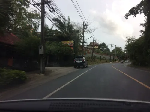
- Street-level photo, pik, CC BY-SA 4.0
- Street-level photo, pik, CC BY-SA 4.0
Page built November 10, 2026. Spotted a mistake? Tell us or suggest a place.