


Chaiyaphum, Thailand
เทศบาลเมืองชัยภูมิ
Chaiyaphum is a regional capital of 58,350 people in Chaiyaphum, Thailand.
Why visit Chaiyaphum
Townapedia lists 3 museums and landmarks, 6 parks and trails, 11 places to eat and 4 places to stay in and around town.
Highlights include Chaiyaphum Province Stadium.
Weather in Chaiyaphum
Forecast from MET Norway (CC BY 4.0). Full forecast
About Chaiyaphum
Chaiyaphum (Thai: ชัยภูมิ, pronounced [tɕʰāj.jā.pʰūːm]; Northeastern Thai: ไซยภูมิ, pronounced [sa᷇j.ɲā.pʰu᷇ːm]) is a town (thesaban mueang) in northeastern Thailand, capital of Chaiyaphum Province. As of 2015 it had a population of 58,350, and covers the full tambon Nai Mueang of Mueang Chaiyaphum District. Chaiyaphum is 337 road kilometres northeast of Bangkok.
From the Wikipedia article Chaiyaphum (this version), under CC BY-SA 4.0.
Travel tips from other travellers: Chaiyaphum on Wikivoyage (CC BY-SA 4.0).
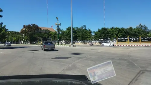
Photos of Chaiyaphum


Museums and landmarks3

Parks, trails and playgrounds6



Restaurants and cafes11




The Rosetta สาขาราชพฤกษ์
Cafe · Coffee Shop, เบเกอรี่, คาเฟ่ · 1.0 km
254 ราชพฤกษ์
Mo-Su 07:30-18:00


Where to stay4

More about Chaiyaphum
Geography
Chaiyaphum lies on the Khorat Plateau at 185 metres (607 ft) elevation. The land in the immediate vicinity of the city is flat, but the Phetchabun Mountains rise to the west.
From the Wikipedia article Chaiyaphum, under CC BY-SA 4.0.
Notable people from Chaiyaphum
 Teerapong DeehamhaeThai association football playerPhoto: El_Loko für www.thai-fussball.com, CC BY 4.0
 Jatupat Boonpattararaksahuman rights defender and activist from ThailandPhoto: This Photo was taken by Adirach..., CC BY-SA 4.0
 Tawin ButsombatThai association football playerPhoto: Lady.Melon, CC BY-SA 4.0
 Samak JalikulaThai politicianPhoto: Tranwill, Public domain
- Sutee SuksomkitThai footballer
- Pichit SitbangprachanThai boxer
- Chukiat NoosarungThai footballer
- Nattapon Malapunassociation football player
- Prasit Padungchokassociation football player
- Paitoon NontadeeThai footballer
- Decha Sa-ardchomThai footballer
- Sittipong ManaowarnThai footballer


Born in Chaiyaphum, according to Wikidata (CC0). Each name links to its Wikipedia article.
Churches and places of worship8
Shopping5
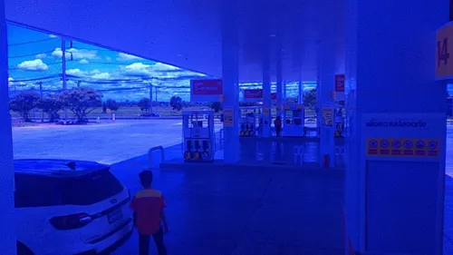
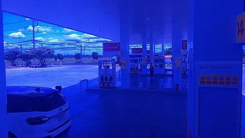
Gas and EV charging10
Schools, colleges and libraries5
Healthcare3
Map of Chaiyaphum
55 places. The map loads OpenStreetMap tiles when you open it.
Getting there and nearby towns
Nakhon Ratchasima Airport (NAK) is the nearest airport with scheduled flights listed in OpenStreetMap, 100 km away.
- Kaeng Khro 41 km northeast, about 41 min by car
- Bua Yai 49 km southeast, about 49 min by car
- Bamnet Narong 50 km southwest, about 50 min by car
- Kaset Sombun 53 km north, about 53 min by car
- Kham Sakae Saeng 55 km south, about 55 min by car
- Phon 61 km east, about 1 h by car
- Phu Khiao 64 km north, about 1 h by car
- Non Thai 69 km south, about 1 h 15 min by car
- Dan Khun Thot 72 km south, about 1 h 15 min by car
- Phimai 82 km southeast, about 1 h 15 min by car
Drive times are estimates from straight-line distance, not routes.
Keep exploring
Local news
Headlines from INDB.
Reviews, tips and questions
Loading what members have shared...
Sources and licences
- GeoNames (CC BY 4.0): population, coordinates, regions and time zone
- Mapillary (see each image): photos
- OpenStreetMap contributors (ODbL 1.0): places, airports, map data
- Wikidata (CC0 1.0): elevation, founding date, time zone, website
- Wikimedia Commons (see each image): photos
- Wikipedia (CC BY-SA 4.0): overview and history text
Photo credits
- Mecopoda elongata (Linnaeus, 1758) 70 mm Tettigoniidae (8367024242), Len Worthington, CC BY-SA 2.0
- ปางกู่ - panoramio, ::::=UT=::::, CC BY-SA 3.0
- หนองปลาเฒ่า - panoramio (1), ::::=UT=::::, CC BY-SA 3.0
- Creobroter gemmatus (Stoll, 1813) nymph (8381483607), Len Worthington, CC BY-SA 2.0
- ปรางค์กู่ชัยภูมิมุมกว้าง, Paakpoomnoywat, CC BY-SA 4.0
- ปรางค์กู่ชัยภูมิ, Paakpoomnoywat, CC BY-SA 4.0
- ศาลเจ้าพ่อพญาแล, Skaterlight2013, CC BY 4.0
- Aristobia approximator (Thomson,1865) 30mm (6127245688), Len Worthington, CC BY-SA 2.0
- หนองปลาเฒ่า - panoramio, ::::=UT=::::, CC BY-SA 3.0
- หนองปลาเฒ่า - panoramio (2), ::::=UT=::::, CC BY-SA 3.0
- Synonycha grandis Larvae (6205791981), Len Worthington, CC BY-SA 2.0
- Crescentia cujete (8390959981), Len Worthington, CC BY-SA 2.0
- Synonycha grandis (6205790813), Len Worthington, CC BY-SA 2.0
- Liara magna angulata (Ingrisch, 1998) Tettigoniidae (6197586138), Len Worthington, CC BY-SA 2.0
- Mecopoda elongata (Linnaeus, 1758) 70 mm Tettigoniidae (8367021578), Len Worthington, CC BY-SA 2.0
- Sternocera ruficornis (6127245704), Len Worthington, CC BY-SA 2.0
- Spathoglottis affinis (6115990751), Len Worthington, CC BY-SA 2.0
- Aristobia horridula (6127245706), Len Worthington, CC BY-SA 2.0
- Spathoglottis affinis (6115990755), Len Worthington, CC BY-SA 2.0
- Erianthus Sp. (6164682019), Len Worthington, CC BY-SA 2.0
- Xylotrupes gideon (Linnaeus, 1767) (6340876024), Len Worthington, CC BY-SA 2.0
- Creobroter gemmatus (Stoll, 1813) Thailand Flower Mantis (6115495427), Len Worthington, CC BY-SA 2.0
- Chondracris rosea brunneri (Uvarov, 1924) (6131807967), Len Worthington, CC BY-SA 2.0
- Liara magna angulata (Ingrisch, 1998) Tettigoniidae (6197079719), Len Worthington, CC BY-SA 2.0
- Pseudomorphacris notata (Brunner von Wattenwyl, 1893) (6131996594), Len Worthington, CC BY-SA 2.0
- Lawana conspersa Nymph (6349803974), Len Worthington, CC BY-SA 2.0
- Tainia angustifolia (6115990769), Len Worthington, CC BY-SA 2.0
- Xylotrupes gideon (Linnaeus, 1767) (6336553867), Len Worthington, CC BY-SA 2.0
- Ancyra vicina (6126606829), Len Worthington, CC BY-SA 2.0
- ISS044-E-44343 - View of Earth, Earth Science and Remote Sensing Unit , Lyndon B. Johnson Space Center, Public domain
- ISS044-E-44345 - View of Earth, Earth Science and Remote Sensing Unit , Lyndon B. Johnson Space Center, Public domain
- ISS031-E-127358 - View of Earth, Earth Science and Remote Sensing Unit , Lyndon B. Johnson Space Center, Public domain
- ISS031-E-127357 - View of Earth, Earth Science and Remote Sensing Unit , Lyndon B. Johnson Space Center, Public domain
- ISS031-E-125828 - View of Earth, Earth Science and Remote Sensing Unit , Lyndon B. Johnson Space Center, Public domain
- ISS031-E-125827 - View of Earth, Earth Science and Remote Sensing Unit , Lyndon B. Johnson Space Center, Public domain
- ISS044-E-44344 - View of Earth, Earth Science and Remote Sensing Unit , Lyndon B. Johnson Space Center, Public domain
- Phyllanthus acidus (7046719233), Len Worthington, CC BY-SA 2.0
- Street-level photo, ozflor, CC BY-SA 4.0
- Street-level photo, roadroid, CC BY-SA 4.0
- Street-level photo, ozflor, CC BY-SA 4.0
- Street-level photo, ozflor, CC BY-SA 4.0
- Street-level photo, roadroid, CC BY-SA 4.0
- Street-level photo, ozflor, CC BY-SA 4.0
- Street-level photo, ozflor, CC BY-SA 4.0
- Street-level photo, ozflor, CC BY-SA 4.0
- Street-level photo, roadroid, CC BY-SA 4.0
- Street-level photo, roadroid, CC BY-SA 4.0
- Street-level photo, roadroid, CC BY-SA 4.0
- Street-level photo, roadroid, CC BY-SA 4.0
- Street-level photo, poramet, CC BY-SA 4.0


Page built November 10, 2026. Spotted a mistake? Tell us or suggest a place.