


Krabi, Thailand
เทศบาลเมืองกระบี่
Krabi is a regional capital of 31,219 people in Krabi, Thailand.
Why visit Krabi
Townapedia lists 7 museums and landmarks, 3 parks and trails, 73 places to eat and 66 places to stay in and around town.
Highlights include Khao Khanap Nam Cave and Krabi Walking Street.
Weather in Krabi
Forecast from MET Norway (CC BY 4.0). Full forecast
About Krabi
Krabi (Thai: กระบี่, pronounced [krā.bìː]) is the capital of and main town in Krabi Province (thesaban mueang), on the west coast of southern Thailand, where the Krabi River flows into Phang Nga Bay. The town lies 650 km (400 mi) south of Bangkok, and as of 2020, has a population of 32,644. As in much of southern Thailand, the local economy centres largely on tourism.
From the Wikipedia article Krabi (this version), under CC BY-SA 4.0.
Travel tips from other travellers: Krabi on Wikivoyage (CC BY-SA 4.0).
Photos of Krabi


Museums and landmarks7




Parks, trails and playgrounds3

Restaurants and cafes73

TinGrill Restaurant
Restaurant · Steak House · 1.3 km
24 Maharaj 2 Alley
Mo-Su 11:00-24:00
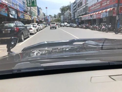
Viva Restaurant
Restaurant · Italian Pizza, Italian, International · 1.3 km
29 Pruksa Utit Road
Mo-Su 11:00-23:00
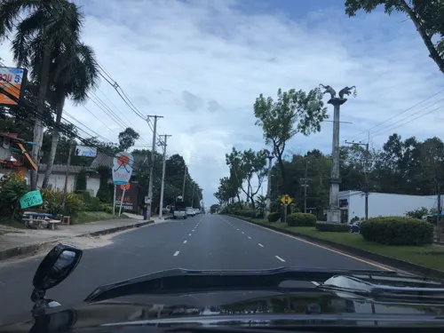
ละ-ออง-ฟอง หม่าล่า เบียร์สด
Restaurant · อาหารตามสั่ง, หมาล่า · 0.7 km
315/1 ถนนมหาราช, ตำบลปากน้ำ
15.00-00.00
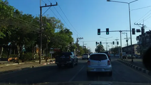
Homlinda Restaurant
Restaurant · Thai · 1.0 km
1 Phokkasaem
Fr-We 11:00-09:00
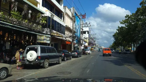
Pakarang Vintage Bookstore and Café
Cafe · Breakfast, Coffee Shop, Crepe, Ice Cream, Pancake, Tea · 1.2 km
Thanon Utrakit
Mo-Su 07:30-20:00



Baitoey Seafood Restaurant
Restaurant · Thai, Asian, Juice, Fish, Noodle · 1.9 km
78 ถนนคงคา
Mo-Su 10:00-22:00
Choojii Coffee
Cafe · 0.8 km
31 ถนนมหาราช ซอย 7
Mo-Sa 07:30-16:00
61 more on the map.
Where to stay66

54 more on the map.
History
At the start of the Rattanakosin period in the late eighteenth century, when the capital was finally settled at Bangkok, an elephant kraal was established in Krabi by order of Chao Phraya Nakhon (Noi), the governor of Nakhon Si Thammarat, which was by then a part of the Thai Kingdom. He sent his vizier, the Phra Palad, to oversee this task, which was to ensure a regular supply of elephants for the larger town. So many followers immigrated in the steps of the Phra Palad that soon Krabi had a large community in three different boroughs: Pakasai, Khlong Pon, and Pak Lao. In 1872, King Chulalongkorn elevated these to town status, called Krabi, a word that preserves in its meaning the monkey symbolism of the old standard. The town's first governor was Luang Thep Sena, though it continued for a while as a dependency of Nakhon Si Thammarat. This was changed in 1875, when Krabi was raised to a fourth-level town in the old system of Thai government. Administrators then reported directly to the central government in Bangkok, and Krabi's history as an entity separate from other provinces had begun.
From the History section of Krabi on Wikipedia, under CC BY-SA 4.0.
More about Krabi
Arts and culture
Much of the province has been given over to several national parks. Top destinations are Hat Noppharat Thara - Mu Ko Phi Phi National Park, Ao Nang, Railay, and Ko Phi Phi. The province includes over 80 smaller islands such as Ko Lanta and Phi Phi, well known to adventurers, yachtsmen, scuba-divers, snorkelers, and day-trippers from Phuket. Krabi's beaches attract both native Thai people and foreigners alike.
Ko Lanta National Park, also in Krabi Province, includes several coral-fringed islands with well-known diving sites. The largest island, Ko Lanta Yai, is the site of park headquarters, and is also home to "Chao Le", or sea gypsies, who sustain themselves largely through fishing. The islands are best visited during the drier months of October through April.
Kayaking, sailing, bird watching, snorkeling are also among top activities. In the interior, two predominantly mainland national parks, Khao Phanom Bencha National Park and Than Bokkhorani, offer inland scenic attractions including waterfalls and caves, and opportunities for trekking, bird watching, and eco-tours.
From the Wikipedia article Krabi, under CC BY-SA 4.0.
Notable people from Krabi
- Winai KraibutrThai actor (1969-2024)
- Wanlop SaechioThai footballer
- Nantawat Suankaewassociation football player
- Somkid ChamnarnsilpThai association football player
- Saddam Kietyongyuthboxer
- Phetpangan Mor.RatanabanditThai Muay Thai fighter
- Rungphet Wor RungniranThai Muay Thai kickboxer
Born in Krabi, according to Wikidata (CC0). Each name links to its Wikipedia article.
Churches and places of worship3
Shopping7
Gas and EV charging5
Schools, colleges and libraries12
Healthcare4
Map of Krabi
180 places. The map loads OpenStreetMap tiles when you open it.
Getting there and nearby towns
Krabi International Airport (KBV) is the nearest airport with scheduled flights listed in OpenStreetMap, 9 km away.
- Nuea Khlong 10 km east, about 10 min by car
- Ban Ao Nang 11 km west, about 11 min by car
- Ban Phru Nai 38 km west, about 38 min by car
- Ao Luek 40 km northwest, about 40 min by car
- Phi Phi Don 40 km south, about 40 min by car
- Chai Buri 47 km northeast, about 47 min by car
- Phuket 60 km west, about 1 h by car
- Wichit 61 km west, about 1 h by car
- Kathu 66 km west, about 1 h by car
- Patong 70 km west, about 1 h 15 min by car
Drive times are estimates from straight-line distance, not routes.
Towns near Krabi


Keep exploring
Local news
Headlines from INDB.
Reviews, tips and questions
Loading what members have shared...
Sources and licences
- GeoNames (CC BY 4.0): population, coordinates, regions and time zone
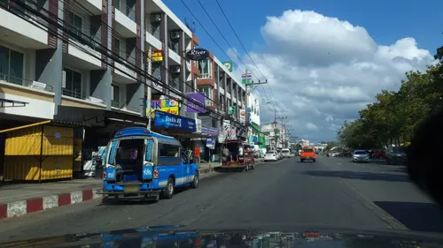
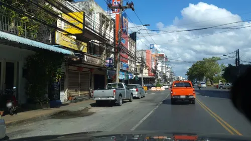
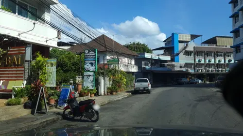
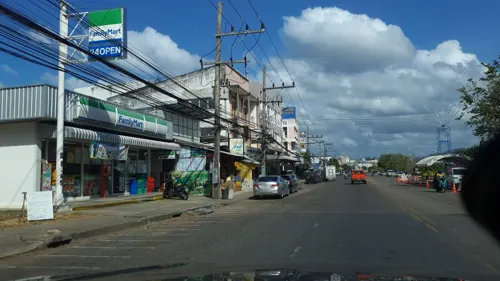
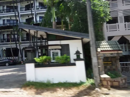
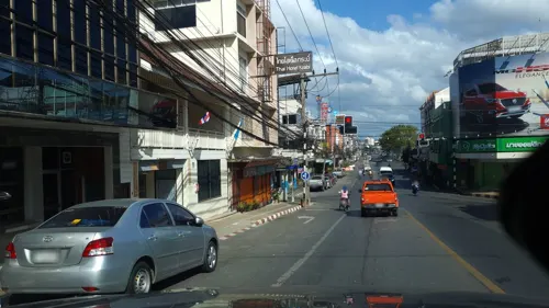
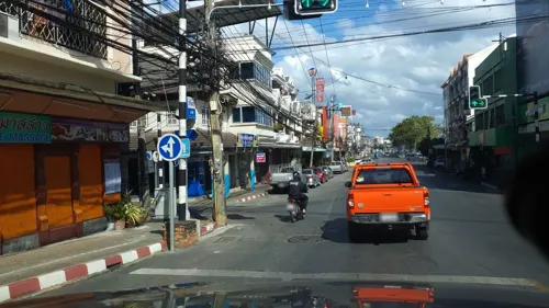
- Mapillary (see each image): photos
- OpenStreetMap contributors (ODbL 1.0): places, airports, map data
- Wikidata (CC0 1.0): elevation, founding date, time zone, website
- Wikimedia Commons (see each image): photos
- Wikipedia (CC BY-SA 4.0): overview and history text
Photo credits
- Krabi - Krabbenskulptur - 0001, Stefan Fussan, CC BY-SA 3.0
- Krabi - Chinesischer Tempel - 0002, Stefan Fussan, CC BY-SA 3.0
- Krabi - Chinesischer Tempel - 0001, Stefan Fussan, CC BY-SA 3.0
- Krabi - Andaman Cultural Centre - 0001, Stefan Fussan, CC BY-SA 3.0
- Krabi - Andaman Cultural Centre - 0002, Stefan Fussan, CC BY-SA 3.0
- Krabi - Andaman Cultural Centre - 0003, Stefan Fussan, CC BY-SA 3.0
- Krabi - Andaman Cultural Centre - 0003 retouched, Stefan Fussan, CC BY-SA 3.0
- Traffic Lighter in Krabi - panoramio (3), Владимир Е, CC BY-SA 3.0
- Krabi - Wat Pan Rat - 0003, Stefan Fussan, CC BY-SA 3.0
- Krabi - Wat Pan Rat - 0002, Stefan Fussan, CC BY-SA 3.0
- Krabi - Skulptur - 0001, Stefan Fussan, CC BY-SA 3.0
- Town Krabi - panoramio, thanongsak1851, CC BY-SA 3.0
- Krabi - Wat Pan Rat - 0001, Stefan Fussan, CC BY-SA 3.0
- Krabi - Songthaew - 0001, Stefan Fussan, CC BY-SA 3.0
- Krabi, Thailand April 2025 - Morning Market Street, Sharon Hahn Darlin, CC BY 2.0
- Traffic Lighter in Krabi - panoramio (2), Владимир Е, CC BY-SA 3.0
- Krabi - Traffic Light - 0001, Stefan Fussan, CC BY-SA 3.0
- Krabi, Thailand April 2025 - Mornig Market Fruit, Sharon Hahn Darlin, CC BY 2.0
- Traffic lights with animals in Krabi Town, Maksym Kozlenko, CC BY-SA 4.0
- Black Crab Night Market, Krabi SF0001, Stefan Fussan, CC BY-SA 4.0
- Black Crab Night Market, Krabi SF0002, Stefan Fussan, CC BY-SA 4.0
- Krabi Urban Forest 03, Christophe95, CC BY-SA 4.0
- Krabi Urban Forest 02, Christophe95, CC BY-SA 4.0
- Krabi, Thailand - Ka Dam Coffee, Sharon Hahn Darlin, CC BY 2.0
- 2016-04-09 Street food vendors in Krabi Town 01, Maksym Kozlenko, CC BY-SA 4.0
- Krabi Urban Forest, Christophe95, CC BY-SA 4.0
- Black Crab Night Market, Krabi SF0005, Stefan Fussan, CC BY-SA 4.0
- Black Crab Night Market, Krabi SF0004, Stefan Fussan, CC BY-SA 4.0
- Black Crab Night Market, Krabi SF0003, Stefan Fussan, CC BY-SA 4.0
- A Krabi Crab - panoramio, GJThomson, CC BY 3.0
- Krabi beach Elephant - panoramio, GJThomson, CC BY 3.0
- Krabi beach view - panoramio, GJThomson, CC BY 3.0
- Krabi, 2014 (february) - panoramio (84), Roma Neus, CC BY 3.0
- Krabi - South Thailand MG 9855 (14086851430), Francesco Veronesi from Italy, CC BY-SA 2.0
- Krabi - Stadtpfeiler - 0019, Stefan Fussan, CC BY-SA 3.0
- TinGrill, Krabi, Thailand SF0001, Stefan Fussan, CC BY-SA 4.0
- LungPooh Restaurant, Krabi, Thailand SF0002, Stefan Fussan, CC BY-SA 4.0
- Yentafu, Itogs, CC BY-SA 4.0
- Yen tao fu of Koaun, Itogs, CC BY-SA 4.0
- Khao Khanab Nam 3, Christophe95, CC BY-SA 4.0
- Cro-magnon Man Intersection, Christophe95, CC BY-SA 4.0
- Street-level photo, pimpitcha, CC BY-SA 4.0
- Street-level photo, pimpitcha, CC BY-SA 4.0
- Street-level photo, jrcarlsen, CC BY-SA 4.0
- Street-level photo, jrcarlsen, CC BY-SA 4.0
- Street-level photo, jrcarlsen, CC BY-SA 4.0
- Street-level photo, jrcarlsen, CC BY-SA 4.0
- Street-level photo, pimpitcha, CC BY-SA 4.0
- Street-level photo, jrcarlsen, CC BY-SA 4.0
- Street-level photo, jrcarlsen, CC BY-SA 4.0
- Street-level photo, jrcarlsen, CC BY-SA 4.0
- Street-level photo, jrcarlsen, CC BY-SA 4.0
- Street-level photo, pimpitcha, CC BY-SA 4.0
- Street-level photo, jrcarlsen, CC BY-SA 4.0
- Street-level photo, jrcarlsen, CC BY-SA 4.0
- Street-level photo, mapfool, CC BY-SA 4.0
- Street-level photo, jrcarlsen, CC BY-SA 4.0
- Street-level photo, jrcarlsen, CC BY-SA 4.0
- Street-level photo, jrcarlsen, CC BY-SA 4.0
- Street-level photo, jrcarlsen, CC BY-SA 4.0
- Street-level photo, promthak, CC BY-SA 4.0
- Street-level photo, jrcarlsen, CC BY-SA 4.0
- Street-level photo, pimpitcha, CC BY-SA 4.0
- Street-level photo, jrcarlsen, CC BY-SA 4.0


Page built November 10, 2026. Spotted a mistake? Tell us or suggest a place.