


Loei, Thailand
เทศบาลเมืองเลย
Loei is a regional capital of 35,273 people in Loei, Thailand.
Why visit Loei
Townapedia lists 1 park or trail, 21 places to eat, 26 places to stay and 1 attraction in and around town.
Weather in Loei
Forecast from MET Norway (CC BY 4.0). Full forecast
About Loei
Loei (Thai: เลย; pronounced [lɤ̄ːj]) is a town (thesaban mueang) in northeast Thailand. Loei covers the whole tambon of Mueang Loei district and is the capital of Loei province. In 2017, Loei had a population of 21,013. Loei lies 545 km north-northeast of Bangkok, 150 km west of Udon Thani.
From the Wikipedia article Loei (this version), under CC BY-SA 4.0.
Travel tips from other travellers: Loei on Wikivoyage (CC BY-SA 4.0).
Things to do1

Parks, trails and playgrounds1

Restaurants and cafes21
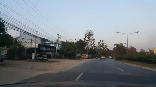
BanThaPae Cafe & Bistro
Cafe · Coffee Shop · 2.3 km
144/14 เลย-ด่านซ้าย, เมืองเลย
Mo-Su 07:00-23:00
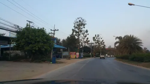
ร้านอาหารบ้านท่าแพ
Restaurant · Thai, Regional · 2.2 km
144/14 เลย-ด่านซ้าย, เมืองเลย
Mo-Su 07:00-23:00
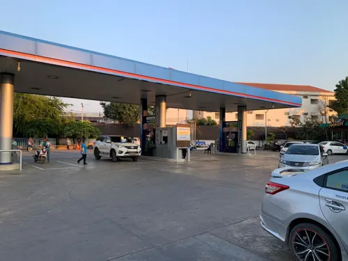




Brewnest Coffee
Cafe · Coffee Shop, Tea · 1.3 km
Mo-Sa 07:00-16:00; Su 08:00-16:00

9 more on the map.
Where to stay26

ชมจันทร์ลิฟวิ่ง
Motel and hotel · 2.3 km
666หมู่5. ต. เมือง. อ. เมือง. จ. เลย. 42000
14 more on the map.
More about Loei
Geography
Loei is in the fertile valley of the Loei River, which runs from south to north through the eastern part of the town. A range of hills lies to the east, including Phu Bo Bit Forest Park, about 3 kilometres (1.9 mi) from the town centre.
From the Wikipedia article Loei, under CC BY-SA 4.0.
Notable people from Loei
- Thossawat LimwannasathianThai footballer
- Pinyo InpinitThai footballer
- Sarawut KanlayanabanditThai footballer
- Ratchanon PhangkaewThai footballer
- Surachart SareepimThai footballer
- Panupong PhonsaThai association football player
- Yuthlert SippapakThai film director
- Wattanasap JarernsriThai footballer
- Sakhorn KhanthasitThai wheel chair tennis player
- Jirawat KaewboranThai footballer
- Suttinan NonteeThai footballer
- Jatupong ThongsukhThai footballer
Born in Loei, according to Wikidata (CC0). Each name links to its Wikipedia article.
Churches and places of worship2
Shopping5
Gas and EV charging7
Schools, colleges and libraries6
Healthcare1
Map of Loei
70 places. The map loads OpenStreetMap tiles when you open it.
Getting there and nearby towns
Loei Airport (LOE) is the nearest airport with scheduled flights listed in OpenStreetMap, 5 km away.
- Wang Saphung 22 km south, about 22 min by car
- Erawan 32 km southeast, about 32 min by car
- Na Klang 53 km southeast, about 53 min by car
- Nam Som 58 km northeast, about 58 min by car
- Phu Kradueng 69 km south, about 1 h 15 min by car
- Ban I Loet 75 km southwest, about 1 h 15 min by car
- Nong Bua Lamphu 82 km southeast, about 1 h 15 min by car
- Si Bun Rueang 82 km southeast, about 1 h 15 min by car
- Sangkhom 86 km northeast, about 1 h 30 min by car
- Kut Chap 89 km east, about 1 h 30 min by car
Drive times are estimates from straight-line distance, not routes.
Keep exploring
Local news
Headlines from INDB.
Reviews, tips and questions
Loading what members have shared...
Sources and licences
- GeoNames (CC BY 4.0): population, coordinates, regions and time zone
- Mapillary (see each image): photos
- OpenStreetMap contributors (ODbL 1.0): places, airports, map data
- Wikidata (CC0 1.0): elevation, founding date, time zone, website
- Wikimedia Commons (see each image): photos
- Wikipedia (CC BY-SA 4.0): overview and history text
Photo credits
- Loei Bus Terminal 2, Christophe95, CC BY-SA 4.0
- Loei Bus Terminal 1, Christophe95, CC BY-SA 4.0
- Street-level photo, jrcarlsen, CC BY-SA 4.0
- Street-level photo, jrcarlsen, CC BY-SA 4.0
- Street-level photo, balthus_mc, CC BY-SA 4.0
- Street-level photo, jrcarlsen, CC BY-SA 4.0
- Street-level photo, balthus_mc, CC BY-SA 4.0
- Street-level photo, jrcarlsen, CC BY-SA 4.0
Page built November 10, 2026. Spotted a mistake? Tell us or suggest a place.