


Narathiwat, Thailand
เทศบาลเมืองนราธิวาส
Narathiwat is a regional capital of 47,771 people in Narathiwat, Thailand, founded in November 29, 1936.
Why visit Narathiwat
Townapedia lists 3 museums and landmarks, 4 parks and trails, 19 places to eat, 4 places to stay and 1 attraction in and around town.
Highlights include Narathat Beach.
Weather in Narathiwat
Forecast from MET Norway (CC BY 4.0). Full forecast
About Narathiwat
Narathiwat (Thai: นราธิวาส, pronounced [nā.rāː.tʰí.wâːt]) is a town (thesaban mueang) in southern Thailand and capital of Narathiwat Province. The town is in the Mueang Narathiwat District and was established in 1936. As of 2008, the population was 40,521. It lies 1,141 km south of Bangkok.
From the Wikipedia article Narathiwat (this version), under CC BY-SA 4.0.
Travel tips from other travellers: Narathiwat on Wikivoyage (CC BY-SA 4.0).
Things to do1

Museums and landmarks3
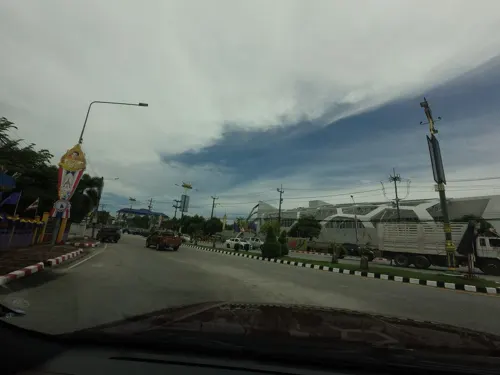

Parks, trails and playgrounds4
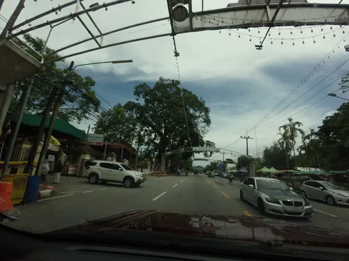


Restaurants and cafes19
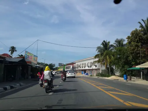
ก๋วยเตี๋ยว ป.ประทีพ ฮาลาล
Restaurant · 1.5 km
PH,Mo-Su 10:30-20:30
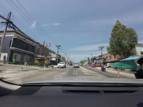

Rhythm Factory
Cafe · Coffee Shop · 2.9 km
225/2 โคกเคียน
11:00-23:00

7 more on the map.
More about Narathiwat
Geography
Narathiwat is on the east coast of the Malay Peninsula, by the Gulf of Thailand. The Bang Nara River flows through the town. The immediate vicinity of the town is flat or gently rolling, but there are hills both to the west and south.
From the Wikipedia article Narathiwat, under CC BY-SA 4.0.
Notable people from Narathiwat
- Airfan DolohThai association football player
- Sukree Etaefootballer
- Sarawut KambuaThai footballer
- Alef Poh-jiThai footballer
- Assaming MaeThai footballer
- Salahudin ArwareThai footballer
- Wanasthana SajakulThai football manager
Born in Narathiwat, according to Wikidata (CC0). Each name links to its Wikipedia article.
Where to stay4
Churches and places of worship7
Shopping1
Gas and EV charging3
Schools, colleges and libraries11
Map of Narathiwat
53 places. The map loads OpenStreetMap tiles when you open it.
Getting there and nearby towns
Narathiwat Airport (NAW) is the nearest airport with scheduled flights listed in OpenStreetMap, 13 km away.
- Ra-ngae 18 km southwest, about 18 min by car
- Tak Bai 32 km southeast, about 32 min by car
- Sai Buri 38 km northwest, about 38 min by car
- Ban Su-ngai Pa Di 40 km south, about 40 min by car
- Ban I Sing 40 km west, about 40 min by car
- Su-ngai Kolok 47 km south, about 47 min by car
- Yala 61 km west, about 1 h by car
- Yaring 70 km northwest, about 1 h 15 min by car
- Pattani 80 km northwest, about 1 h 15 min by car
- Nong Chik 85 km northwest, about 1 h 30 min by car
Drive times are estimates from straight-line distance, not routes.
Towns near Narathiwat


Keep exploring
Local news
Headlines from INDB.
Reviews, tips and questions
Loading what members have shared...
Sources and licences
- GeoNames (CC BY 4.0): population, coordinates, regions and time zone
- Mapillary (see each image): photos
- OpenStreetMap contributors (ODbL 1.0): places, airports, map data
- Wikidata (CC0 1.0): elevation, founding date, time zone, website, landmarks and historic places
- Wikimedia Commons (see each image): photos
- Wikipedia (CC BY-SA 4.0): overview and history text
Photo credits
- Bang Nak, Mueang Narathiwat District, Narathiwat 96000, Thailand - panoramio, กิตติ เลขะกุล, CC BY 3.0
- Kaluwo Nuea, Mueang Narathiwat District, Narathiwat 96000, Thailand - panoramio, กิตติ เลขะกุล, CC BY 3.0
- Kaluwo Nuea, Mueang Narathiwat District, Narathiwat 96000, Thailand - panoramio (1), กิตติ เลขะกุล, CC BY 3.0
- หาดนราทัศน์, EricEyeView, CC BY-SA 4.0
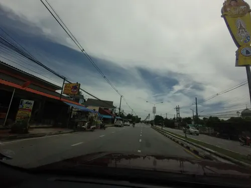
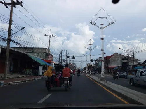
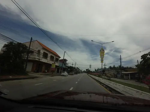
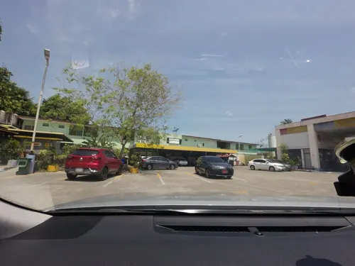
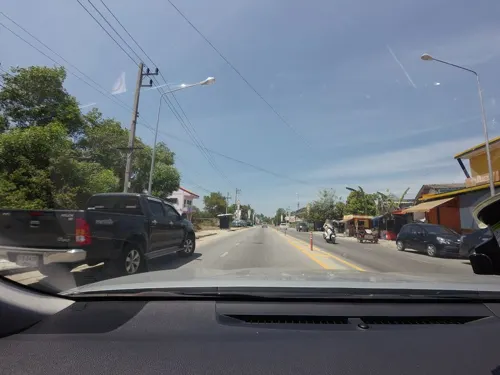
- Street-level photo, mishari, CC BY-SA 4.0
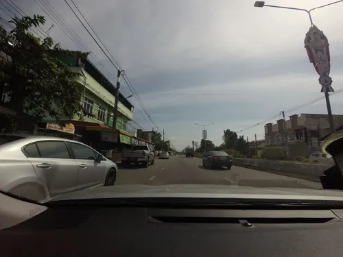
- Street-level photo, mishari, CC BY-SA 4.0
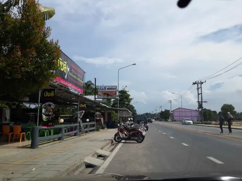
- Street-level photo, mishari, CC BY-SA 4.0
- Street-level photo, mishari, CC BY-SA 4.0
- Street-level photo, mishari, CC BY-SA 4.0
- Street-level photo, mishari, CC BY-SA 4.0
- Street-level photo, mishari, CC BY-SA 4.0
- Street-level photo, mishari, CC BY-SA 4.0
- Street-level photo, mishari, CC BY-SA 4.0
- Street-level photo, mishari, CC BY-SA 4.0
- Street-level photo, mishari, CC BY-SA 4.0
- Street-level photo, mishari, CC BY-SA 4.0
- Street-level photo, mishari, CC BY-SA 4.0
- Street-level photo, mishari, CC BY-SA 4.0
- Street-level photo, mishari, CC BY-SA 4.0
- Street-level photo, mishari, CC BY-SA 4.0
- Street-level photo, mishari, CC BY-SA 4.0
- Street-level photo, mishari, CC BY-SA 4.0
- Street-level photo, mishari, CC BY-SA 4.0
- Street-level photo, mishari, CC BY-SA 4.0
- Street-level photo, mishari, CC BY-SA 4.0
- Street-level photo, mishari, CC BY-SA 4.0
Page built November 10, 2026. Spotted a mistake? Tell us or suggest a place.