


Ranong, Thailand
เทศบาลเมืองระนอง
Ranong is a regional capital of 24,561 people in Ranong province, Thailand, founded in March 14, 1937.
Why visit Ranong
Townapedia lists 4 museums and landmarks, 3 parks and trails, 48 places to eat and 32 places to stay in and around town.
Highlights include Rattana Rangsarn Palace.
Weather in Ranong
Forecast from MET Norway (CC BY 4.0). Full forecast
About Ranong
Ranong (Thai: ระนอง) is a town (thesaban mueang) in southern Thailand, capital of the Ranong Province and the Mueang Ranong District. The town covers completely the area of the tambon Khao Niwet (เขานิเวศน์). As of 2024, it had a population of 16,909. Ranong lies 586 kilometres (364 mi) south-southwest of Bangkok by road.
From the Wikipedia article Ranong (this version), under CC BY-SA 4.0.
Travel tips from other travellers: Ranong on Wikivoyage (CC BY-SA 4.0).
Photos of Ranong


Museums and landmarks4

Parks, trails and playgrounds3


Restaurants and cafes48

ร้านคลีน Zapp
Restaurant · Salad, Sandwich, อาหารคลีนเพื่อสุขภาพ, อาหารเจ มังสวีรัติ, ครัวไทย อาหารตามสั่ง, ครัวฮาลาล, รับจัดเบรค, รับทำข้าวกล่อง · 1.0 km
บ้านเลขที่ 8 ถนน ผาดาด
Open every day

AGUST Slow Brew
Cafe · Coffee Shop · 1.1 km
7/5 ถนนผาดาด
Mo-Sa 08:00-16:00
Sunny Side Up
Restaurant · Sandwich, Regional, Breakfast, Crepe, Sausage, Coffee Shop, Pasta, Noodles, Chicken, German
Mo-Sa 07:00-20:00; Su 07:00-14:00

36 more on the map.
Where to stay32
@ Savika
Motel and hotel
Hostel dorms and private rooms with private bathroom and balcony.



20 more on the map.
History
On 14 March 1936 Ranong sanitary district was elevated to subdistrict municipality.
From the History section of Ranong on Wikipedia, under CC BY-SA 4.0.
More about Ranong
Geography
Ranong is on the estuary of the Pak Chan (or Kraburi) River, opposite Myanmar's Kawthaung (formerly Victoria Point). The Tenasserim Hills rise directly to the east of Ranong, and another small ridge runs along the edge of the estuary to the town's north. Neighboring subdistricts are (from north clockwise) Bang Non, Hat Som Paen, Bang Rin and Pak Nam.
From the Wikipedia article Ranong, under CC BY-SA 4.0.
Notable people from Ranong
 Wongravee NateetornThai television actor (born 1998)Photo: Yyt15, CC BY 4.0
- Pratum ChuthongThai footballer
- Jirawat SornwichianThai futsal player
- Rungkit Wor.SanprapaiMuay Thai fighter (b. 2002)

Born in Ranong, according to Wikidata (CC0). Each name links to its Wikipedia article.
Churches and places of worship6
Shopping4
Gas and EV charging3
Schools, colleges and libraries7
Healthcare3
Map of Ranong
110 places. The map loads OpenStreetMap tiles when you open it.
Getting there and nearby towns
Ranong Airport (UNN) is the nearest airport with scheduled flights listed in OpenStreetMap, 22 km away.
- Ban Nam Yuen 27 km east, about 27 min by car
- Lang Suan 49 km east, about 49 min by car
- Ban I Let 81 km northeast, about 1 h 15 min by car
- Chumphon 84 km northeast, about 1 h 30 min by car
- Chaiya 89 km southeast, about 1 h 30 min by car
Drive times are estimates from straight-line distance, not routes.
Keep exploring
Local news
Headlines from INDB.
Reviews, tips and questions
Loading what members have shared...
Sources and licences
- GeoNames (CC BY 4.0): population, coordinates, regions and time zone
- Mapillary (see each image): photos
- OpenStreetMap contributors (ODbL 1.0): places, airports, map data
- Wikidata (CC0 1.0): elevation, founding date, time zone, website
- Wikimedia Commons (see each image): photos
- Wikipedia (CC BY-SA 4.0): overview and history text
Photo credits
- Ranong 98.60435E 9.94922N, NASA, Public domain
- สวนในเมืองระนอง Ranong Garden - panoramio, ::::=UT=::::, CC BY-SA 3.0
- ยามเช้าที่ตลาดระนอง , Ranong market - panoramio, ::::=UT=::::, CC BY-SA 3.0
- ตลาดเก่าระนอง-Ranong Market - panoramio, ::::=UT=::::, CC BY-SA 3.0
- Khao Niwet, Mueang Ranong District, Ranong 85000, Thailand - panoramio (1), Mozhar, CC BY-SA 3.0
- Khao Niwet, Mueang Ranong District, Ranong 85000, Thailand - panoramio, Mozhar, CC BY-SA 3.0
- Bang Non, Mueang Ranong District, Ranong 85000, Thailand - panoramio (1), Mozhar, CC BY-SA 3.0
- Khao Niwet, Mueang Ranong District, Ranong 85000, Thailand - panoramio (3), ::::=UT=::::, CC BY-SA 3.0
- Bang Non, Mueang Ranong District, Ranong 85000, Thailand - panoramio (2), Mozhar, CC BY-SA 3.0
- Khao Niwet, Mueang Ranong District, Ranong 85000, Thailand - panoramio (2), Dirk Enthoven, CC BY 3.0
- Hot water springs ranong - panoramio, Dirk Enthoven, CC BY 3.0
- Bang Rin, Mueang Ranong District, Ranong 85000, Thailand - panoramio (5), ::::=UT=::::, CC BY-SA 3.0
- Bang Rin, Mueang Ranong District, Ranong 85000, Thailand - panoramio (1), ::::=UT=::::, CC BY-SA 3.0
- Bang Rin, Mueang Ranong District, Ranong 85000, Thailand - panoramio (4), ::::=UT=::::, CC BY-SA 3.0
- Bang Rin, Mueang Ranong District, Ranong 85000, Thailand - panoramio (2), ::::=UT=::::, CC BY-SA 3.0
- Bang Rin, Mueang Ranong District, Ranong 85000, Thailand - panoramio (3), ::::=UT=::::, CC BY-SA 3.0
- วัดสุวรรณคีรีวิหาร ( วัดหน้าเมือง) ระนอง, KOSIN SUKHUM, CC BY-SA 4.0
- ศาลเจ้า - panoramio, ::::=UT=::::, CC BY-SA 3.0
- ยามเช้าที่ตลาดระนอง - panoramio, ::::=UT=::::, CC BY-SA 3.0
- เจ้าเมืองระนอง - panoramio, ::::=UT=::::, CC BY-SA 3.0
- กำแพงจวนเจ้าเมืองระนอง, Paakpoomnoywat, CC BY-SA 4.0
- พระที่นั่งรัตนรังสรรค์, KOSIN SUKHUM, CC BY-SA 4.0
- สุสานเจ้าเมืองระนอง, Paakpoomnoywat, CC BY-SA 4.0
- ลานคอนกรีตร้อน(ข้างใต้มีน้ำร้อนไหลเวียน) - panoramio, ::::=UT=::::, CC BY-SA 3.0
- บ่อน้ำพุ(บ่อพ่อ) - panoramio, ::::=UT=::::, CC BY-SA 3.0
- ลำธารใกล้บ่อน้ำพุร้อน - panoramio, ::::=UT=::::, CC BY-SA 3.0
- หุบเขาที่ระนอง - panoramio, ::::=UT=::::, CC BY-SA 3.0
- สุสานเจ้าเมืองระนอง2 - panoramio, ::::=UT=::::, CC BY-SA 3.0
- สุสานเจ้าเมืองระนอง - panoramio, ::::=UT=::::, CC BY-SA 3.0
- สุสานเจ้าเมืองระนอง4 - panoramio, ::::=UT=::::, CC BY-SA 3.0
- สุสานเจ้าเมืองระนอง3 - panoramio, ::::=UT=::::, CC BY-SA 3.0
- ธารน้ำขาวขุ่นหลังที่พัก - panoramio, ::::=UT=::::, CC BY-SA 3.0
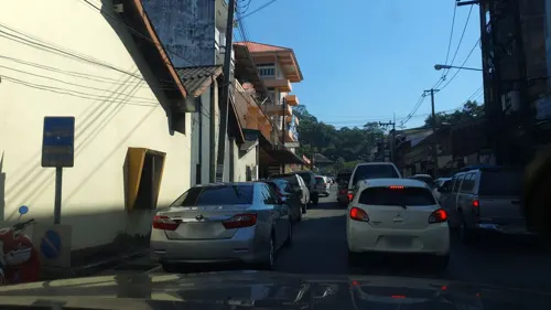
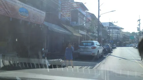
- Street-level photo, jrcarlsen, CC BY-SA 4.0
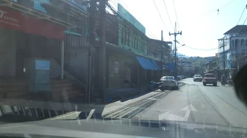
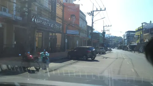
- Street-level photo, jrcarlsen, CC BY-SA 4.0
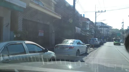
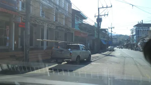
- Street-level photo, jrcarlsen, CC BY-SA 4.0
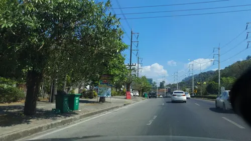
- Street-level photo, jrcarlsen, CC BY-SA 4.0
- Street-level photo, jrcarlsen, CC BY-SA 4.0
- Street-level photo, jrcarlsen, CC BY-SA 4.0
- Street-level photo, jrcarlsen, CC BY-SA 4.0
- Street-level photo, jrcarlsen, CC BY-SA 4.0
- Street-level photo, jrcarlsen, CC BY-SA 4.0
- Street-level photo, jrcarlsen, CC BY-SA 4.0
- Street-level photo, jrcarlsen, CC BY-SA 4.0
- Street-level photo, jrcarlsen, CC BY-SA 4.0


Page built November 10, 2026. Spotted a mistake? Tell us or suggest a place.