


Sukhothai, Thailand
เทศบาลเมืองสุโขทัยธานี
Sukhothai is a regional capital of 37,000 people in Sukhothai, Thailand.
Why visit Sukhothai
Townapedia lists 1 museum or landmark, 7 parks and trails, 64 places to eat and 40 places to stay in and around town.
Highlights include Thalay Luang Stadium and Thung Thale Luang.
Weather in Sukhothai
Forecast from MET Norway (CC BY 4.0). Full forecast
About Sukhothai
Sukhothai Thani (Thai: สุโขทัยธานี, pronounced [sù.kʰǒː.tʰāj tʰāː.nīː]) is a small town about 427 km (265 mi) north of Bangkok on the Yom River, a tributary of the Chao Phraya River. It has a population of about 37,000. The town lies about 12 km (7.5 mi) east of the historic city of Sukhothai, the former capital of the first Thai kingdom, usually called the Sukhothai Kingdom. As a result, the modern town is sometimes referred to as 'New Sukhothai'.
From the Wikipedia article Sukhothai Thani (this version), under CC BY-SA 4.0.
Travel tips from other travellers: Sukhothai on Wikivoyage (CC BY-SA 4.0).
Photos of Sukhothai


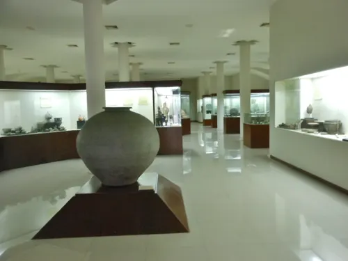
Museums and landmarks1
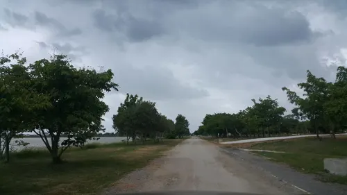
Parks, trails and playgrounds7


Restaurants and cafes64
Say hi ‘s kitchen @ sukhithai
Restaurant · Coffee Shop, Tea, Thai · 1.7 km
ถนนบายพาส(เลี่ยงเมือง)
Mo-Su 10:30-22:00
Jay Pao's Kitchen
Restaurant · Thai · 1.7 km
99/10 ถนนบายพาส(เลี่ยงเมือง)
Ming Zhen Vegetarian Restaurant
Restaurant · 1.3 km
Mo-Sa 09:00-15:00

ธัญญ์ อาหารเพื่อสุขภาพ
Restaurant · Thai, อาหารเพื่อสุขภาพ, อาหาคลีน · 0.7 km
49/5 บาลเมือง
Mo-Su 10:30-18:30
BAAN KRU IW
Restaurant · Coffee Shop, Noodles, Tea, Thai · 0.8 km
ถนนวิเชียรจำนงค์

Cafe' De Tree
Cafe · Italian, Diner, Tea, Cake, Thai, Coffee Shop · 2.3 km
Mo-Su 08:00-21:00
52 more on the map.
Where to stay40



4T Guest House
Motel and hotel · 0.9 km
Budget guest house with rooms, bungalows and a pool. Bungalows about 800 THB with Aircon and Bathroom. Motorbike rental
122 Soi Mae Ramphan, Sukhothai
Rueng Sri Siri Guesthouse
Motel and hotel · 1.4 km
Guesthouse with simple airconditioned rooms with private bathroom. Very close to the busstation. Free wifi and free parking. It is a 15...
118/20 Moo 1, T. Pakhwai, A. Muang
Sabaidee Guesthouse
Motel and hotel · 1.9 km
81/7 Moo 13 Charodwithithong Rd, Sukhothai
28 more on the map.
History
Sukhothai Thani Town Municipality was established in 1937 under the Royal Decree establishing Sukhothai Thani Town Municipality in Sawankhalok province. The establishment was proclaimed on 11 March 1937, with the municipal area located in Thani Subdistrict, Mueang Sukhothai District, Sawankhalok Province. In 1939, Sawankhalok Province was renamed Sukhothai province, which remains its name to the present day.
From the History section of Sukhothai Thani on Wikipedia, under CC BY-SA 4.0.
More about Sukhothai
Geography
The municipality is located in the upper central region of Thailand, near the centre of Mueang Sukhothai district. It lies about 440 km (270 mi) from Bangkok via National Highway 101.
North: Pak Khwae Subdistrict Administrative Organization, Pak Khwae Subdistrict, Mueang Sukhothai district
South: Yang Sai Subdistrict Administrative Organization, Yang Sai Subdistrict, Mueang Sukhothai district
East: Ban Lum Subdistrict Administrative Organization, Ban Lum Subdistrict, Mueang Sukhothai district
West: Ban Kluai Subdistrict Municipality, Ban Kluai Subdistrict, Mueang Sukhothai district
From the Wikipedia article Sukhothai Thani, under CC BY-SA 4.0.
Notable people from Sukhothai
- Nudnida LuangnamThai female tennis player
- Chatchai Narkwijitfootballer
Born in Sukhothai, according to Wikidata (CC0). Each name links to its Wikipedia article.
Churches and places of worship26
Shopping8
Gas and EV charging14
Schools, colleges and libraries36
Healthcare5
Map of Sukhothai
201 places. The map loads OpenStreetMap tiles when you open it.
Getting there and nearby towns
Sukhothai Airport (THS) is the nearest airport with scheduled flights listed in OpenStreetMap, 25 km away.
- Ban Na 10 km west, about 10 min by car
- Khiri Mat 20 km south, about 20 min by car
- Ban Dan Lan Hoi 26 km west, about 26 min by car
- Sawankhalok 34 km north, about 34 min by car
- Bang Rakam 42 km southeast, about 42 min by car
- Lan Krabue 45 km south, about 45 min by car
- Phitsanulok 51 km southeast, about 51 min by car
- Ban Aranyik 53 km east, about 53 min by car
- Si Satchanalai 57 km north, about 57 min by car
- Kamphaeng Phet 67 km southwest, about 1 h by car
Drive times are estimates from straight-line distance, not routes.
Keep exploring
Local news
Headlines from INDB.
Reviews, tips and questions
Loading what members have shared...
Sources and licences
- GeoNames (CC BY 4.0): population, coordinates, regions and time zone
- Mapillary (see each image): photos
- OpenStreetMap contributors (ODbL 1.0): places, airports, map data
- Openverse (see each image): photos
- Wikidata (CC0 1.0): elevation, founding date, time zone, website
- Wikimedia Commons (see each image): photos
- Wikipedia (CC BY-SA 4.0): overview and history text
Photo credits
- Tuk-tuk in Sukhothai 02, Ilya Plekhanov, CC BY-SA 3.0
- Market in Sukhothai New Town, Ninaras, CC BY 4.0
- Market in Sukhothai, Ninaras, CC BY 4.0
- 201401021415b (Hartmann Linge) Sukhothai Kamphaeng Ngam, Hartmann Linge, CC BY-SA 4.0
- 201312281331a (Hartmann Linge) Sukhothai Rachathanee, Hartmann Linge, CC BY-SA 4.0
- วัดศรีสังวร ตำบลทับผึ้ง อำเภอศรีสำโรง (2026) - img 02, Chainwit., CC BY 4.0
- 201401010924c (Hartmann Linge) Sukhothai Thai Chomphon, Hartmann Linge, CC BY-SA 4.0
- Thung Thalay Luang Stadium 2016, www.thai-fussball.com, CC BY 3.0
- Sukhothai Hospital from road โรงพยาบาลสุโขทัย มองจากถนนด้านหน้าโรงพยาบาล (2025) - img 01, Chainwit., CC BY 4.0
- วัดศรีสังวร ตำบลทับผึ้ง อำเภอศรีสำโรง (2026) - img 01, Chainwit., CC BY 4.0
- Phra Mae Ya Shrine - ศาลพระแม่ย่า (2026) - interior img 06, Chainwit., CC BY 4.0
- PHRA MAEYA SHRINE A KINEREE IN SOUTH POND - panoramio, Kasom SKULTAB, CC BY-SA 3.0
- Phra Mae Ya Shrine - ศาลพระแม่ย่า (2026) - exterior img 14, Chainwit., CC BY 4.0
- PHRA MAEYA SHRINE WELL CARVED WINDOWS ALL AROUND - panoramio, Kasom SKULTAB, CC BY-SA 3.0
- PHRA MAEYA SHRINE HER HISTORICAL DETAILS INSIDE THE SHRINE - panoramio, Kasom SKULTAB, CC BY-SA 3.0
- Phra Mae Ya Shrine - ศาลพระแม่ย่า (2026) - exterior img 15, Chainwit., CC BY 4.0
- BUDDHA IMAGES BEHIND PHRA MAEYA SHRINE - panoramio, Kasom SKULTAB, CC BY-SA 3.0
- Phra Mae Ya Shrine - ศาลพระแม่ย่า (2026) - interior img 13, Chainwit., CC BY 4.0
- Phra Mae Ya Shrine - ศาลพระแม่ย่า (2026) - interior img 12, Chainwit., CC BY 4.0
- Phra Mae Ya Shrine - ศาลพระแม่ย่า (2026) - exterior img 11, Chainwit., CC BY 4.0
- Phra Mae Ya Shrine - ศาลพระแม่ย่า (2026) - exterior img 13, Chainwit., CC BY 4.0
- Phra Mae Ya Shrine - ศาลพระแม่ย่า (2026) - exterior img 12, Chainwit., CC BY 4.0
- Phra Mae Ya Shrine - ศาลพระแม่ย่า (2026) - exterior img 10, Chainwit., CC BY 4.0
- Phra Mae Ya Shrine - ศาลพระแม่ย่า (2026) - exterior img 03, Chainwit., CC BY 4.0
- Phra Mae Ya Shrine - ศาลพระแม่ย่า (2026) - interior img 11, Chainwit., CC BY 4.0
- PHRA MAEYA SHRINE HER STATUE - panoramio, Kasom SKULTAB, CC BY-SA 3.0
- PHRA MAEYA SHRINE SOUTHWEST VIEW - panoramio (1), Kasom SKULTAB, CC BY-SA 3.0
- PHRA MAEYA SHRINE ENTRANCE ON THE SOUTH WITH 2 REPLICAS OF PHRA MAEYA - panoramio, Kasom SKULTAB, CC BY-SA 3.0
- A STANDING BUDDHA IMAGE BEHIND PHRA MAEYA SHRINE - panoramio (1), Kasom SKULTAB, CC BY-SA 3.0
- PHRA MAEYA SHRINE SOUTHWEST VIEW - panoramio, Kasom SKULTAB, CC BY-SA 3.0
- A STANDING BUDDHA IMAGE BEHIND PHRA MAEYA SHRINE - panoramio, Kasom SKULTAB, CC BY-SA 3.0
- PHRA MAEYA SHRINE 2 REPLICAS OF PHRA MAEYA IN FRONT OF MAIN ENTRANCE - panoramio, Kasom SKULTAB, CC BY-SA 3.0
- Phra Mae Ya Shrine - ศาลพระแม่ย่า (2026) - interior img 02, Chainwit., CC BY 4.0
- COLLECTION OF BUDDHA IMAGES BEHIND PHRA MAEYA SHRINE - panoramio (1), Kasom SKULTAB, CC BY-SA 3.0
- Phra Mae Ya Shrine - ศาลพระแม่ย่า (2026) - exterior img 04, Chainwit., CC BY 4.0
- Phra Mae Ya Shrine - ศาลพระแม่ย่า (2026) - exterior img 05, Chainwit., CC BY 4.0
- Phra Mae Ya Shrine - ศาลพระแม่ย่า (2026) - interior img 15, Chainwit., CC BY 4.0
- Phra Mae Ya Shrine - ศาลพระแม่ย่า (2026) - interior img 03, Chainwit., CC BY 4.0
- PHRA MAEYA SHRINE DEDICATED FLOWERS - panoramio, Kasom SKULTAB, CC BY-SA 3.0
- Phra Mae Ya Shrine - ศาลพระแม่ย่า (2026) - interior img 14, Chainwit., CC BY 4.0
- Sangkhalok Museum, mikecogh, CC BY-SA 2.0
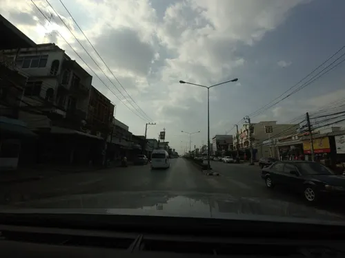
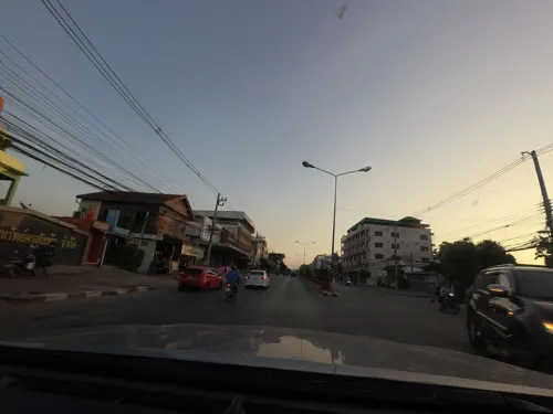
- Street-level photo, jrcarlsen, CC BY-SA 4.0
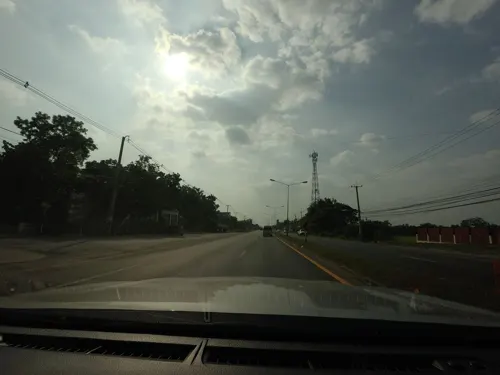
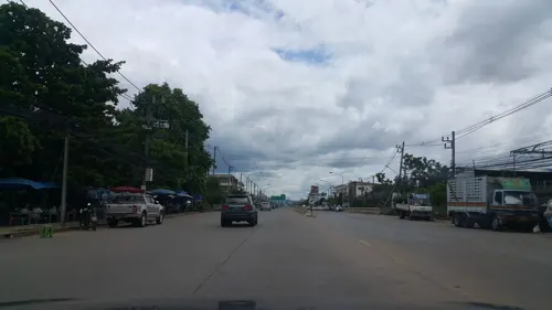
- Street-level photo, jrcarlsen, CC BY-SA 4.0
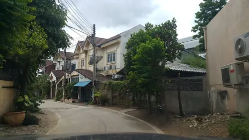
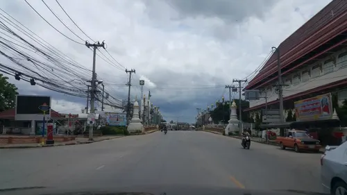
- Street-level photo, jrcarlsen, CC BY-SA 4.0
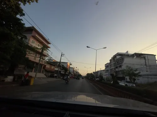
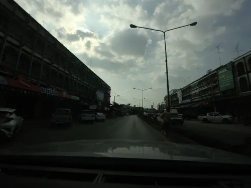
- Street-level photo, jrcarlsen, CC BY-SA 4.0
- Street-level photo, mishari, CC BY-SA 4.0
- Street-level photo, mishari, CC BY-SA 4.0
- Street-level photo, jrcarlsen, CC BY-SA 4.0
- Street-level photo, jrcarlsen, CC BY-SA 4.0
- Street-level photo, jrcarlsen, CC BY-SA 4.0
- Street-level photo, jrcarlsen, CC BY-SA 4.0
- Street-level photo, mishari, CC BY-SA 4.0
- Street-level photo, mishari, CC BY-SA 4.0
- Street-level photo, mishari, CC BY-SA 4.0
- Street-level photo, mishari, CC BY-SA 4.0
- Street-level photo, jrcarlsen, CC BY-SA 4.0
- Street-level photo, jrcarlsen, CC BY-SA 4.0
- Street-level photo, mishari, CC BY-SA 4.0
- Street-level photo, mishari, CC BY-SA 4.0
- Street-level photo, jrcarlsen, CC BY-SA 4.0
- Street-level photo, jrcarlsen, CC BY-SA 4.0


Page built November 10, 2026. Spotted a mistake? Tell us or suggest a place.