


Tha Kham, Thailand
เทศบาลเมืองท่าข้าม
Tha Kham is a town of 25,810 people in Surat Thani, Thailand, founded in August 31, 1955.
Why visit Tha Kham
Townapedia lists 1 park or trail, 8 places to eat, 5 places to stay and 1 attraction in and around town.
Highlights include Chulachomklao bridge.
Weather in Tha Kham
Forecast from MET Norway (CC BY 4.0). Full forecast
About Tha Kham
Tha Kham (Thai: ท่าข้าม) is a town in southern Thailand. As of May 2024 it covered an area of 14.10 km² and had a population of 17,880. It covers parts of the subdistrict (tambon) Tha Kham of Phunphin District, Surat Thani Province. It is on the shores of the Tapi River.
From the Wikipedia article Tha Kham, Surat Thani (this version), under CC BY-SA 4.0.
Things to do1

Parks, trails and playgrounds1

Restaurants and cafes8
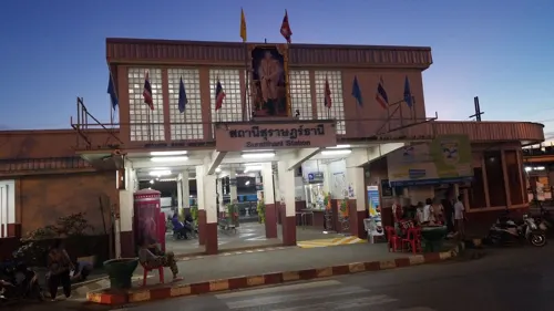
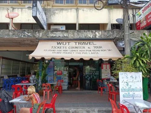
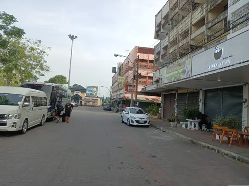

Cafe'Amazon Surat Thani Railway Station
Cafe · Coffee Shop, ขนมเค้ก · 0.8 km
112 ถนนธราธิบดี
06.30 - 18.30

Where to stay5

NADPOB Station นัดพบ สเตชั่น
Motel and hotel · 0.6 km
43 ถนนธราธิบดี
กสิรา กรีน - Gasira Green
Motel and hotel · 1.6 km
125 ถนนปากบาง Tambon Khao Hua Khwai, Surat Thani
History
The town dates back to the sanitary district (sukhaphiban), Tha Kham, which was created on 17 September 1955. It was upgraded to a township (thesaban tambon) on 14 April 1986, and further upgraded to a town (thesaban mueang) on 20 December 2000.
From the History section of Tha Kham, Surat Thani on Wikipedia, under CC BY-SA 4.0.
Shopping1
Schools, colleges and libraries2
Healthcare2
Map of Tha Kham
20 places. The map loads OpenStreetMap tiles when you open it.
Getting there and nearby towns
Surat Thani Airport (URT) is the nearest airport with scheduled flights listed in OpenStreetMap, 10 km away.
- Surat Thani 12 km east, about 12 min by car
- Chaiya 31 km north, about 31 min by car
- Tha Khanon 32 km west, about 32 min by car
- Ban Na San 37 km southeast, about 37 min by car
- Wiang Sa 55 km south, about 55 min by car
- Don Sak 55 km northeast, about 55 min by car
- Chai Buri 74 km south, about 1 h 15 min by car
- Tham Phannara 79 km south, about 1 h 15 min by car
- Chawang 82 km south, about 1 h 15 min by car
Drive times are estimates from straight-line distance, not routes.
Towns near Tha Kham


Keep exploring
Local news
Headlines from INDB.
Reviews, tips and questions
Loading what members have shared...
Sources and licences
- GeoNames (CC BY 4.0): population, coordinates, regions and time zone
- Mapillary (see each image): photos
- OpenStreetMap contributors (ODbL 1.0): places, airports, map data
- Wikidata (CC0 1.0): elevation, founding date, time zone, website, landmarks and historic places
- Wikimedia Commons (see each image): photos
- Wikipedia (CC BY-SA 4.0): overview and history text
Photo credits
- ภาพสถานการณ์น้ำท่วมภายในจังหวัดสุราษฎร์ธานี วันอา - Flickr - Abhisit Vejjajiva (12), Abhisit Vejjajiva, CC BY 2.0
- Surat Thani railway station 2, User:Ahoerstemeier, CC BY 4.0
- Phunphin clock tower, User:Ahoerstemeier, CC BY 4.0
- Surat Thani railway station 1, User:Ahoerstemeier, CC BY 4.0
- スラートターニー駅 プラットホーム, 前田大我, CC BY-SA 4.0
- Surat Thani railway station, Unknown author, CC BY-SA 3.0
- Street-level photo, simonsails, CC BY-SA 4.0
- Street-level photo, PascalMACAIGNE, CC BY-SA 4.0
- Street-level photo, PascalMACAIGNE, CC BY-SA 4.0
Page built November 10, 2026. Spotted a mistake? Tell us or suggest a place.