

Thap Than, Thailand
เทศบาลตำบลทัพทัน
Thap Than is a town of 16,615 people in Uthai Thani, Thailand, founded in October 15, 1956.
Loading the weather...
Population16,615
GeoNames
Local nameเทศบาลตำบลทัพทัน
RegionUthai Thani
Elevation45 m
148 ft
FoundedOctober 15, 1956
Time zoneAsia/Bangkok
Nearest airportTakhli Royal Thai Air Force Base (TKH)
48 km
Why visit Thap Than
Townapedia lists 1 place to eat in and around town.
Weather in Thap Than
Forecast from MET Norway (CC BY 4.0). Full forecast
Restaurants and cafes1
Churches and places of worship2

Gas and EV charging3

Schools, colleges and libraries2

Healthcare1
Map of Thap Than
9 places. The map loads OpenStreetMap tiles when you open it.
Getting there and nearby towns
Takhli Royal Thai Air Force Base (TKH) is the nearest airport with scheduled flights listed in OpenStreetMap, 48 km away.
- Uthai Thani 17 km southeast, about 17 min by car
- Phayuha Khiri 26 km east, about 26 min by car
- Lat Yao 34 km north, about 34 min by car
- Lan Sak 34 km west, about 34 min by car
- Huai Khot 35 km southwest, about 35 min by car
- Nakhon Sawan 38 km northeast, about 38 min by car
- Chai Nat 39 km southeast, about 39 min by car
- Kao Liao 48 km northeast, about 48 min by car
- Ban I Lup 62 km southwest, about 1 h by car
- Khanu Woralaksaburi 67 km north, about 1 h by car
Drive times are estimates from straight-line distance, not routes.
Keep exploring
Local news
Headlines from INDB.
Reviews, tips and questions
Loading what members have shared...
Sources and licences
- GeoNames (CC BY 4.0): population, coordinates, regions and time zone
- Mapillary (see each image): photos
- OpenStreetMap contributors (ODbL 1.0): places, airports, map data
- Wikidata (CC0 1.0): elevation, founding date, time zone, website
- Wikimedia Commons (see each image): photos
Photo credits
- Medythia suturalis (Motschulsky, 1858) (15700766446), Udo Schmidt from Deutschland, CC BY-SA 2.0
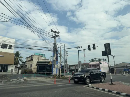
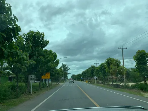
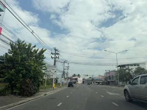
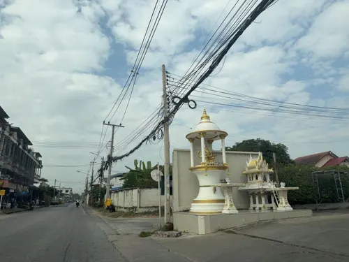
- Street-level photo, kasidetma, CC BY-SA 4.0
- Street-level photo, kasidetma, CC BY-SA 4.0
- Street-level photo, kasidetma, CC BY-SA 4.0
- Street-level photo, 1111, CC BY-SA 4.0
Page built November 10, 2026. Spotted a mistake? Tell us or suggest a place.