


Trat, Thailand
เทศบาลเมืองตราด
Trat is a regional capital of 21,590 people in Trat, Thailand.
Why visit Trat
Townapedia lists 5 museums and landmarks, 2 parks and trails, 33 places to eat and 27 places to stay in and around town.
Highlights include วัดบุปผาราม and Trat Province Stadium.
Weather in Trat
Forecast from MET Norway (CC BY 4.0). Full forecast
About Trat
Trat (Thai: ตราด, pronounced [tràːt]), also spelt Trad, is a town in Thailand, capital of Trat province and the Mueang Trat district. The town is in the east of Thailand, at the mouth of the Trat River, near the border with Cambodia.
From the Wikipedia article Trat (this version), under CC BY-SA 4.0.
Travel tips from other travellers: Trat on Wikivoyage (CC BY-SA 4.0).
Photos of Trat

Museums and landmarks5


Parks, trails and playgrounds2


Restaurants and cafes33
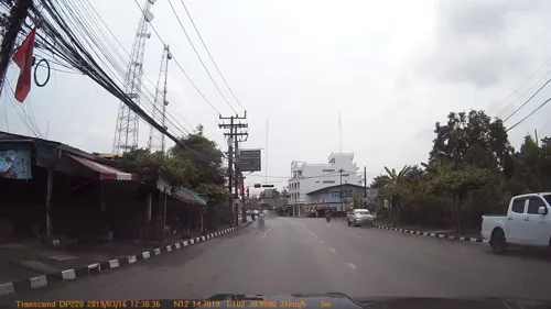
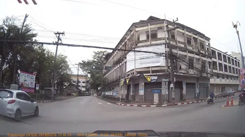



21 more on the map.
Where to stay27
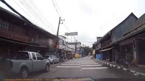
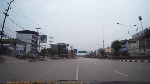




15 more on the map.
History
Trat was already an important seaport in the Kingdom of Ayutthaya.
Under King Chulalongkorn (Rama V), Trat and Chanthaburi provinces were briefly occupied by the French. In a complicated exchange of territory, Trat (and Chanthaburi) was returned on March 23, 1906, but Thailand relinquished the area around Siem Reap and Sisophon in present-day Cambodia.
When the Vietnamese pushed the Khmer Rouge out of Cambodia in 1985, Pol Pot fled to Thailand and made his headquarters in a plantation villa near Trat. It was built for him by the Thai Army and nicknamed "Office 87".
From the History section of Trat on Wikipedia, under CC BY-SA 4.0.
More about Trat
Geography
Trat Province is located in the eastern part of the central region of Thailand, in the extreme southeast of Thailand near the border with Cambodia. It is just over 300 km from the capital Bangkok.
Trat experiences a tropical monsoon climate, with the dry season taking place from November to April and the wet season lasting from May to October.
Economy
Its proximity to the Cambodian border gives Trat importance as a trading city. The area around Trat is rich in gemstone mines, whose yield (rubies and sapphires) is processed right in the town. Fruit growing is also important: durian, rambutan and mangosteen are the main products.
For tourists, Trat is more interesting as a starting point to the large islands of Ko Chang and Ko Mak.
From the Wikipedia article Trat, under CC BY-SA 4.0.
Notable people from Trat
- Kritsada Kamanassociation football player
- Araya RasdjarmrearnsookThai artist (born 1957)
- Tinnakorn AsurinThai association football player
- Kay LangkawongThai footballer
- Rattaporn SaetanThai footballer
Born in Trat, according to Wikidata (CC0). Each name links to its Wikipedia article.
Churches and places of worship9
Shopping5
Gas and EV charging6
Schools, colleges and libraries6
Healthcare4
Map of Trat
97 places. The map loads OpenStreetMap tiles when you open it.
Getting there and nearby towns
Trat Airport (TDX) is the nearest airport with scheduled flights listed in OpenStreetMap, 21 km away.
- Khao Saming 15 km northwest, about 15 min by car
- Laem Ngop 15 km southwest, about 15 min by car
- Ko Chang Tai 31 km southwest, about 31 min by car
- Ko Chang 32 km southwest, about 32 min by car
- Bo Rai 37 km north, about 37 min by car
- Ban Bang Bao 37 km southwest, about 37 min by car
- Khlung 40 km northwest, about 40 min by car
- Ban I Pat 40 km northwest, about 40 min by car
- Laem Sing 55 km northwest, about 55 min by car
- Chanthaburi 60 km northwest, about 1 h by car
Drive times are estimates from straight-line distance, not routes.
Keep exploring
Local news
Headlines from INDB.
Reviews, tips and questions
Loading what members have shared...
Sources and licences
- GeoNames (CC BY 4.0): population, coordinates, regions and time zone
- Mapillary (see each image): photos
- OpenStreetMap contributors (ODbL 1.0): places, airports, map data
- Wikidata (CC0 1.0): elevation, founding date, time zone, website
- Wikimedia Commons (see each image): photos
- Wikipedia (CC BY-SA 4.0): overview and history text
Photo credits
- Trat Airport in Thailand, thalling55, CC BY 2.0
- Nong Samet, Mueang Trat District, Trat 23000, Thailand - panoramio (1), Phong Phat G, CC BY-SA 3.0
- Nong Samet, Mueang Trat District, Trat 23000, Thailand - panoramio, Phong Phat G, CC BY-SA 3.0
- Nong Samet, Mueang Trat District, Trat 23000, Thailand - panoramio (2), Phong Phat G, CC BY-SA 3.0
- TRATFC STA, Powder1728, CC BY-SA 4.0
- ยา and ថ្នាំ, Hippietrail, CC BY-SA 4.0
- Protosticta curiosa (Fraser, 1934) (23352868803), Len Worthington, CC BY-SA 2.0
- Street-level photo, mapcreator, CC BY-SA 4.0
- Street-level photo, mapcreator, CC BY-SA 4.0
- Street-level photo, mapcreator, CC BY-SA 4.0
- Street-level photo, mapcreator, CC BY-SA 4.0
- Street-level photo, mapcreator, CC BY-SA 4.0
- Street-level photo, mapcreator, CC BY-SA 4.0
- Street-level photo, mapcreator, CC BY-SA 4.0
- Street-level photo, mapcreator, CC BY-SA 4.0
- Street-level photo, mapcreator, CC BY-SA 4.0
- Street-level photo, mapcreator, CC BY-SA 4.0
Page built November 10, 2026. Spotted a mistake? Tell us or suggest a place.