


Why visit Arpaçbahşiş
Townapedia lists 7 places to eat in and around town.
Weather in Arpaçbahşiş
Forecast from MET Norway (CC BY 4.0). Full forecast
About Arpaçbahşiş
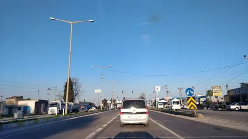
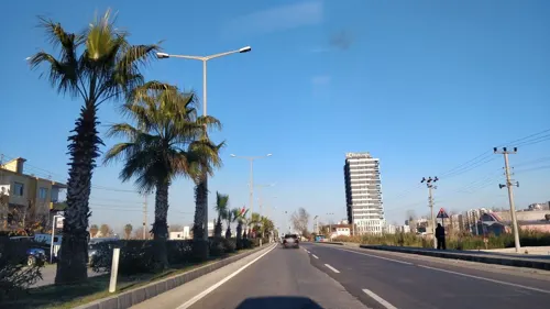
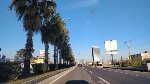
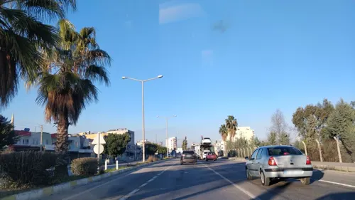
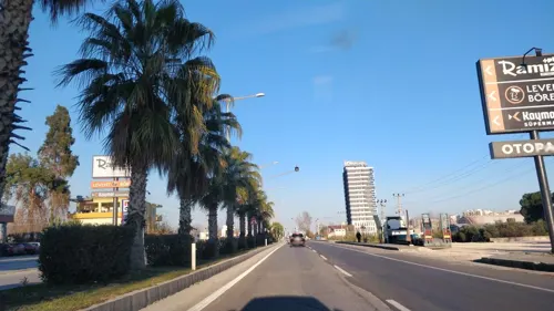
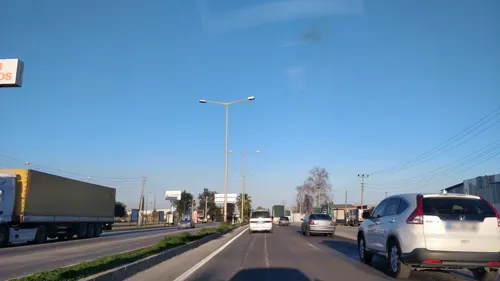
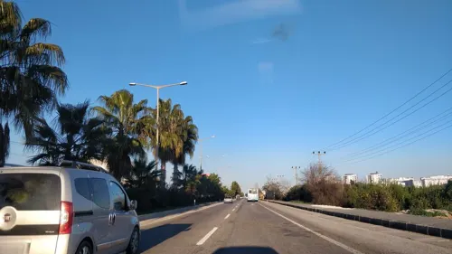
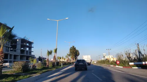
Arpaçbahşiş is a neighborhood within the municipality and district of Erdemli, Mersin Province, Turkey, with a population of 7,285 as of 2022. Prior to the administrative reorganization of 2013, it was classified as a town (belde). Currently, Arpaçbahşiş serves as a summer resort area, primarily attracting Turkish tourists. Its coastal location offers a shoreline that draws seasonal visitors seeking a local retreat.
From the Wikipedia article Arpaçbahşiş (this version), under CC BY-SA 4.0.
Restaurants and cafes7
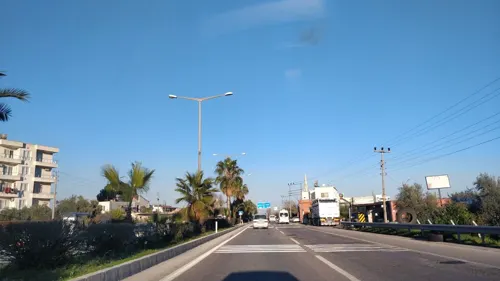
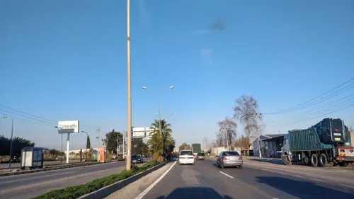
Churches and places of worship8

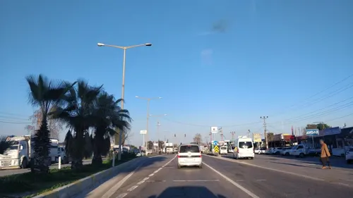
Shopping5

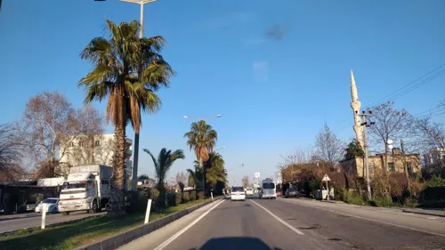
Gas and EV charging5

SHARZ Kayıkçıoğlu
EV charging
Tepecik Mah. Silifke Cad. A.Bahşiş Bld. Yanı No:2 Erdemli/Mersin, ERDEMLİ
24/7


History
The area around Arpaçbahşiş was once part of Cilicia Pedias, the flat eastern region of ancient Cilicia. In the 13th to 16th centuries, during the rule of the Ramadanid principality, the Varsak Turkmen tribe settled north of present-day Tömük, a few kilometers northeast of Arpaçbahşiş. By around 1375, Elvan Bey of the Varsak tribe controlled the region near Arpaçbahşiş. However, the town itself was not established until much later, likely in the early 18th century during the Ottoman period. It was then that the Sarıkeçili, a Turkmen tribe from Konya in central Anatolia, moved to the area. The town was named after Arpaç Hüseyin, the chief of the Sarıkeçili tribe.
Arpaçbahşiş, formerly a village, was granted municipal status and became a town (belde) on July 28, 1971. With the enactment of Law No. 6360 by the Grand National Assembly of Turkey on November 12, 2012, it was reclassified as a neighborhood (mahalle).
From the History section of Arpaçbahşiş on Wikipedia, under CC BY-SA 4.0.
Schools, colleges and libraries3
Healthcare2
Map of Arpaçbahşiş
30 places. The map loads OpenStreetMap tiles when you open it.
Getting there and nearby towns
Çukurova International Airport (COV) is the nearest airport with scheduled flights listed in OpenStreetMap, 69 km away.
- Erdemli 6 km southwest, about 6 min by car
- Pınarbaşı 7 km north, about 7 min by car
- Elvanlı 7 km north, about 7 min by car
- Tece 11 km northeast, about 11 min by car
- Limonlu 13 km southwest, about 13 min by car
- Ayaş 24 km southwest, about 24 min by car
- Mersin 32 km northeast, about 32 min by car
- Silifke 48 km southwest, about 48 min by car
- Tosmurlu 50 km southwest, about 50 min by car
- Tarsus 57 km northeast, about 57 min by car
Drive times are estimates from straight-line distance, not routes.
Local news
Headlines from INDB.
Reviews, tips and questions
Loading what members have shared...
Sources and licences
- GeoNames (CC BY 4.0): population, coordinates, regions and time zone
- Mapillary (see each image): photos
- OpenStreetMap contributors (ODbL 1.0): places, airports, map data
- Wikidata (CC0 1.0): elevation, founding date, time zone, website
- Wikimedia Commons (see each image): photos
- Wikipedia (CC BY-SA 4.0): overview and history text
Photo credits
- Arpaçbahşiş, Mersin Province, Nedim Ardoğa at English Wikipedia, CC BY-SA 3.0
- Road - panoramio (36), [email protected]…, CC BY 3.0
- Red - panoramio (5), [email protected]…, CC BY 3.0
- Street-level photo, kasar, CC BY-SA 4.0
- Street-level photo, kasar, CC BY-SA 4.0
- Street-level photo, kasar, CC BY-SA 4.0
- Street-level photo, kasar, CC BY-SA 4.0
- Street-level photo, kasar, CC BY-SA 4.0
- Street-level photo, kasar, CC BY-SA 4.0
- Street-level photo, kasar, CC BY-SA 4.0
- Street-level photo, kasar, CC BY-SA 4.0
- Street-level photo, kasar, CC BY-SA 4.0
- Street-level photo, kasar, CC BY-SA 4.0
- Street-level photo, kasar, CC BY-SA 4.0
- Street-level photo, kasar, CC BY-SA 4.0
Page built November 8, 2026. Spotted a mistake? Tell us or suggest a place.