


Bağcılar, Turkey
Bağcılar (şehir)
Bağcılar is a city of 740,069 people in Istanbul, Turkey.
Why visit Bağcılar
Townapedia lists 11 museums and landmarks, 23 parks and trails, 217 places to eat, 1 place to stay and 2 attractions in and around town.
Highlights include Haliç Bridge, Ora arena, Ammoi and Ataköy Gunpowder Mill.
Weather in Bağcılar
Forecast from MET Norway (CC BY 4.0). Full forecast
About Bağcılar
Bağcılar is a municipality and district of Istanbul Province, Turkey. Its area is 23 km2, and its population is 740,069 (2022). It is located on the European side of Istanbul, near the city centre, just north of Bahçelievler, between the two major ring roads, TEM and D100 (formerly E5). The district is the fourth most populous in the Istanbul Municipality.
From the Wikipedia article Bağcılar (this version), under CC BY-SA 4.0.
Things to do2

Museums and landmarks11

Ammoi
Monument and historic site · 7.0 km
Ancient city of Thrace in modern-day Turkey

Ataköy Gunpowder Mill
Museum · 7.1 km
Historical complex in Atakoy, Istanbul, Turkey
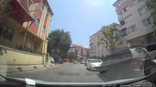
Cistern of the Hebdomon
Monument and historic site · 5.7 km
Archeological site in Turkey
Henaton
Monument and historic site · 7.4 km
Ancient city of Thrace in modern-day Turkey
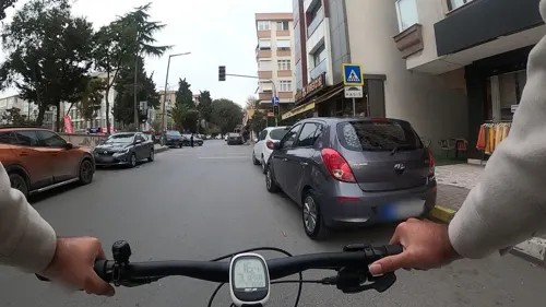
Kampos
Monument and historic site · 6.5 km
Ancient city of Thrace in modern-day Turkey

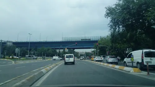
Paulines
Monument and historic site · 7.1 km
Ancient city of Thrace in modern-day Turkey
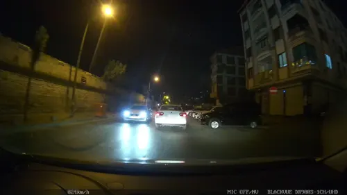
Pege
Monument and historic site · 6.6 km
Ancient city of Thrace in modern-day Turkey
Rhesion
Monument and historic site · 6.8 km
Ancient city of Thrace, in modern-day Turkey
Parks, trails and playgrounds23

Atatürk Airport National Garden
Park · 7.3 km
Urban park in Istanbul, Turkey


11 more on the map.
Restaurants and cafes217

Tatlicafe Bağcilar
Cafe · Dessert
4/d 893. Sokak, İstanbul
09:00-02:00


bagcilar pide fırını
Bakery · 1.4 km
8 yonca sokak
Mo-Su 08:00-20:00


205 more on the map.
Where to stay1
Churches and places of worship39
Abdullah İbn Mesud Camii
Place of worship · Sunni · 1.2 km
Güneştepe Millet Bahçesi, İstanbul
Çiftlik demircan camii
Place of worship · Sunni · 0.9 km
Velioğlu Caddesi, İstanbul
Shopping144
Gas and EV charging6
Schools, colleges and libraries36
Healthcare105
İbni Sina Eczanesi
Clinic and pharmacy · 1.1 km
62\A Çinçindere Caddesi, İstanbul
Map of Bağcılar
250 places. The map loads OpenStreetMap tiles when you open it.
Getting there and nearby towns
Istanbul Atatürk Airport (ISL) is the nearest airport with scheduled flights listed in OpenStreetMap, 7 km away.
- Esenler 2 km east, about 2 min by car
- Bahçelievler 4 km south, about 4 min by car
- Zeytinburnu 6 km southeast, about 6 min by car
- Istanbul 8 km east, about 8 min by car
- Fatih 7 km east, about 7 min by car
- Küçükçekmece 9 km southwest, about 9 min by car
- Üsküdar 13 km east, about 13 min by car
- Ümraniye 23 km east, about 23 min by car
- Gebze 55 km southeast, about 55 min by car
- Derince 86 km east, about 1 h 30 min by car
Drive times are estimates from straight-line distance, not routes.
Local news
Headlines from INDB.
Reviews, tips and questions
Loading what members have shared...
Sources and licences
- GeoNames (CC BY 4.0): population, coordinates, regions and time zone
- Mapillary (see each image): photos
- OpenStreetMap contributors (ODbL 1.0): places, airports, map data
- Wikidata (CC0 1.0): elevation, founding date, time zone, website, landmarks and historic places
- Wikimedia Commons (see each image): photos
- Wikipedia (CC BY-SA 4.0): overview and history text
Photo credits
- Collage of Bağcılar, Adem, CC BY-SA 4.0
- DSC04814 Istanbul - Vista del Corno d'Oro dal café Loti di Eyüp - Foto G. Dall'Orto 30-5-2006, G.dallorto, CC BY-SA 2.5 it
- Panorama 1453 History Museum, İlhami DİNÇ, Public domain
- Piyer Loti Museum 1, Nedim Ardoğa, CC BY-SA 4.0
- Required Ray in Turkuazoo, Istanbul, Turkey (9606744672), l0da_ralta, CC BY 2.0
- AtikMustafaPashaMosque20072612 02, A. Fabbretti, CC BY-SA 4.0
- Boğdan Sarayı Şapeli 3, Sadrettin, CC BY-SA 4.0
- Chora Church 2024, Tadam, CC0
- SaintMaryOfBlachernae20072612 01, A. Fabbretti, CC BY-SA 3.0
- Saint Mary Of The Spring 2010-10-09 01, Alessandro57, CC BY 3.0
- KocaMustafaPashaMosque20072812 03, A. Fabbretti, CC BY-SA 4.0
- Manastir Mosque 2010-10-09 02, Alessandro57, CC BY-SA 3.0
- Mahmutbey Campus, Uyarı: Burada yer alan yatırım bilgi, yorum ve tavsiyeleri yatırım danışmanlığı kapsamında değildir. Yatırım danışmanlığı hizmeti, aracı kurumlar, portföy yönetim şirketleri, mevduat kabul etmeyen..., CC BY-SA 4.0
- BezmialemUniversityHospital (3), CeeGee, CC BY-SA 4.0
- The tower of Atakoy Gunpowder, Historianengineer, CC0
- Atatürk Havalimanı Millet Bahçesi, Şubat 2025, Sefabaris, CC BY-SA 3.0
- Street-level photo, okansafak, CC BY-SA 4.0
- Street-level photo, sugurlu, CC BY-SA 4.0
- Street-level photo, Eray_ozturk, CC BY-SA 4.0
- Street-level photo, ahmetegri, CC BY-SA 4.0
- Street-level photo, yigidofurki, CC BY-SA 4.0
- Street-level photo, okansafak, CC BY-SA 4.0
- Street-level photo, ahmetegri, CC BY-SA 4.0
- Street-level photo, Eray_ozturk, CC BY-SA 4.0
- Street-level photo, erdoganksgn, CC BY-SA 4.0
- Street-level photo, okansafak, CC BY-SA 4.0


Page built November 8, 2026. Spotted a mistake? Tell us or suggest a place.