


Why visit Bitlis
Townapedia lists 5 museums and landmarks, 2 parks and trails, 8 places to eat, 1 place to stay and 1 attraction in and around town.
Highlights include Bitlis Etnografya Müzesi and Bitlis Kalesi.
Weather in Bitlis
Forecast from MET Norway (CC BY 4.0). Full forecast
About Bitlis
Bitlis (Armenian: Բաղեշ, romanized: Baghesh or Paghesh; Kurdish: Bidlîs; Arabic: بدليس) is a city in southeastern Turkey. It is the seat of Bitlis District and Bitlis Province. Its population is 53,023 (2021). The city is located at an elevation of 1,545 metres, 15 km from Lake Van, in the steep-sided valley of the Bitlis River, a tributary of the Tigris.
From the Wikipedia article Bitlis (this version), under CC BY-SA 4.0.
Things to do1

Museums and landmarks5




Parks, trails and playgrounds2


Restaurants and cafes8
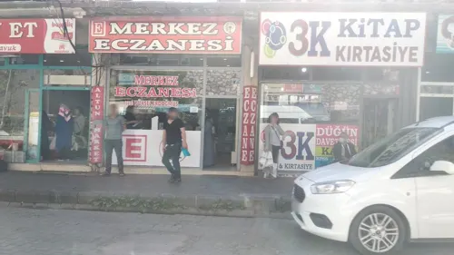

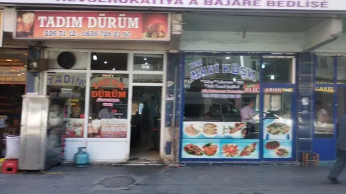
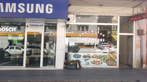


Where to stay1
Churches and places of worship14
Shopping5
Gas and EV charging1
Schools, colleges and libraries11
Healthcare8
Map of Bitlis
56 places. The map loads OpenStreetMap tiles when you open it.
Getting there and nearby towns
Siirt Airport (SXZ) is the nearest airport with scheduled flights listed in OpenStreetMap, 53 km away.
- Değirmenaltı 7 km northeast, about 7 min by car
- Bölükyazı 10 km southeast, about 10 min by car
- Mutki 16 km west, about 16 min by car
- Tatvan 18 km northeast, about 18 min by car
- Güroymak 21 km north, about 21 min by car
- Yumurtatepe 24 km northeast, about 24 min by car
- Narlıdere 27 km southwest, about 27 min by car
- Hizan 33 km southeast, about 33 min by car
- Baykan 40 km southwest, about 40 min by car
- Siirt 54 km south, about 54 min by car
Drive times are estimates from straight-line distance, not routes.
Local news
Headlines from INDB.
Reviews, tips and questions
Loading what members have shared...
Sources and licences
- GeoNames (CC BY 4.0): population, coordinates, regions and time zone
- Mapillary (see each image): photos
- OpenStreetMap contributors (ODbL 1.0): places, airports, map data
- Wikidata (CC0 1.0): elevation, founding date, time zone, website
- Wikimedia Commons (see each image): photos
- Wikipedia (CC BY-SA 4.0): overview and history text
Photo credits
- Bêdlis, Dûrzan, CC BY-SA 3.0
- Bitlis Meydan Cami 3718, Dosseman, CC BY-SA 4.0
- Bitlis 3830, Dosseman, CC BY-SA 4.0
- Bitlis 3719 10092012, Dosseman, CC BY-SA 4.0
- Bitlis Meydan Cami 3716, Dosseman, CC BY-SA 4.0
- Bitlis Meydan Cami 3717, Dosseman, CC BY-SA 4.0
- Bitlis Castle hill hill 3715, Dosseman, CC BY-SA 4.0
- Bitlis Meydan Cami 3724, Dosseman, CC BY-SA 4.0
- Bitlis Sokak Han 3713, Dosseman, CC BY-SA 4.0
- Bitlis Street view 3828, Dosseman, CC BY-SA 4.0
- Bitlis Meydan Camii 3720, Dosseman, CC BY-SA 4.0
- Bitlis Kalesi 3701, Dosseman, CC BY-SA 4.0
- Bitlis View of city 3703, Dosseman, CC BY-SA 4.0
- Bitlis Apsalağa Cami 3696, Dosseman, CC BY-SA 4.0
- Bitlis Apsalağa Cami 3697, Dosseman, CC BY-SA 4.0
- Bitlis View of city 3702, Dosseman, CC BY-SA 4.0
- Bitlis 3700 Panorama 10092012, Dosseman, CC BY-SA 4.0
- Bitlis Apsalağa Cami 3698, Dosseman, CC BY-SA 4.0
- Bitlis Kalesi 3700 Panorama, Dosseman, CC BY-SA 4.0
- Bitlis Apsalağa Cami 3699, Dosseman, CC BY-SA 4.0
- Bitlis Apsalağa Cami 3700, Dosseman, CC BY-SA 4.0
- Bitlis Kalealtı Mosque 3711, Dosseman, CC BY-SA 4.0
- Bitlis Şerefiye Mosque 3747, Dosseman, CC BY-SA 4.0
- Bitlis Şerefiye Mosque 3748, Dosseman, CC BY-SA 4.0
- Bitlis Şerefiye Mosque 3746, Dosseman, CC BY-SA 4.0
- Bitlis Apsalağa Cami 3695, Dosseman, CC BY-SA 4.0
- Bitlis Şerefiye Mosque 3728, Dosseman, CC BY-SA 4.0
- Bitlis Kalesi 3705, Dosseman, CC BY-SA 4.0
- Bitlis Şerefiye Mosque 3727, Dosseman, CC BY-SA 4.0
- Bitlis Street view 3736, Dosseman, CC BY-SA 4.0
- Bitlis Şerefiye Mosque 3735 Panorama, Dosseman, CC BY-SA 4.0
- Bitlis Şerefiye Mosque 3735, Dosseman, CC BY-SA 4.0
- Bitlis Şerefiye Mosque 3732, Dosseman, CC BY-SA 4.0
- Bitlis Şerefiye Mosque 3731, Dosseman, CC BY-SA 4.0
- Bitlis Kalesi 3692, Dosseman, CC BY-SA 4.0
- Bitlis Şerefiye Mosque 3729, Dosseman, CC BY-SA 4.0
- Bitlis Şerefiye Mosque 3745, Dosseman, CC BY-SA 4.0
- Bitlis Kalesi view to hill 3708, Dosseman, CC BY-SA 4.0
- Bitlis Şerefiye Mosque 3744, Dosseman, CC BY-SA 4.0
- Bitlis Şerefiye Mosque 3757, Dosseman, CC BY-SA 4.0
- Bitlis Kalesi, Bitlis, Sabri76, Public domain
- Bitlis Ulu Camii 1663, Dosseman, CC BY-SA 4.0
- Bitlis Alemdar Camii minaret 3787, Dosseman, CC BY-SA 4.0
- Bitlis Şerefiye Mosque 1689, Dosseman, CC BY-SA 4.0
- Bitlis Gökmeydan camii 3861, Dosseman, CC BY-SA 4.0
- Bitlis Şey Garip Türbesi and Sultaniye mosque 3819, Dosseman, CC BY-SA 4.0
- İhlasiye Medresesi 2026-10-11 12.54.54 1791712519, Persembe, CC BY-SA 4.0
- Bitlis Kızıl Mescit mosque 1679, Dosseman, CC BY-SA 4.0
- Bitlis Castle hill hill 3714, Dosseman, CC BY-SA 4.0
- Street-level photo, boracasli, CC BY-SA 4.0
- Street-level photo, boracasli, CC BY-SA 4.0
- Street-level photo, boracasli, CC BY-SA 4.0
- Street-level photo, boracasli, CC BY-SA 4.0
- Street-level photo, boracasli, CC BY-SA 4.0
- Street-level photo, boracasli, CC BY-SA 4.0


Page built November 8, 2026. Spotted a mistake? Tell us or suggest a place.