


Why visit Çeşmeli
Townapedia lists 8 places to eat in and around town.
Weather in Çeşmeli
Forecast from MET Norway (CC BY 4.0). Full forecast
About Çeşmeli
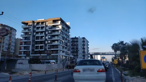
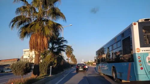
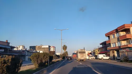
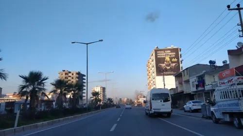
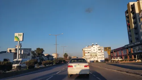
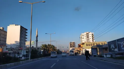
Çeşmeli is a neighbourhood in the municipality and district of Erdemli, Mersin Province, Turkey. Its population is 5,925 (2022). Before the 2013 reorganisation, it was a town (belde).
From the Wikipedia article Çeşmeli (this version), under CC BY-SA 4.0.
Restaurants and cafes8



Churches and places of worship7

Shopping14
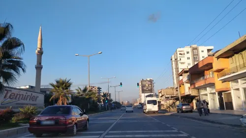
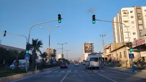

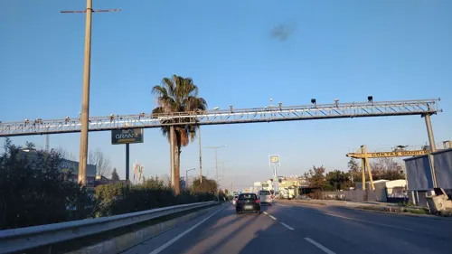
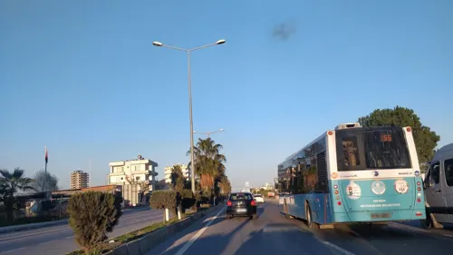
2 more on the map.
Gas and EV charging5



History
Nothing definite is known about the origin of the town. According to legend, the earliest
settlement was established 300 years ago by a certain Şahin Ali Bey at a location nearer to Mersin. The settlers moved to the present site later on, using the name of their former settlement, Çeşmeli (meaning location with a fountain). It was declared a township in 1969.
From the History section of Çeşmeli on Wikipedia, under CC BY-SA 4.0.
Schools, colleges and libraries4
Healthcare2
Map of Çeşmeli
40 places. The map loads OpenStreetMap tiles when you open it.
Getting there and nearby towns
Çukurova International Airport (COV) is the nearest airport with scheduled flights listed in OpenStreetMap, 62 km away.
- Tece 3 km northeast, about 3 min by car
- Elvanlı 5 km northwest, about 5 min by car
- Erdemli 14 km southwest, about 14 min by car
- Limonlu 21 km southwest, about 21 min by car
- Mersin 24 km northeast, about 24 min by car
- Tarsus 49 km northeast, about 49 min by car
- Silifke 55 km southwest, about 55 min by car
- Tosmurlu 57 km southwest, about 57 min by car
- Kireçocağı 83 km northeast, about 1 h 30 min by car
- Adana 87 km northeast, about 1 h 30 min by car
Drive times are estimates from straight-line distance, not routes.
Local news
Headlines from INDB.
Reviews, tips and questions
Loading what members have shared...
Sources and licences
- GeoNames (CC BY 4.0): population, coordinates, regions and time zone
- Mapillary (see each image): photos
- OpenStreetMap contributors (ODbL 1.0): places, airports, map data
- Wikidata (CC0 1.0): elevation, founding date, time zone, website
- Wikimedia Commons (see each image): photos
- Wikipedia (CC BY-SA 4.0): overview and history text
Photo credits
- Liparis Sunflowers 1, Leladise, CC BY-SA 4.0
- Lemon Trees - panoramio, M. PINARCI, CC BY-SA 3.0
- ISS020-E-37128 - View of Earth, Earth Science and Remote Sensing Unit , Lyndon B. Johnson Space Center, Public domain
- ISS017-E-17971 - View of Earth, Earth Science and Remote Sensing Unit , Lyndon B. Johnson Space Center, Public domain
- Street-level photo, kasar, CC BY-SA 4.0
- Street-level photo, kasar, CC BY-SA 4.0
- Street-level photo, kasar, CC BY-SA 4.0
- Street-level photo, kasar, CC BY-SA 4.0
- Street-level photo, kasar, CC BY-SA 4.0
- Street-level photo, kasar, CC BY-SA 4.0
- Street-level photo, kasar, CC BY-SA 4.0
- Street-level photo, kasar, CC BY-SA 4.0
- Street-level photo, kasar, CC BY-SA 4.0
- Street-level photo, kasar, CC BY-SA 4.0
- Street-level photo, kasar, CC BY-SA 4.0
- Street-level photo, kasar, CC BY-SA 4.0
- Street-level photo, kasar, CC BY-SA 4.0
- Street-level photo, kasar, CC BY-SA 4.0
- Street-level photo, kasar, CC BY-SA 4.0
Page built November 8, 2026. Spotted a mistake? Tell us or suggest a place.