

Why visit Develi
Townapedia lists 2 museums and landmarks, 3 parks and trails, 1 place to eat, 1 place to stay and 1 attraction in and around town.
Highlights include Seyrani Monument.
Weather in Develi
Forecast from MET Norway (CC BY 4.0). Full forecast
About Develi
Develi, formerly known as Averak or Everek, is a municipality and district of Kayseri Province, Turkey. Its area is 1,892 km2, and its population is 66,840 (2022).
From the Wikipedia article Develi (this version), under CC BY-SA 4.0.
Things to do1

Museums and landmarks2
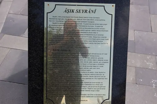
Seyrani Monument
Monument and historic site
Monument in Develi, Turkey

Parks, trails and playgrounds3
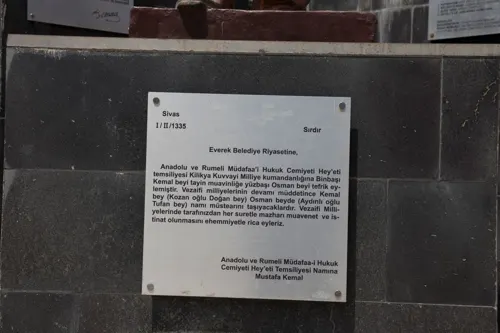


Restaurants and cafes1

History
The historical name of the town is Everek and it is called Averak (ruin) in Armenian. A historian and geographer who lived in the fourteenth century, gives the name of the butcher Mustavfi as Davalu. According to him, it was a medium-sized city and its walls were rebuilt by Seljuk Sultan Alaeddin. In the work called Cihannüma, written in the seventeenth century, the town is called Davahlu.
According to historical sources, cultural traces of civilizations that lived in Develi between 2500 and 2000 BC have been found. There is still a need for scientific research in Develi, which hosts many civilizations in the historical process between the Copper Age, the Bronze Age and the Seljuk Period. From 1867 until 1922, Develi was part of Angora vilayet. Following the Circassian genocide, many displaced Circassians were resettled in the region of Develi by the Ottoman Empire. According to the 1914 Ottoman population statistics, the district of Develi had a total population of 49.128, consisting of 30.948 Muslims, 15.689 Armenians, 2.085 Greeks, 404 Catholics and 2 Protestants.
From the History section of Develi on Wikipedia, under CC BY-SA 4.0.
Where to stay1
Churches and places of worship31
Shopping1
Gas and EV charging5
Schools, colleges and libraries6
Healthcare27
Map of Develi
78 places. The map loads OpenStreetMap tiles when you open it.
Getting there and nearby towns
Kayseri Erkilet International Airport (ASR) is the nearest airport with scheduled flights listed in OpenStreetMap, 43 km away.
- Bahçebaşı 1 km south, about 1 min by car
- İncesu 9 km northeast, about 9 min by car
- Tomarza 27 km east, about 27 min by car
- Hacılar 28 km north, about 28 min by car
- Talas 34 km north, about 34 min by car
- Yahyalı 34 km south, about 34 min by car
- Kayseri 38 km north, about 38 min by car
- Ürgüp 57 km northwest, about 57 min by car
- Derinkuyu 66 km west, about 1 h by car
- Nevşehir 73 km west, about 1 h 15 min by car
Drive times are estimates from straight-line distance, not routes.
Local news
Headlines from INDB.
Reviews, tips and questions
Loading what members have shared...
Sources and licences
- GeoNames (CC BY 4.0): population, coordinates, regions and time zone
- Mapillary (see each image): photos
- OpenStreetMap contributors (ODbL 1.0): places, airports, map data
- Wikidata (CC0 1.0): elevation, founding date, time zone, website, landmarks and historic places
- Wikimedia Commons (see each image): photos
- Wikipedia (CC BY-SA 4.0): overview and history text
Photo credits
- DeveliCumhuriyetMeydani, Klaus-Peter Simon, CC BY-SA 3.0
- Street-level photo, turankaya74, CC BY-SA 4.0
- Street-level photo, turankaya74, CC BY-SA 4.0
- Street-level photo, turankaya74, CC BY-SA 4.0
- Street-level photo, turankaya74, CC BY-SA 4.0
Page built November 8, 2026. Spotted a mistake? Tell us or suggest a place.