


Why visit Ürgüp
Townapedia lists 52 museums and landmarks, 5 parks and trails, 128 places to eat, 235 places to stay and 20 attractions in and around town.
Highlights include Ortahisar Castle, Dutlu Camii, Kayakapı and Göreme Historical National Park.
Weather in Ürgüp
Forecast from MET Norway (CC BY 4.0). Full forecast
About Ürgüp
Ürgüp (Greek: Προκόπιο Prokópio, Cappadocian Greek: Προκόπι Prokópi, Ottoman Turkish: Burgut Kalesi) is a town in Nevşehir province in the Cappadocia area of Central Anatolia, Turkey. It is the seat of Ürgüp District. Its population is 24,647 (2022). The town lies at an average elevation of 1,044 m (3,425 ft).
From the Wikipedia article Ürgüp (this version), under CC BY-SA 4.0.
Travel tips from other travellers: Ürgüp on Wikivoyage (CC BY-SA 4.0).
Things to do20



8 more on the map.
Museums and landmarks52


Kayakapı
Monument and historic site · 0.8 km
Neighbourhood of Ürgüp, Turkey



Zelve village
Monument and historic site · 6.1 km
Byzantine-era settlement in Cappadocia




40 more on the map.
Parks, trails and playgrounds5




Restaurants and cafes128
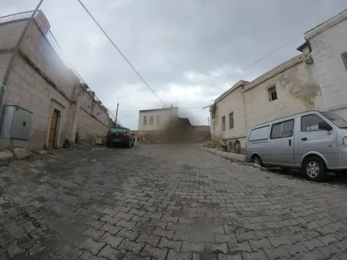
Janus Cappadocia Restaurant
Restaurant · Breakfast, Burger, Chicken, Curry, Friture, Grill, International · 4.2 km
21 Hacı Telgraf Sokak
Su-Sa 08:00-22:00

Piri ZARA Tours & Travel Coffee Shop
Cafe · Coffee Shop · 7.2 km
47 Bilal Eroğlu Caddesi, Nevsehir
24/7

Ferize Meyhane
Restaurant · Regional, Kebab, Seafood, Ice Cream, Turkish, Grill, Juice, Salad, Dessert, Diner, Fine Dining, Soup, International, Indian, Nargile, Hookah · 7.4 km
5/C Belediye Caddesi, Nevşehir
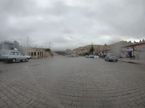
Ferize Restaurant
Restaurant · Regional, Kebab, Barbecue, Mediterranean, Fish, Juice, Grill, Noodle, Sandwich, Seafood, Salad, Diner, Turkish, Brunch · 7.4 km
5 Belediye Caddesi, Nevşehir
King’s Coffee
Cafe · Coffee Shop, Tea, Turkish · 7.3 km
3 İçeridere Sokak
Mo-Su 07:00-22:00
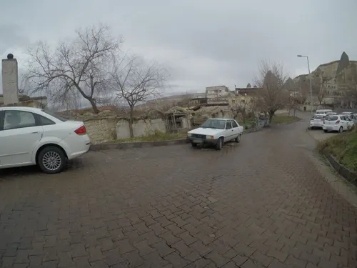
Old Cappadocia
Restaurant · Turkish · 7.4 km
İçeridere Sk. no:8, 50180 Göreme/Nevşehir Merkez/Nevşehir, Turchia
Mo-Su 11:00-00:00
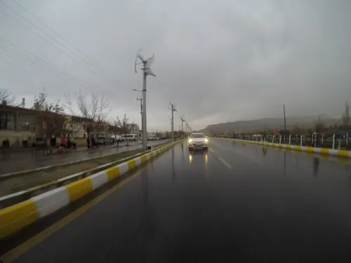
The Goat Coffee Kapadokya
Cafe · Coffee Shop · 7.1 km
63 Bilal Eroğlu Caddesi
Mo-Su 04:00-01:00
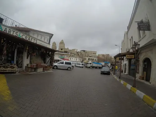


The Patio Cafe
Cafe · Turkish · 7.3 km
2/1 İçeridere Sokak
Mo-Su 08:30-19:30
116 more on the map.
History
The original occupation of the site of Prokopi/Ürgüp probably dates back to Hittite times although there is no longer anything to show for that today. A few tombs left from a necropolis serve as evidence of Roman occupation. Of Byzantine occupation there are also only scant traces, mainly of the Church of St Procopius, the saint after whom the town was originally named.
More evidence survives of the Selçuk presence here, especially in the form of the hexagonal Altı Kapılar (Six Gates) tomb of a military commander in the town centre. A symbolic tomb (1863) on top of Temenni Hill commemorates the Selçuk leader Ruknettin Kılıçarslan IV who was killed while in Ürgüp.
From the History section of Ürgüp on Wikipedia, under CC BY-SA 4.0.
Where to stay235
Churches and places of worship74
Shopping22
YASTIKS - Handmade Cushions & Authentic Souvenir
Shop · 7.2 km
18A Müze Caddesi, Nevsehir
La Casa de Cuero
Shopping center · 4.3 km
3/1 Şehit Metin Özüarı Caddesi, Nevşehir
Gas and EV charging8
Schools, colleges and libraries16
Kapadokya Üniversitesi Ürgüp Sağlık Yerleşkesi
School · 2.0 km
4 Ahmet Taner Kışlalı Caddesi, Nevşehir
Healthcare20
Map of Ürgüp
250 places. The map loads OpenStreetMap tiles when you open it.
Getting there and nearby towns
Nevşehir Kapadokya Airport (NAV) is the nearest airport with scheduled flights listed in OpenStreetMap, 36 km away.
- Göreme 7 km west, about 7 min by car
- Avanos 11 km northwest, about 11 min by car
- Nevşehir 17 km west, about 17 min by car
- Gülşehir 28 km northwest, about 28 min by car
- Derinkuyu 32 km southwest, about 32 min by car
- Yeşilhisar 34 km southeast, about 34 min by car
- Acıgöl 36 km west, about 36 min by car
- Kayseri 51 km east, about 51 min by car
- Aksaray 82 km west, about 1 h 15 min by car
- Kırşehir 87 km northwest, about 1 h 30 min by car
Drive times are estimates from straight-line distance, not routes.
Local news
Headlines from INDB.
Reviews, tips and questions
Loading what members have shared...
Sources and licences
- GeoNames (CC BY 4.0): population, coordinates, regions and time zone
- Mapillary (see each image): photos
- OpenStreetMap contributors (ODbL 1.0): places, airports, map data
- Wikidata (CC0 1.0): elevation, founding date, time zone, website, landmarks and historic places
- Wikimedia Commons (see each image): photos
- Wikipedia (CC BY-SA 4.0): overview and history text
Photo credits
- View of Ürgüp, Bernard Gagnon, CC BY-SA 3.0
- Cumhuriyet Myd, Ürgüp, Codas, CC BY-SA 4.0
- Ürgüp Iftar 3241, Dosseman, CC BY-SA 4.0
- Ürgüp Iftar 3242, Dosseman, CC BY-SA 4.0
- Ürgüp Iftar 3243, Dosseman, CC BY-SA 4.0
- Ürgüp Iftar 3249, Dosseman, CC BY-SA 4.0
- Ürgüp Iftar 3250, Dosseman, CC BY-SA 4.0
- Atatürk Blv, Ürgüp, Codas, CC BY-SA 4.0
- Ürgüp Iftar 3244, Dosseman, CC BY-SA 4.0
- Ürgüp Iftar 3248, Dosseman, CC BY-SA 4.0
- Ürgüp Iftar 3245, Dosseman, CC BY-SA 4.0
- Ürgüp Iftar 3246, Dosseman, CC BY-SA 4.0
- Ürgüp Iftar 3247, Dosseman, CC BY-SA 4.0
- Ürgüp Temenni Tepesi view of town 3229 (1), Dosseman, CC BY-SA 4.0
- Ürgüp Temenni Tepesi view of town 3227 (1), Dosseman, CC BY-SA 4.0
- Ürgüp Temenni Tepesi view of town 3228 (1), Dosseman, CC BY-SA 4.0
- Ürgüp, Cappodocia, Turkey - panoramio, Alexey Komarov, CC BY 3.0
- Ürgüp Kılıçarslan Gazi Türbesi ve Anıt Mezarları 02, Codas, CC BY-SA 4.0
- Ürgüp Kılıçarslan Gazi Türbesi ve Anıt Mezarları 01, Codas, CC BY-SA 4.0
- Ürgüp Temenni Tepesi view of town 3230 (1), Dosseman, CC BY-SA 4.0
- Ürgüp - panoramio (1), Alexey Komarov, CC BY 3.0
- Ürgüp - panoramio, Alexey Komarov, CC BY 3.0
- Ürgüp 3226, Dosseman, CC BY-SA 4.0
- Ürgüp six gates tomb 4459, Dosseman, CC BY-SA 4.0
- Ürgüp six gates tomb 4460, Dosseman, CC BY-SA 4.0
- Ürgüp, Cappodocia, Turkey - panoramio (1), Alexey Komarov, CC BY 3.0
- Kayakapı (Panorama), Hamdi Dinler, CC BY-SA 3.0
- Nevşehir museum in 2019 1556, Dosseman, CC BY-SA 4.0
- Zelve Cappadocia, Noumenon, CC BY-SA 3.0
- .00 1627 Tuffsteinlandschaft von Göreme (Türkei), W. Bulach, CC BY-SA 4.0
- Cappadocia Aerial View (6998755984), Benh LIEU SONG from Torcy, France, CC BY-SA 2.0
- 00 3598 Felsformation aus vulkanischer Ascheablagerung - Felswohnungen, W. Bulach, CC BY-SA 4.0
- Göreme Valley in Cappadocia edit1, Brocken Inaglory, CC BY-SA 3.0
- Mustafapaşa-Façade de la medersa (1), Ji-Elle, CC BY-SA 3.0
- Çavuşin-Eglise Saint-Jean-Baptiste (1), Ji-Elle, CC BY-SA 3.0
- Pancarlık Kilise-Fresques (13), Ji-Elle, CC BY-SA 3.0
- Cappadocia March 2006, Brocken Inaglory, CC BY-SA 3.0
- Ürgüp Merkez Karamanoglu C. Kebir I. Bey Camii 0781, Dosseman, CC BY-SA 4.0
- J22 230 Agia Katharina, Falk2, CC BY-SA 4.0
- Frescos in Çarıklı Kilise 07, Codas, CC BY-SA 4.0
- Aynalı Kilise 9897, Dosseman, CC BY-SA 4.0
- Elmali - Fresco Mittelschiff, Wolfgang Sauber, CC BY-SA 3.0
- J22 235 Tokalı Kilise, Falk2, CC BY-SA 4.0
- Ürgüp Sagir Mescid Camii 0776, Dosseman, CC BY-SA 4.0
- St. Nicholas monastery and churches courtyard, Mustafapaşa in 2017 3595, Dosseman, CC BY-SA 4.0
- Ürgüp Dutlu Cami 0115, Dosseman, CC BY-SA 4.0
- Ürgüp Merkez Musafendi Camii 0812, Dosseman, CC BY-SA 4.0
- Ürgüp Kurtuluş Camii 0109, Dosseman, CC BY-SA 4.0
- Street-level photo, asturksever, CC BY-SA 4.0
- Street-level photo, chrisbeddow, CC BY-SA 4.0
- Street-level photo, robot8a, CC BY-SA 4.0
- Street-level photo, chrisbeddow, CC BY-SA 4.0
- Street-level photo, chrisbeddow, CC BY-SA 4.0
- Street-level photo, chrisbeddow, CC BY-SA 4.0
- Street-level photo, chrisbeddow, CC BY-SA 4.0
- Street-level photo, chrisbeddow, CC BY-SA 4.0
- Street-level photo, chrisbeddow, CC BY-SA 4.0
- Street-level photo, azadezey, CC BY-SA 4.0
- Street-level photo, chrisbeddow, CC BY-SA 4.0
- Street-level photo, chrisbeddow, CC BY-SA 4.0
- Street-level photo, chrisbeddow, CC BY-SA 4.0


Page built November 8, 2026. Spotted a mistake? Tell us or suggest a place.