


Why visit Dursunlu
Townapedia lists 5 museums and landmarks, 8 places to eat, 2 places to stay and 2 attractions in and around town.
Highlights include Kartal Tepe, Antioch and Hatay Archaeology Museum.
Weather in Dursunlu
Forecast from MET Norway (CC BY 4.0). Full forecast
Things to do2

Museums and landmarks5

Antioch
Monument and historic site · 4.7 km
Ancient Greek city in southern Turkey

Hatay Archaeology Museum
Museum · 3.9 km
Archaeology museum in Antakya, Turkey

Restaurants and cafes8

Mualla Antakya
Restaurant · Turkish · 1.6 km
1 Harbiye Bulvarı, Hatay
Mo-Su 10:00-24:00
Oasis Garden
Cafe · Burger, Pizza, Chicken, Coffee Shop, Sandwich, Kebab, Ice Cream · 1.6 km
24 Harbiye Bulvarı, Hatay
24/7


The Irish Pub Antakya
Bar and pub · 1.7 km
6 2119 Sokak, Hatay
Mo-Su 09:00-23:00



Loop Burger Brasserie
Fast food · Pizza, Coffee Shop, Burger, German, Sandwich, Grill · 1.6 km
19 Vali Sami Oytun Caddesi, Hatay
Mo-Su 08:00-23:00
Where to stay2

Churches and places of worship4
Shopping3
Gas and EV charging3
Schools, colleges and libraries1
Healthcare9
Map of Dursunlu
37 places. The map loads OpenStreetMap tiles when you open it.
Getting there and nearby towns
Hatay Airport (HTY) is the nearest airport with scheduled flights listed in OpenStreetMap, 24 km away.
- Aşağıokçular 2 km northwest, about 2 min by car
- Gümüşgöze 3 km southwest, about 3 min by car
- Antakya 4 km north, about 4 min by car
- Hıdırbey 5 km northwest, about 5 min by car
- Samandağ 19 km southwest, about 19 min by car
- Belen 36 km north, about 36 min by car
- Kırıkhan 41 km northeast, about 41 min by car
- İskenderun 47 km north, about 47 min by car
- Yumurtalık 75 km northwest, about 1 h 15 min by car
- Dörtyol 75 km north, about 1 h 15 min by car
Drive times are estimates from straight-line distance, not routes.
Local news
Headlines from INDB.
Reviews, tips and questions
Loading what members have shared...
Sources and licences
- GeoNames (CC BY 4.0): population, coordinates, regions and time zone
- Mapillary (see each image): photos
- OpenStreetMap contributors (ODbL 1.0): places, airports, map data
- Wikidata (CC0 1.0): elevation, founding date, time zone, website, landmarks and historic places
- Wikimedia Commons (see each image): photos
Photo credits
- Antiochia su Oronte, Cristiano64, CC BY-SA 3.0
- Hatay Archaeology Museum, Antakya, Turkey (35454860543), Carole Raddato from FRANKFURT, Germany, CC BY-SA 2.0
- Antioch Saint Pierre Church Front, Volkan Hatem, CC BY 2.5
- ANTAKYA EYLÜL 2011 - panoramio (1), nurettingülay(from T…, CC BY-SA 3.0
- 17.sokak - panoramio, uğur baysan, CC BY-SA 3.0
- ATATÜRK MAH. 17.SK - panoramio, uğur baysan, CC BY-SA 3.0
- DAYININ YERİ - panoramio, uğur baysan, CC BY-SA 3.0
- ALDİM MARKET - panoramio, uğur baysan, CC BY-SA 3.0
- YAMAN OTEL - panoramio, uğur baysan, CC BY-SA 3.0
- Bizim mekan nargile cafe - panoramio, uğur baysan, CC BY-SA 3.0
- HATAY HASTANESİ - panoramio, uğur baysan, CC BY-SA 3.0
- SEYİR KAHVESİ - panoramio, uğur baysan, CC BY-SA 3.0
- Köprünün doğusu - panoramio, uğur baysan, CC BY-SA 3.0
- Köprünün güneyi - panoramio, uğur baysan, CC BY-SA 3.0
- Aşağıokçular köprü - panoramio, uğur baysan, CC BY-SA 3.0
- ZİRAAT BANKASI - panoramio, uğur baysan, CC BY-SA 3.0
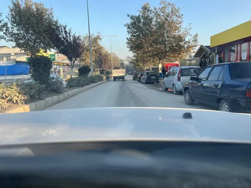
- Street-level photo, Beritank, CC BY-SA 4.0
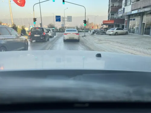
- Street-level photo, Beritank, CC BY-SA 4.0
- Street-level photo, Beritank, CC BY-SA 4.0


Page built November 8, 2026. Spotted a mistake? Tell us or suggest a place.