


Why visit Giresun
Townapedia lists 3 museums and landmarks, 19 parks and trails, 35 places to eat, 16 places to stay and 5 attractions in and around town.
Highlights include Giresun Museum, Ischopolis, Port of Giresun and Çotanak Stadyumu.
Weather in Giresun
Forecast from MET Norway (CC BY 4.0). Full forecast
About Giresun
Giresun (pronounced [giˈɾesun]) is a city in the Black Sea Region of northeastern Turkey, about 175 km (109 mi) west of the city of Trabzon. It is the seat of Giresun Province and Giresun District. It has a population of 125,682 (2022).
From the Wikipedia article Giresun (this version), under CC BY-SA 4.0.
Travel tips from other travellers: Giresun on Wikivoyage (CC BY-SA 4.0).
Things to do5


Museums and landmarks3
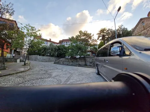

Ischopolis
Monument and historic site · 16.3 km
Ancient city of Pontus, in modern-day Turkey, in modern-day Turkey
Parks, trails and playgrounds19



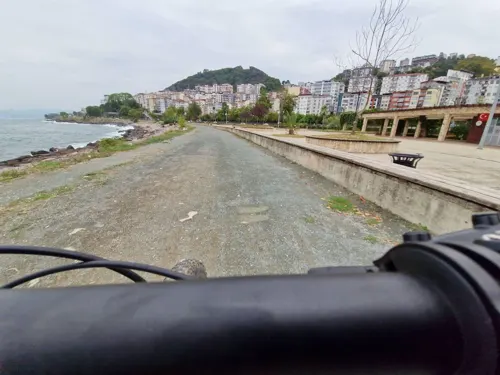

7 more on the map.
Restaurants and cafes35
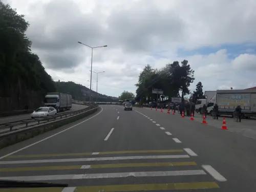
Metro Dinlenme Tesisi Kebir
Cafe · Ice Cream, Steak House, Pancake, Burger, Coffee Shop, Breakfast, Friture, Pasta, Cake, Sandwich, Bagel, Hot Dog, Sausage, Chicken, Turkish · 7.3 km
Ordu-Giresun yolu
24/7
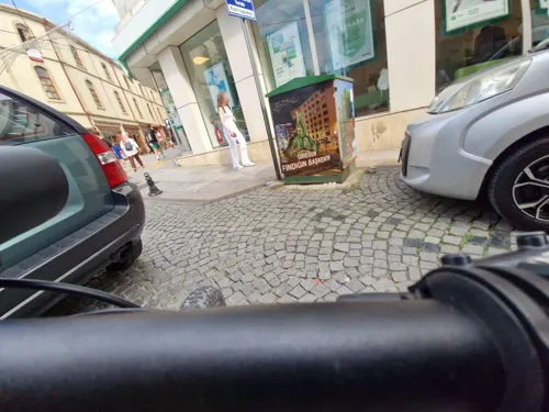




23 more on the map.
History
The city was founded c. 180 BC by Pharnaces I of Pontus, who sent Greek citizens from Kotyora to colonize the area. The name of the city was first cited in the book Anabasis by Xenophon as Kerasus. Historic records reveal that the city was dominated by the Miletians, Persians, Romans, Byzantines and the Empire of Trebizond. The older parts of the city lie on a peninsula crowned by a ruined Byzantine fortress, sheltering the small natural harbor.
Near the city is Giresun Island, which in ancient times was known as Aretias (Greek: Ἀρητιάς) or Island of Ares (Greek: Ἄρεος νῆσος). According to the poetic account of Apollonius of Rhodes, it was there that the Argonauts encountered the Amazons, who had dedicated a temple to the war god Ares there. Even today, a fertility festival is performed there every May, usually involving a famed boulder named the Hamza Stone, which may have been sacred to a Roman stone cult or a Cybele cult.
From the History section of Giresun on Wikipedia, under CC BY-SA 4.0.
Where to stay16
Churches and places of worship18
Shopping13
Gas and EV charging12
Schools, colleges and libraries27
Healthcare99
Map of Giresun
247 places. The map loads OpenStreetMap tiles when you open it.
Getting there and nearby towns
Ordu Giresun Havalimanı (OGU) is the nearest airport with scheduled flights listed in OpenStreetMap, 26 km away.
- Keşap 10 km east, about 10 min by car
- Bulancak 13 km west, about 13 min by car
- Dereli 20 km south, about 20 min by car
- Piraziz 22 km west, about 22 min by car
- Mustafalı 27 km west, about 27 min by car
- Espiye 27 km east, about 27 min by car
- Kestane 27 km west, about 27 min by car
- Turnasuyu 35 km west, about 35 min by car
- Tirebolu 37 km east, about 37 min by car
- Ordu 42 km west, about 42 min by car
Drive times are estimates from straight-line distance, not routes.
Local news
Headlines from INDB.
Reviews, tips and questions
Loading what members have shared...
Sources and licences
- GeoNames (CC BY 4.0): population, coordinates, regions and time zone
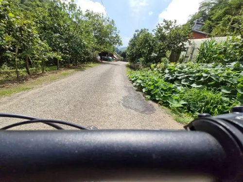
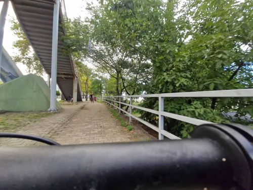
- Mapillary (see each image): photos
- OpenStreetMap contributors (ODbL 1.0): places, airports, map data
- Wikidata (CC0 1.0): elevation, founding date, time zone, website, landmarks and historic places
- Wikimedia Commons (see each image): photos
- Wikipedia (CC BY-SA 4.0): overview and history text
Photo credits
- Giresun Turkey, Dr. Zeynel Cebeci, CC BY-SA 3.0
- Giresun Limanı ve Eve dönüş. - panoramio, hüsamettin_alpaslan, CC BY 3.0
- Giresun Meydanı - panoramio, HuSeYiN, CC BY-SA 3.0
- Giresun Hacı Miktat Cami - panoramio, HuSeYiN, CC BY-SA 3.0
- Giresun Kalesinden Giresun-Doğu Tarafı, Mkadioglu2020, CC BY-SA 4.0
- Giresun Sahil Lunapark - panoramio, HuSeYiN, CC BY-SA 3.0
- Giresun Kalesinden Ada ve Kesap Tarafi - panoramio, HuSeYiN, CC BY-SA 3.0
- Giresun Kalesinden Giresun (Batı Tarafı), Mkadioglu2020, CC BY-SA 4.0
- Giresun Cuma Pazarı - panoramio, HuSeYiN, CC BY-SA 3.0
- Giresun Endüstri Meslek Lisesi - panoramio, HuSeYiN, CC BY-SA 3.0
- Giresun Kent Hastanesi - panoramio, HuSeYiN, CC BY-SA 3.0
- Giresun Özel Kent Hastanesi - panoramio, HuSeYiN, CC BY-SA 3.0
- Giresun Paşa Mehmet Çeşmesi - panoramio, HuSeYiN, CC BY-SA 3.0
- Giresun Alişveriş Merkezi - panoramio, HuSeYiN, CC BY-SA 3.0
- Giresun Merkez Müftülüğü Cami - panoramio - HuSeYiN, HuSeYiN, CC BY-SA 3.0
- Giresun Merkez Müftülüğü Cami - panoramio, HuSeYiN, CC BY-SA 3.0
- Giresun - panoramio, Korkut Tas, CC BY-SA 3.0
- Giresun Pazar Yeri - panoramio, HuSeYiN, CC BY-SA 3.0
- Giresun Batı yakası ve liman - panoramio, hüsamettin_alpaslan, CC BY 3.0
- Giresun doğu yakası - panoramio, hüsamettin_alpaslan, CC BY 3.0
- Giresun Sahil Yolu - panoramio, HuSeYiN, CC BY-SA 3.0
- Giresun Sahil Yolu - panoramio - HuSeYiN, HuSeYiN, CC BY-SA 3.0
- Giresun liman - panoramio, ömer cürgül, CC BY 3.0
- Giresun, Merkez, Sahilde. 9 Şubat 2020, Esginmurat, CC BY-SA 4.0
- Giresun Kalesinden Kesap Tarafi - panoramio, HuSeYiN, CC BY-SA 3.0
- Giresun Alişveriş Merkezi - panoramio - HuSeYiN, HuSeYiN, CC BY-SA 3.0
- Giresun sahilde bir gün batımı görünümü, Esginmurat, CC BY-SA 4.0
- Giresunlimani, Danbury at Turkish Wikipedia, CC BY-SA 3.0
- Mosque of Sheikh Keramettin, Beyoglou, CC BY-SA 4.0
- Kale Cami - panoramio, hüsamettin_alpaslan, CC BY 3.0
- Un Değirmeni - panoramio, HuSeYiN, CC BY-SA 3.0
- Topal Osman Anıtı, Mkadioglu2020, CC BY-SA 4.0
- Karadeniz sahil yolu - panoramio, Yılmaz Kilim, CC BY 3.0
- Yarbay Osman Ağa Anıt mezarı (mausoleum) - panoramio, hüsamettin_alpaslan, CC BY 3.0
- Gemileri yakma^ Sandalla geçemeyeceğin yerler var.(Ships burning^ There are places small boats could not cross.) - panoramio, hüsamettin_alpaslan, CC BY 3.0
- Su sarnıcı (water cistern) - panoramio, hüsamettin_alpaslan, CC BY 3.0
- Tereddüt^ ..(hesitation..) - panoramio, hüsamettin_alpaslan, CC BY 3.0
- Katolik Kilisesi (Roman Catholic Church) - panoramio, hüsamettin_alpaslan, CC BY 3.0
- Başkalarıyla arandaki mesafeyi boşver^ Önemli olan, kendinle arandaki mesafe. - panoramio, hüsamettin_alpaslan, CC BY 3.0
- Taşbaşı Church, Panegyrics of Granovetter, CC BY-SA 2.0
- Street-level photo, Ejderhan, CC BY-SA 4.0
- Street-level photo, Ejderhan, CC BY-SA 4.0
- Street-level photo, Ejderhan, CC BY-SA 4.0
- Street-level photo, Ejderhan, CC BY-SA 4.0
- Street-level photo, Ejderhan, CC BY-SA 4.0
- Street-level photo, Ejderhan, CC BY-SA 4.0
- Street-level photo, healixx, CC BY-SA 4.0
- Street-level photo, 348601, CC BY-SA 4.0
- Street-level photo, healixx, CC BY-SA 4.0
- Street-level photo, healixx, CC BY-SA 4.0
- Street-level photo, Ejderhan, CC BY-SA 4.0
- Street-level photo, Ejderhan, CC BY-SA 4.0
- Street-level photo, Ejderhan, CC BY-SA 4.0
- Street-level photo, Ejderhan, CC BY-SA 4.0
- Street-level photo, Ejderhan, CC BY-SA 4.0
- Street-level photo, Ejderhan, CC BY-SA 4.0
- Street-level photo, Ejderhan, CC BY-SA 4.0
- Street-level photo, Ejderhan, CC BY-SA 4.0
- Street-level photo, Ejderhan, CC BY-SA 4.0


Page built November 8, 2026. Spotted a mistake? Tell us or suggest a place.