


Why visit Güzelçamlı
Townapedia lists 4 museums and landmarks, 2 parks and trails, 8 places to eat and 5 places to stay in and around town.
Highlights include Melia and Panionium.
Weather in Güzelçamlı
Forecast from MET Norway (CC BY 4.0). Full forecast
About Güzelçamlı
Güzelçamlı (also referred to locally as Çamlı for short) is a sea-side neighbourhood of the municipality and district of Kuşadası, Aydın Province, Turkey. Its population is 7,981 (2022). Before the 2013 reorganisation, it was a town (belde). It is an increasingly popular tourist resort.
From the Wikipedia article Güzelçamlı (this version), under CC BY-SA 4.0.
Museums and landmarks4

Melia
Monument and historic site · 1.0 km
Ancient city of Ionia, in modern-day Turkey



Odeon (Bouleuterion)
Monument and historic site · 0.6 km
Greek Theatre / possible use as a bouleuterion (council chamber) by Ionian League; Cavea width: 32 m (horseshoe shaped, exceeds...
Parks, trails and playgrounds2


Restaurants and cafes8
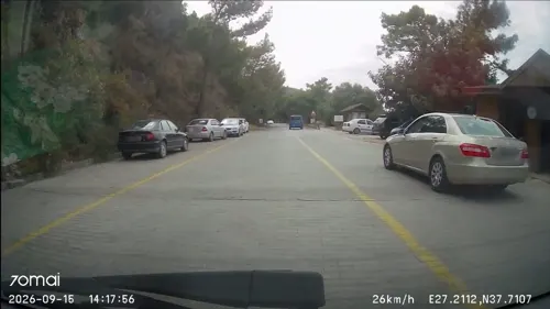
Zeus Restaurant Cafe Beach
Restaurant · Seafood, Breakfast, Fish And Chips, Tea, Juice, Coffee Shop · 1.3 km
242 Milli Park Caddesi, Aydın



Where to stay5

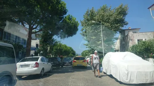

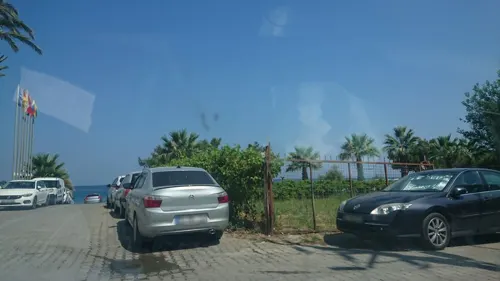
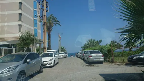


History
The history of Güzelçamlı dates as far back as 700 BC. In the Ionian era, the locality was the convention center of the Ionian city states and was named Panionium. The Ionians had formed a federation consisting of 12 Ionian cities and also held games here to mark their gatherings. During excavations in 1957 and 1958 an antique theater was uncovered, which had 12 rows of seats carved out of rock. Many famous battles were fought in this area, including the Battle of Mycale between the Greek and Persian forces.
During the Ottoman period, the town was often called Rumçamlısı (Greek Çamlı) or Tsagli (Τσαγκλι) and was entirely populated by Greeks. In the last phase of the Greco-Turkish War (1919-1922) (on 7 September 1922), with the Turkish army approaching, the town population had fled by boats and took refuge in the nearby island of Samos , after which the town had remained empty for about two years. In 1924, it has been re-populated by Turks from Leftere, near Kavala, under the scope of the population exchange between Greece and Turkey. The settlement's name was changed to Güzelçamlı, and after having had the status of a village for seventy years, Güzelçamlı was declared a township with its own municipality in 1992.
From the History section of Güzelçamlı on Wikipedia, under CC BY-SA 4.0.
Shopping7
Healthcare1
Kuşadası Devlet Hastanesi Güzel Çamlı Semt Polikliniği
Clinic and pharmacy · 0.8 km
Map of Güzelçamlı
27 places. The map loads OpenStreetMap tiles when you open it.
Getting there and nearby towns
Selçuk-Efes Havaalanı (IZM) is the nearest airport with scheduled flights listed in OpenStreetMap, 28 km away.
- Güllübahçe 10 km southeast, about 10 min by car
- Söke 16 km east, about 16 min by car
- Kuşadası 17 km north, about 17 min by car
- Selçuk 29 km northeast, about 29 min by car
- Özdere 35 km north, about 35 min by car
- Didim 37 km south, about 37 min by car
- Koçarlı 42 km east, about 42 min by car
- İncirliova 46 km east, about 46 min by car
- Torbalı 53 km north, about 53 min by car
- Aydın 56 km east, about 56 min by car
Drive times are estimates from straight-line distance, not routes.
Local news
Headlines from INDB.
Reviews, tips and questions
Loading what members have shared...
Sources and licences
- GeoNames (CC BY 4.0): population, coordinates, regions and time zone
- Mapillary (see each image): photos
- OpenStreetMap contributors (ODbL 1.0): places, airports, map data
- Wikidata (CC0 1.0): elevation, founding date, time zone, website, landmarks and historic places
- Wikimedia Commons (see each image): photos
- Wikipedia (CC BY-SA 4.0): overview and history text
Photo credits
- Güzelçamlı, Kuşadası-Aydın Province, Turkey - panoramio (2), ENVER İNAL, CC BY-SA 3.0
- Güzelçamlı Marina, Kadı Kadı, CC BY 2.0
- Kuşadası Güzelçamlı plaj, Halilkozluca, CC0
- Panionium theatre, Isabeau, CC BY-SA 4.0
- Detail Amasis Painter Cdm Paris 222, Amasis, signed (potter); Amasis Painter, Public domain
- Mykali, Niksal84, CC BY-SA 4.0
- Zeus Caves, Kusadasi, Turke, Selinguler at English Wikipedia, Public domain
- Büyük Menderes Deltası Milli Parkı, Iremelmaz, CC BY-SA 4.0
- Güzelcamli Samos Boot Tour 2008 (sabah erken vakti) - panoramio, Nihat1988, CC BY 3.0
- Sabah erken vakti (güzelcamli liman önü) - panoramio, Nihat1988, CC BY 3.0
- Güzelcamli liman önü 2008 (sabah) - panoramio, Nihat1988, CC BY 3.0
- Ready 4 Samos boot tour -) - panoramio, Nihat1988, CC BY 3.0
- Samos Boot tour starts (basliyor) -) - panoramio, Nihat1988, CC BY 3.0
- Güzelcamli manzara (güzelcamli view) - panoramio, Nihat1988, CC BY 3.0
- Güzelcamli (Samos Boot Tour 2008) - panoramio, Nihat1988, CC BY 3.0
- Milli Park & Samos Boot Tour 2008 01 - panoramio, Nihat1988, CC BY 3.0
- Dilek yarımadasında sıradışı bir gün batımı, Uuraymaz, CC BY-SA 4.0
- Milli Park & Samos Boot Tour 2008 02 - panoramio, Nihat1988, CC BY 3.0
- Milli park ormanlar - panoramio, Nihat1988, CC BY 3.0
- Milli Park cam agaclari -) - panoramio, Nihat1988, CC BY 3.0
- Milli park orman - panoramio, Nihat1988, CC BY 3.0
- Wild Hogs - panoramio, rahimabaid, CC BY-SA 3.0
- Milli Park & Samos Boot Tour 2008 03 - panoramio, Nihat1988, CC BY 3.0
- Milli Park & Samos Boot Tour 2008 04 - panoramio, Nihat1988, CC BY 3.0
- Street-level photo, kubikanber, CC BY-SA 4.0
- Street-level photo, kubikanber, CC BY-SA 4.0
- Street-level photo, kubikanber, CC BY-SA 4.0
- Street-level photo, doriel, CC BY-SA 4.0
- Street-level photo, kubikanber, CC BY-SA 4.0


_-_panoramio.jpg)
_-_panoramio.jpg)


_-_panoramio.jpg)


Page built November 8, 2026. Spotted a mistake? Tell us or suggest a place.