
Why visit Karayün
Townapedia lists 1 park or trail and 8 places to eat in and around town.
Weather in Karayün
Forecast from MET Norway (CC BY 4.0). Full forecast
About Karayün
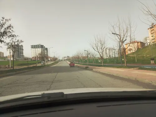
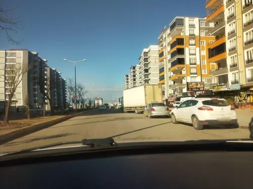
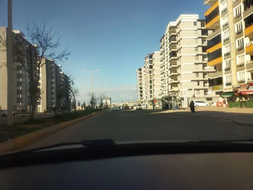
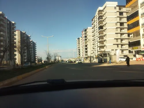
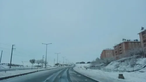
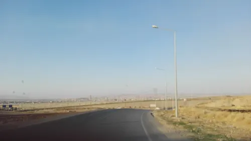
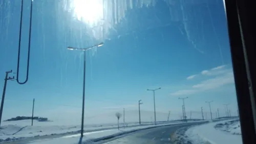
Karayün (Kurdish: Koxikan) is a village in the Batman District of Batman Province in Turkey. The village is populated by Kurds of the Receban tribe and had a population of 1,025 in 2021.
From the Wikipedia article Karayün, Batman (this version), under CC BY-SA 4.0.
Parks, trails and playgrounds1

Restaurants and cafes8
Ciğerci Bahattin Bey
Restaurant · 2.4 km
2/A Batman Üniversitesi Bulvarı

Churches and places of worship6

Shopping4

Schools, colleges and libraries11
Raman İman Hatip Ortaokulu
School · 2.1 km
47 Batman Üniversitesi Bulvarı, Batman
Healthcare3
12 Nolu Kuyubaşı Aile Sağlığı Merkezi
Clinic and pharmacy · 2.4 km
3 Berfin Caddesi, Batman
Map of Karayün
33 places. The map loads OpenStreetMap tiles when you open it.
Getting there and nearby towns
14. İnsansız Uçak Sistemleri Üs Komutanlığı Askeri Havaalanı (BAL) is the nearest airport with scheduled flights listed in OpenStreetMap, 10 km away.
- Erköklü 4 km northeast, about 4 min by car
- Batman 6 km north, about 6 min by car
- Balpınar 6 km northwest, about 6 min by car
- Akça 6 km east, about 6 min by car
- Midyat 50 km southeast, about 50 min by car
- Mardin 67 km southwest, about 1 h by car
- Siirt 73 km east, about 1 h 15 min by car
- Diyarbakır 79 km west, about 1 h 15 min by car
- Kızıltepe 86 km southwest, about 1 h 30 min by car
- Nusaybin 85 km south, about 1 h 30 min by car
Drive times are estimates from straight-line distance, not routes.
Local news
Headlines from INDB.
Reviews, tips and questions
Loading what members have shared...
Sources and licences
- GeoNames (CC BY 4.0): population, coordinates, regions and time zone
- Mapillary (see each image): photos
- OpenStreetMap contributors (ODbL 1.0): places, airports, map data
- Wikidata (CC0 1.0): elevation, founding date, time zone, website
- Wikipedia (CC BY-SA 4.0): overview and history text
Photo credits
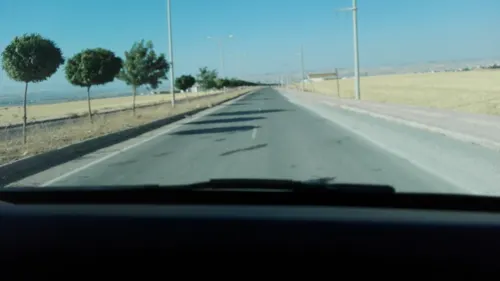
- Street-level photo, nesim, CC BY-SA 4.0
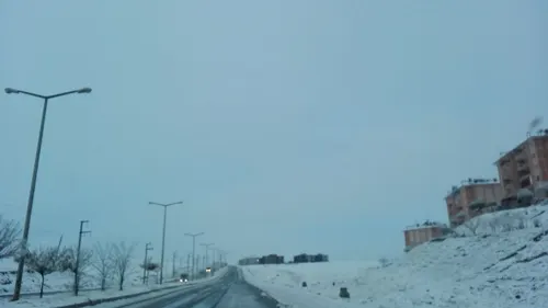
- Street-level photo, nesim, CC BY-SA 4.0
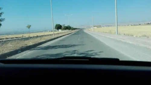
- Street-level photo, nesim, CC BY-SA 4.0
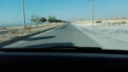
- Street-level photo, nesim, CC BY-SA 4.0
- Street-level photo, nesim, CC BY-SA 4.0
- Street-level photo, nesim, CC BY-SA 4.0
- Street-level photo, nesim, CC BY-SA 4.0
- Street-level photo, nesim, CC BY-SA 4.0
- Street-level photo, nesim, CC BY-SA 4.0
- Street-level photo, nesim, CC BY-SA 4.0
- Street-level photo, nesim, CC BY-SA 4.0
Page built November 8, 2026. Spotted a mistake? Tell us or suggest a place.