


Why visit Kars
Townapedia lists 12 museums and landmarks, 5 parks and trails, 28 places to eat, 20 places to stay and 1 attraction in and around town.
Highlights include Taşköprü, Kars Castle and Kars Museum.
Weather in Kars
Forecast from MET Norway (CC BY 4.0). Full forecast
About Kars
Kars is a city in northeast Turkey. It is the seat of Kars Province and Kars District. As of 2022, its population was 91,450. Kars, in classical historiography (Strabo), was in the ancient region known as Chorzene (Greek: Χορζηνή), part of the province of Ayrarat in the Kingdom of Armenia, and later the capital of the Bagratid kingdom of Armenia from 929 to 961.
From the Wikipedia article Kars (this version), under CC BY-SA 4.0.
Travel tips from other travellers: Kars on Wikivoyage (CC BY-SA 4.0).
Things to do1

Museums and landmarks12




İlbeyoğlu Muradiye Baths
Monument and historic site · 1.6 km
Şehit Celal Baba Caddesi


Parks, trails and playgrounds5


Restaurants and cafes28



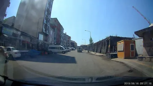


16 more on the map.
Where to stay20
Işıl Park Hotel
Motel and hotel · 1.1 km
150 Gazi Ahmet Muhtar Paşa Caddesi, Kars
Churches and places of worship14
Shopping18
Gas and EV charging2
Schools, colleges and libraries12
Healthcare6
Map of Kars
118 places. The map loads OpenStreetMap tiles when you open it.
Getting there and nearby towns
Kars Harakani Airport (KSY) is the nearest airport with scheduled flights listed in OpenStreetMap, 5 km away.
- Çakmak 6 km northwest, about 6 min by car
- Cumhuriyet 7 km southwest, about 7 min by car
- Kümbetli 9 km southwest, about 9 min by car
- Derecik 11 km east, about 11 min by car
- Olçulu 14 km east, about 14 min by car
- Dikme 14 km southwest, about 14 min by car
- Yalınkaya 15 km east, about 15 min by car
- İncesu 16 km north, about 16 min by car
- Halefoğlu 18 km east, about 18 min by car
- Sarıkamış 52 km southwest, about 52 min by car
Drive times are estimates from straight-line distance, not routes.
Local news
Headlines from INDB.
Reviews, tips and questions
Loading what members have shared...
Sources and licences
- GeoNames (CC BY 4.0): population, coordinates, regions and time zone
- Mapillary (see each image): photos
- OpenStreetMap contributors (ODbL 1.0): places, airports, map data
- Wikidata (CC0 1.0): elevation, founding date, time zone, website, landmarks and historic places
- Wikimedia Commons (see each image): photos
- Wikipedia (CC BY-SA 4.0): overview and history text
Photo credits
- Kars Panorama, Bjørn Christian Tørrissen, CC BY-SA 3.0
- 20110419 Tas Kopru bridge Kars Turkey Panorama, Ggia, CC BY-SA 3.0
- Kars museum, Turkey 02, Jaba1977, CC BY-SA 4.0
- Kars, armenische Kathedrale, Heilige-Apostel-Kirche Սուրբ Առաքելոց Եկեղեցի (10. Jhdt.) (40336376592), Herbert Frank from Wien (Vienna), AT, CC BY 2.0
- Kars, castello, veduta 01, Francesco Bini, CC BY-SA 4.0
- Fəthiyyə məscidi Qars (2), Rəcəb Yaxşı, CC BY-SA 4.0
- Çeltikovun sarayı Qars (1), Rəcəb Yaxşı, CC BY-SA 4.0
- Alpərənlər türbəsi və Qars qalası, Rəcəb Yaxşı, CC BY-SA 4.0
- Muradiyyə hamamı, Rəcəb Yaxşı, CC BY-SA 4.0
- Kars Armenian Cathedral, Yerevantsi, CC BY-SA 4.0
- Fethiye Mosque - Built as Barracks for Cossacks in Tribute to Alexander Nevsky - Kars - Russia - 01 (5814559997), Adam Jones from Kelowna, BC, Canada, CC BY-SA 2.0
- Aleksandr Pushkin Restaurant - iç mekan, Ozlmktv, CC BY-SA 4.0
- Street-level photo, healixx, CC BY-SA 4.0
- Street-level photo, healixx, CC BY-SA 4.0
- Street-level photo, healixx, CC BY-SA 4.0
- Street-level photo, healixx, CC BY-SA 4.0


Page built November 8, 2026. Spotted a mistake? Tell us or suggest a place.