

Why visit Keşan
Townapedia lists 4 museums and landmarks, 11 parks and trails, 17 places to eat and 7 places to stay in and around town.
Highlights include Keşan Kent Müzesi and Eski Mahkeme Binası.
Weather in Keşan
Forecast from MET Norway (CC BY 4.0). Full forecast
About Keşan
Keşan (Turkish: [ˈceʃan]; Bulgarian: Кешан; Greek: Κεσσάνη; Byzantine Greek: Ρούσιον, Rusion) is a town in Edirne Province, Turkey. It is the seat of Keşan District. Its population is 64,842 (2022). In the summer its population increases because of an influx of tourists.
From the Wikipedia article Keşan (this version), under CC BY-SA 4.0.
Travel tips from other travellers: Keşan on Wikivoyage (CC BY-SA 4.0).
Museums and landmarks4


Parks, trails and playgrounds11


Restaurants and cafes17




5 more on the map.
Where to stay7


History
Humans have lived there continuously since the 30th century BC. The first inhabitants were the Neolithic peoples and later the Thracians. Many Thracian coins of the Odrysians have been found near Keşan. The city was first attested in 580 BC as part of the Odrysian kingdom of Thrace and then came under the rule of the Persian Empire, the Macedonian Empire, the Roman Empire (including i.е. Byzantine Empire), the Bulgarian Empire, the Byzantine Empire, the Latin Empire, again the Bulgarian Empire and the Byzantine Empire.
Rusion did not easily fall to the Ottoman Turks. In 1359, the fortress was first held for a short time by Gazi Süleyman Paşa before being permanently annexed by Lala Şahin Paşa in 1362. Under the Ottoman Empire, Rusion was renamed to Rusköy (tur. Rus village), a name derived from the medieval fortress-town, and later to Keşan (from gr. Kissos, Kissupolis). Keşan belonged to the Galipoli Sanjak, and as such was part of the Rumelia Eyalet and then the Province of the Kapudan Pasha. It was a nahiya center in Enez kaza at first, later it was bound to İpsala kaza. It was transferred to the Eyalet of Edirne in 1530. According to the Ottoman population statistics of 1914, the kaza of Keşan had a total population of 30,644, consisting of 15.371 Orthodox Christians, 15.221 Muslims, 51 Armenians and 1 Jew.
From the History section of Keşan on Wikipedia, under CC BY-SA 4.0.
Churches and places of worship8
Shopping18
Byberk Event & Organizasyon
Shopping center · 2.4 km
1 Edirne - Çanakkale Yolu, Edirne
Gas and EV charging12
Schools, colleges and libraries19
Healthcare33
Deniz Pharmacy
Clinic and pharmacy · 0.8 km
25/A Mithat Gücüyeter Caddesi, Edirne
H. Kale 4 Nolu Aile Sağlığı Merkezi
Clinic and pharmacy · 0.8 km
31 Mithat Gücüyeter Caddesi, Edirne
Map of Keşan
129 places. The map loads OpenStreetMap tiles when you open it.
Getting there and nearby towns
Çanakkale Airport (CKZ) is the nearest airport with scheduled flights listed in OpenStreetMap, 82 km away.
- Yaylagöne 12 km northeast, about 12 min by car
- Hacıköy 15 km northwest, about 15 min by car
- Kocahıdır 20 km west, about 20 min by car
- Turpçular 19 km northwest, about 19 min by car
- Malkara 23 km east, about 23 min by car
- İpsala 22 km west, about 22 min by car
- Lapseki 57 km south, about 57 min by car
- Tekirdağ 75 km east, about 1 h 15 min by car
- Çanakkale 80 km south, about 1 h 15 min by car
- Lüleburgaz 86 km northeast, about 1 h 30 min by car
Drive times are estimates from straight-line distance, not routes.
Local news
Headlines from INDB.
Reviews, tips and questions
Loading what members have shared...
Sources and licences
- GeoNames (CC BY 4.0): population, coordinates, regions and time zone
- Mapillary (see each image): photos
- OpenStreetMap contributors (ODbL 1.0): places, airports, map data
- Wikidata (CC0 1.0): elevation, founding date, time zone, website
- Wikimedia Commons (see each image): photos
- Wikipedia (CC BY-SA 4.0): overview and history text
Photo credits
- Kesan Turkey, Julian Nyča, CC BY-SA 4.0
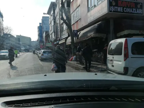
- Street-level photo, sefaonur, CC BY-SA 4.0
- Street-level photo, sefaonur, CC BY-SA 4.0
- Street-level photo, sefaonur, CC BY-SA 4.0
- Street-level photo, sefaonur, CC BY-SA 4.0
- Street-level photo, sefaonur, CC BY-SA 4.0
- Street-level photo, sefaonur, CC BY-SA 4.0
- Street-level photo, sefaonur, CC BY-SA 4.0
- Street-level photo, doriel, CC BY-SA 4.0
- Street-level photo, doriel, CC BY-SA 4.0
- Street-level photo, sefaonur, CC BY-SA 4.0
- Street-level photo, ramses, CC BY-SA 4.0
Page built November 8, 2026. Spotted a mistake? Tell us or suggest a place.