


Why visit Ölüdeniz
Townapedia lists 41 museums and landmarks, 21 parks and trails, 234 places to eat, 108 places to stay and 11 attractions in and around town.
Highlights include Kızılada Feneri, Ari, Gemiler Island and Kalabantia.
Weather in Ölüdeniz
Forecast from MET Norway (CC BY 4.0). Full forecast
About Ölüdeniz
Ölüdeniz (literally "Dead Sea", due to its calm waters even during storms; official translation: Blue Lagoon) is a town of the municipality and district of Fethiye, Muğla Province, Turkey. Its population is 6,132 (2022). Before the 2013 reorganisation, it was a town (belde). It is a beach resort on the Turkish Riviera, at the conjunction point of the Aegean and Mediterranean seas.
From the Wikipedia article Ölüdeniz (this version), under CC BY-SA 4.0.
Travel tips from other travellers: Ölüdeniz on Wikivoyage (CC BY-SA 4.0).
Things to do11




Museums and landmarks41


Kalabantia
Monument and historic site · 15.3 km
Ancient city of Lycia in modern-day Turkey

Letoon trilingual
Monument and historic site · 6.7 km
Trilingual Lycian stele from the Xanthos-Letoon UNESCO World Heritage Site

Pinara
Monument and historic site · 13.2 km
Large ancient city of Lycia


Sidyma
Monument and historic site · 17.9 km
Ancient city of Lycia in modern-day Turkey

Telmessos
Monument and historic site · 6.2 km
Ancient city of Lycia in modern-day Turkey

Tomb of Amyntas
Monument and historic site · 6.2 km
Mountainside tomb in Fethiye, Aegean Turkey


29 more on the map.
Parks, trails and playgrounds21



Ece marina
Marina and boat launch · 7.4 km
Karagözler, Fevzi Çakmak Cd., 48300 Fethiye/Muğla, Турция


9 more on the map.
Restaurants and cafes234

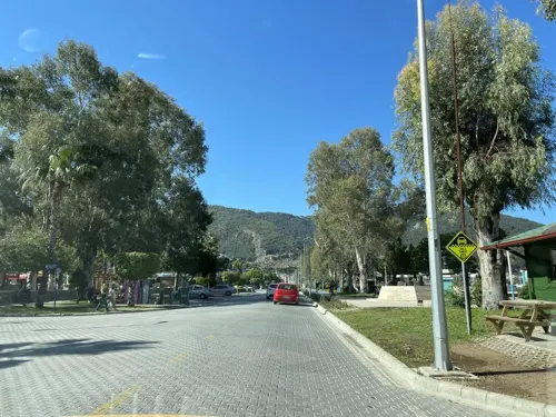
Trio Cafe
Cafe · Italian, Italian Pizza, Pancake, Pasta · 7.3 km
3 Sadi Berkman Caddesi
Mo-Sa 10:00-00:00; Su 11:00-00:00
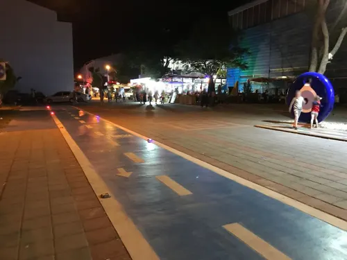
Address Restaurant Cafe & Bar
Restaurant · Burger, Pizza, Coffee Shop, Chicken, Chinese, Italian, Sandwich, Steak House, Seafood, Kebab, Greek · 7.0 km
9, Muğla
08:00-02:00
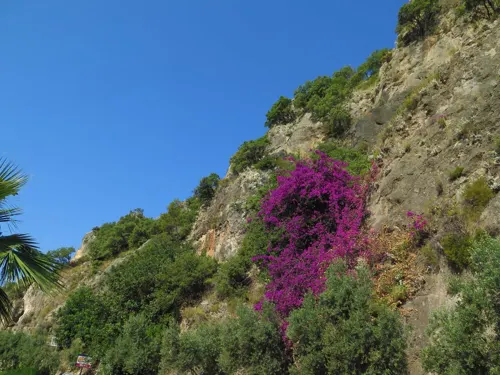
Buzz Beach Bar
Restaurant · International, Mediterranean, Pasta, Pizza, Seafood, Turkish · 3.0 km
Denizpark Caddesi
Golden Wok
Restaurant · Chinese · 0.8 km
18 Cumhuriyet Caddesi, MUĞLA
15:00 -22:00
Pan Restaurant Kayaköy
Restaurant · Turkish · 4.8 km
63/B Keçiler sokak, Fethiye
Mo-Su,PH 09:00-23:00
Abrahkebabrah
Restaurant · 0.6 km
4 Cumhuriyet Caddesi, Ölüdeniz
Mo-Su 09:00-01:00
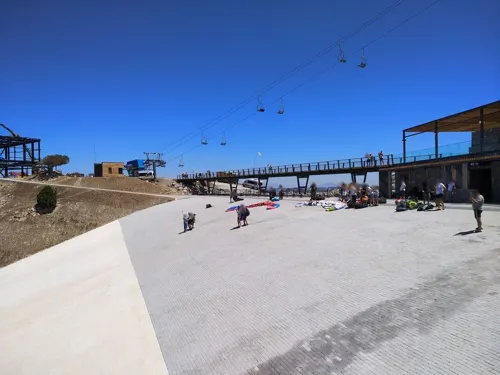
Bella Gusto
Restaurant · Fish, Grill, Italian, Italian Pizza, Kebab, Pasta, Pizza · 3.0 km


222 more on the map.
Where to stay108
Churches and places of worship12
Shopping77
Gas and EV charging7
Schools, colleges and libraries10
Healthcare39
Map of Ölüdeniz
250 places. The map loads OpenStreetMap tiles when you open it.
Getting there and nearby towns
Dalaman Airport (DLM) is the nearest airport with scheduled flights listed in OpenStreetMap, 36 km away.
- Fethiye 8 km north, about 8 min by car
- Göcek 27 km northwest, about 27 min by car
- Dalaman 38 km northwest, about 38 min by car
- Kalkan 41 km southeast, about 41 min by car
- Ortaca 45 km northwest, about 45 min by car
- Dalyan 54 km northwest, about 54 min by car
- Kaş 60 km southeast, about 1 h by car
- Elmalı 71 km east, about 1 h 15 min by car
- Marmaris 84 km northwest, about 1 h 30 min by car
- İçmeler 86 km west, about 1 h 30 min by car
Drive times are estimates from straight-line distance, not routes.
Local news
Headlines from INDB.
Reviews, tips and questions
Loading what members have shared...
Sources and licences
- GeoNames (CC BY 4.0): population, coordinates, regions and time zone
- Mapillary (see each image): photos
- OpenStreetMap contributors (ODbL 1.0): places, airports, map data
- Wikidata (CC0 1.0): elevation, founding date, time zone, website, landmarks and historic places
- Wikimedia Commons (see each image): photos
- Wikipedia (CC BY-SA 4.0): overview and history text
Photo credits
- Oludeniz, Dan Taylor, CC BY 2.0
- Ölüdeniz Village - 2014.10 - panoramio, rheins, CC BY 3.0
- Ölüdeniz - panoramio, osmanm, CC BY 3.0
- View from the lycian way near Ölüdeniz 2021-11-05-1, Alexey Komarov, CC BY-SA 4.0
- View from the lycian way near Ölüdeniz 2021-11-05-2, Alexey Komarov, CC BY-SA 4.0
- View from the lycian way near Ölüdeniz 2021-11-05-3, Alexey Komarov, CC BY-SA 4.0
- Ölüdeniz 6658, User:Darwinek, CC BY-SA 3.0
- Paragliding over Ölüdeniz Beach - 2014.10 - panoramio, rheins, CC BY 3.0
- Ölüdeniz uzaktan, Thecatcherintherye, CC BY-SA 4.0
- Overlooing Ölüdeniz Beach - 2014.10 - panoramio, rheins, CC BY 3.0
- Likya Yolu'ndan Ölüdeniz, Thecatcherintherye, CC BY-SA 4.0
- Ölüdeniz Dağları... - panoramio, Sinan Şahin, CC BY 3.0
- The Gulf of Fethiye. Kizilada Restaurant and Kızılada Feneri, Николай Максимович, CC BY 3.0
- Gemiler Adası kalıntıları, Cobija, CC0
- Letoon stele, Panegyrics of Granovetter, CC BY-SA 2.0
- Pinara Amphitheatre Fethiye Mugla Turkiye, Osmanyaylali, CC BY-SA 3.0
- Sidima antik kenti, Korel aydoğdu, CC BY-SA 4.0
- Tomb of Amyntas 2020-03-15-2, Alexey Komarov, CC BY-SA 4.0
- Amynthas rock tomb August 2011, Johnragla, CC BY-SA 3.0
- Ghost town Kayakoy IMGP8857, Nikodem Nijaki, CC BY-SA 3.0
- Ликийская тропа около Олюдениза, Exelentz, CC BY-SA 4.0
- Paragliding near Parascending, Oludeniz, Turkey 05-2004, Dan Taylor from London, UK, CC BY 2.0
- Fethiye Archaeological Museum - 2, Harald the Bard, CC BY-SA 4.0
- Tomb of Amyntas, No machine-readable author provided. Jedyooo assumed (based on copyright claims)., CC BY-SA 2.5
- The Lycian Way - 2014.10 - panoramio, rheins, CC BY 3.0
- Veronica persica 115326731, Anastasiia Merkulova, CC BY 4.0
- Cennet Hotel... - panoramio, Sinan Şahin, CC BY 3.0
- Havuz ve Bahçe... - panoramio, Sinan Şahin, CC BY 3.0
- Hisarönü Meydan... - panoramio, Sinan Şahin, CC BY 3.0
- Anatololacerta pelasgiana, Thibaud Aronson ( https://www.inaturalist.org/people/thibaudaronson ), CC BY-SA 4.0
- Barlar Sokağı Girişi... - panoramio, Sinan Şahin, CC BY 3.0
- Hisaronu (1092334240), allen watkin from London, UK, CC BY-SA 2.0
- Start Point of the Lycian Way - 2014.10 - panoramio, rheins, CC BY 3.0
- Mosque (1091506641), allen watkin from London, UK, CC BY-SA 2.0
- Hisarönü Barlar Sokağı... - panoramio, Sinan Şahin, CC BY 3.0
- Fritillaria forbesii 115445395, Anastasiia Merkulova, CC BY 4.0
- Muğla-Fethiye'de gökyüzünde paraşütçüler ve çatısı çiçek kaplı ev manzarası, Nuri0855, CC BY-SA 4.0
- Paragliding view oludeniz - panoramio (4), Andrzej Szkopiński, CC BY 3.0
- The Lycian Way - 2014.10 - panoramio (1), rheins, CC BY 3.0
- Hotel oludeniz resort - panoramio (9), Andrzej Szkopiński, CC BY 3.0
- Street-level photo, exetis, CC BY-SA 4.0
- Street-level photo, hind, CC BY-SA 4.0
- Street-level photo, asturksever, CC BY-SA 4.0
- Street-level photo, mesut, CC BY-SA 4.0
- Street-level photo, svhelden, CC BY-SA 4.0
- Street-level photo, asturksever, CC BY-SA 4.0
- Street-level photo, cos65, CC BY-SA 4.0
- Street-level photo, exetis, CC BY-SA 4.0
- Street-level photo, exetis, CC BY-SA 4.0
- Street-level photo, doriel, CC BY-SA 4.0
- Street-level photo, mesut, CC BY-SA 4.0


Page built November 8, 2026. Spotted a mistake? Tell us or suggest a place.