
Why visit Örencik
Townapedia lists 1 museum or landmark, 13 parks and trails, 75 places to eat, 34 places to stay and 2 attractions in and around town.
Highlights include Gölbaşı Şehir Parkı.
Weather in Örencik
Forecast from MET Norway (CC BY 4.0). Full forecast
About Örencik
Örencik is a neighbourhood in the municipality and district of Gölbaşı, Ankara Province, Turkey. Its population is 1,074 (2022).
From the Wikipedia article Örencik, Gölbaşı (this version), under CC BY-SA 4.0.
Things to do2

Museums and landmarks1

Parks, trails and playgrounds13
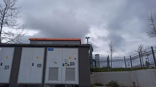


1 more on the map.
Restaurants and cafes75
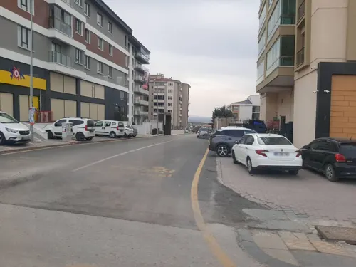
Eymir Deluxe Aspava
Restaurant · Kebab, Turkish · 1.0 km
Cumhuriyet Caddesi
Mo-Su 09:00-23:00

Botanik Café
Cafe · 1.3 km
Kampüs İçi Yolu
Mo-Fr 08:00-00:00; Sa 10:00-00:00; Su 11:00-00:00
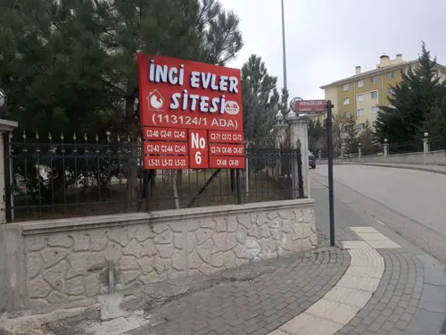
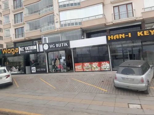

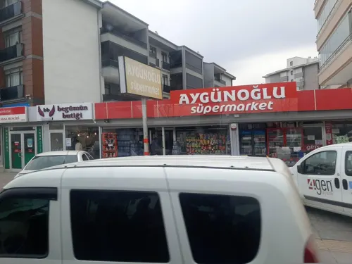
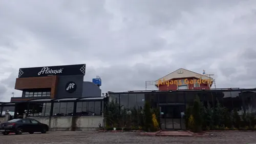

63 more on the map.
Where to stay34
Churches and places of worship9
Shopping19
Schools, colleges and libraries19
Healthcare27
Map of Örencik
199 places. The map loads OpenStreetMap tiles when you open it.
Getting there and nearby towns
Ankara Airport (ANK) is the nearest airport with scheduled flights listed in OpenStreetMap, 23 km away.
- Gölbaşı 2 km northwest, about 2 min by car
- Ankara 16 km north, about 16 min by car
- Çankaya 16 km north, about 16 min by car
- Akyurt 45 km northeast, about 45 min by car
- Çubuk 54 km north, about 54 min by car
- Kırıkkale 58 km east, about 58 min by car
- Kalecik 60 km northeast, about 1 h by car
- Polatlı 63 km west, about 1 h by car
- Kulu 79 km south, about 1 h 15 min by car
- Kızılcahamam 78 km north, about 1 h 15 min by car
Drive times are estimates from straight-line distance, not routes.
Local news
Headlines from INDB.
Reviews, tips and questions
Loading what members have shared...
Sources and licences
- GeoNames (CC BY 4.0): population, coordinates, regions and time zone
- Mapillary (see each image): photos
- OpenStreetMap contributors (ODbL 1.0): places, airports, map data
- Wikidata (CC0 1.0): elevation, founding date, time zone, website
- Wikipedia (CC BY-SA 4.0): overview and history text
Photo credits
- Street-level photo, BeronTheColossus, CC BY-SA 4.0
- Street-level photo, justamap, CC BY-SA 4.0
- Street-level photo, BeronTheColossus, CC BY-SA 4.0
- Street-level photo, BeronTheColossus, CC BY-SA 4.0
- Street-level photo, okansafak, CC BY-SA 4.0
- Street-level photo, BeronTheColossus, CC BY-SA 4.0
- Street-level photo, BeronTheColossus, CC BY-SA 4.0
- Street-level photo, justamap, CC BY-SA 4.0
- Street-level photo, BeronTheColossus, CC BY-SA 4.0
- Street-level photo, BeronTheColossus, CC BY-SA 4.0
- Street-level photo, BeronTheColossus, CC BY-SA 4.0
- Street-level photo, BeronTheColossus, CC BY-SA 4.0
Page built November 8, 2026. Spotted a mistake? Tell us or suggest a place.