


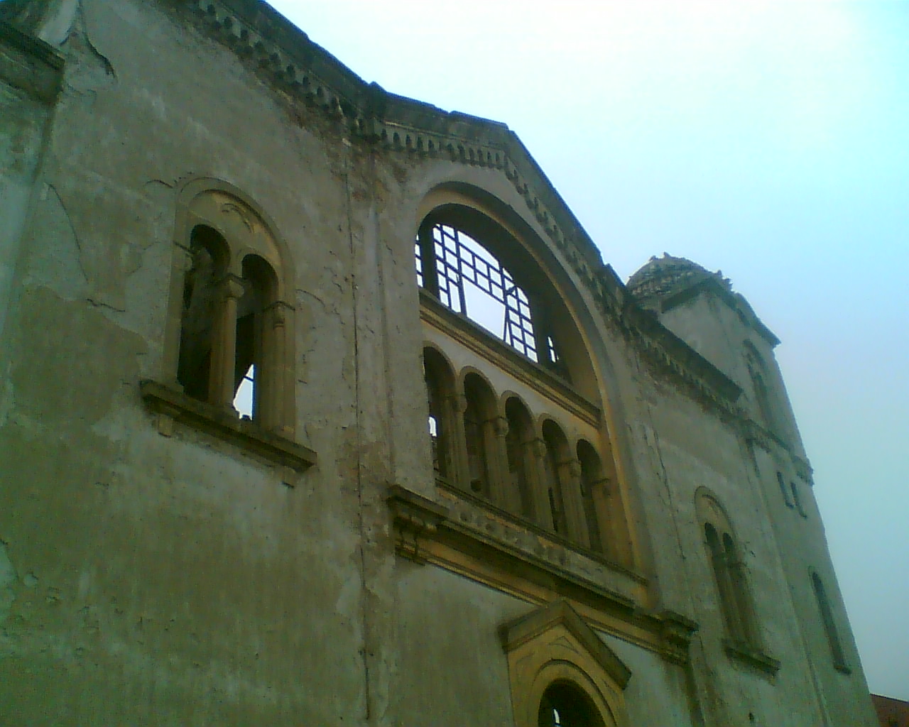

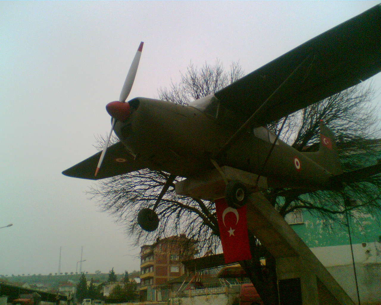

Why visit Osmaneli
Townapedia lists 1 museum or landmark, 2 places to eat and 3 places to stay in and around town.
Weather in Osmaneli
Forecast from MET Norway (CC BY 4.0). Full forecast
About Osmaneli
Osmaneli is a town in Bilecik Province in the Marmara region of Turkey. It is the seat of Osmaneli District and has a population of 16,192 (2021). Its neighbours are Pamukova from north, Geyve from north-east, Gölpazarı from south-east, Bilecik from south, Yenişehir from south-west and İznik from west.
From the Wikipedia article Osmaneli (this version), under CC BY-SA 4.0.
Travel tips from other travellers: Osmaneli on Wikivoyage (CC BY-SA 4.0).
Museums and landmarks1

Restaurants and cafes2


Where to stay3
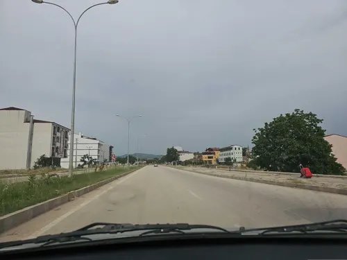



Osmaneli By Asım Azapoğlu Butik Otel
Motel and hotel
12 Şehit Ömer Halisdemir Sokak, Osmaneli
Churches and places of worship3

History
Leukai was a town located on the road from Nicaea to Dorylaion and thus part of both the Byzantine Military Road and the Pilgrim's Road, the land route taken typically by Christian pilgrims to the Holy Land. The town was then conquered from the Byzantine Empire by the Ottomans in 1313. Turks and Rums (Anatolian Greeks) lived here together until the War of Independence after which also the name of the town was changed from Lefke to Osmaneli.
From the History section of Osmaneli on Wikipedia, under CC BY-SA 4.0.
Gas and EV charging1
Schools, colleges and libraries8
Healthcare7
Map of Osmaneli
25 places. The map loads OpenStreetMap tiles when you open it.
Getting there and nearby towns
Bursa Yenişehir Airport (YEI) is the nearest airport with scheduled flights listed in OpenStreetMap, 40 km away.
- Çerkeşli 10 km northwest, about 10 min by car
- Vezirhan 13 km south, about 13 min by car
- Hisarcık 14 km northwest, about 14 min by car
- İzmit 46 km north, about 46 min by car
- Derince 48 km north, about 48 min by car
- İnegol 53 km southwest, about 53 min by car
- Adapazarı 57 km northeast, about 57 min by car
- Gebze 70 km northwest, about 1 h 15 min by car
- Eskişehir 78 km southeast, about 1 h 15 min by car
- Bursa 83 km west, about 1 h 30 min by car
Drive times are estimates from straight-line distance, not routes.
Local news
Headlines from INDB.
Reviews, tips and questions
Loading what members have shared...
Sources and licences
- GeoNames (CC BY 4.0): population, coordinates, regions and time zone
- Mapillary (see each image): photos
- OpenStreetMap contributors (ODbL 1.0): places, airports, map data
- Wikidata (CC0 1.0): elevation, founding date, time zone, website
- Wikimedia Commons (see each image): photos
- Wikipedia (CC BY-SA 4.0): overview and history text
Photo credits
- 11500 Osmaneli-Bilecik, Turkey - panoramio (5), MERMERCİ ÖZGÜR1, CC BY 3.0
- Osmaneli kilise - panoramio, yunusozvurak, CC BY-SA 3.0
- Kilise ( osmaneli - panoramio, yunusozvurak, CC BY-SA 3.0
- Yol şantiyesi osmaneli - panoramio, yunusozvurak, CC BY-SA 3.0
- Ilk uçak postası - panoramio, yunusozvurak, CC BY-SA 3.0
- KAPULU MALİKANESİ - panoramio, H.Sefa SEYREK, CC BY-SA 3.0
- Scholastikia Baths in Ephesus Turkey, Hugh Llewelyn, CC BY-SA 2.0
- Street-level photo, kubikanber, CC BY-SA 4.0
- Street-level photo, kubikanber, CC BY-SA 4.0

Page built November 8, 2026. Spotted a mistake? Tell us or suggest a place.