


Why visit Sartmahmut
Townapedia lists 6 museums and landmarks and 1 place to eat in and around town.
Highlights include Sardis and Temple of Artemis.
Weather in Sartmahmut
Forecast from MET Norway (CC BY 4.0). Full forecast
About Sartmahmut
Sart is a neighbourhood of the municipality and district of Salihli, Manisa Province, Turkey. Its population is 4,756 (2022). Before the 2013 reorganisation, it was a town (belde). It is the location of ancient Sardis, the capital of Lydia.
From the Wikipedia article Sart, Salihli (this version), under CC BY-SA 4.0.
Museums and landmarks6

Sardis
Monument and historic site · 1.0 km
Ancient city in Anatolia, today an archaeological site at Sart, Turkey


Restaurants and cafes1
Gas and EV charging3



Healthcare2

Map of Sartmahmut
12 places. The map loads OpenStreetMap tiles when you open it.
Getting there and nearby towns
Çıldır Airport (CII) is the nearest airport with scheduled flights listed in OpenStreetMap, 77 km away.
- Salihli 9 km east, about 9 min by car
- Ahmetli 9 km west, about 9 min by car
- Turgutlu 30 km west, about 30 min by car
- Ödemiş 31 km south, about 31 min by car
- Kiraz 33 km southeast, about 33 min by car
- Bayındır 46 km southwest, about 46 min by car
- Akhisar 50 km north, about 50 min by car
- Tire 53 km southwest, about 53 min by car
- Kula 53 km east, about 53 min by car
- Manisa 55 km west, about 55 min by car
Drive times are estimates from straight-line distance, not routes.
Local news
Headlines from INDB.
Reviews, tips and questions
Loading what members have shared...
Sources and licences
- GeoNames (CC BY 4.0): population, coordinates, regions and time zone
- Mapillary (see each image): photos
- OpenStreetMap contributors (ODbL 1.0): places, airports, map data
- Wikidata (CC0 1.0): elevation, founding date, time zone, website, landmarks and historic places
- Wikimedia Commons (see each image): photos
- Wikipedia (CC BY-SA 4.0): overview and history text
Photo credits
- The Bath-Gymnasium complex at Sardis, late 2nd - early 3rd century AD, Sardis, Turkey (17098680002), Carole Raddato from FRANKFURT, Germany, CC BY-SA 2.0
- Artemistempel Sardes, Klaus-Peter Simon, CC BY 3.0
- Greek gymnasium in Sardes from below, Raicem, CC BY-SA 4.0
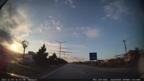
- Street-level photo, unen, CC BY-SA 4.0
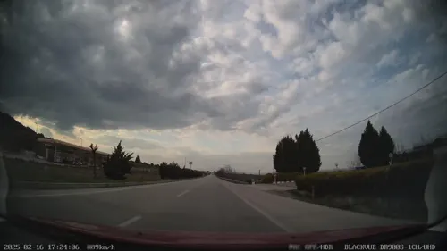
- Street-level photo, unen, CC BY-SA 4.0
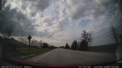
- Street-level photo, unen, CC BY-SA 4.0
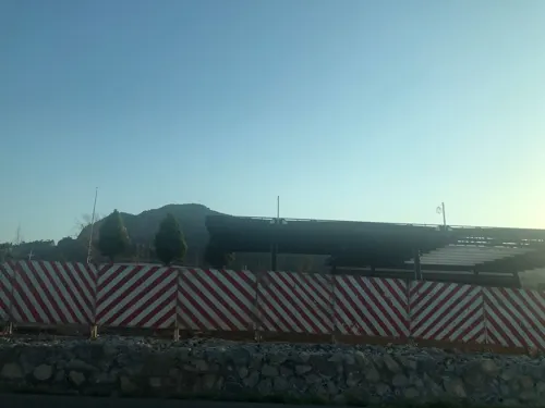
- Street-level photo, hilalla, CC BY-SA 4.0
Page built November 8, 2026. Spotted a mistake? Tell us or suggest a place.