
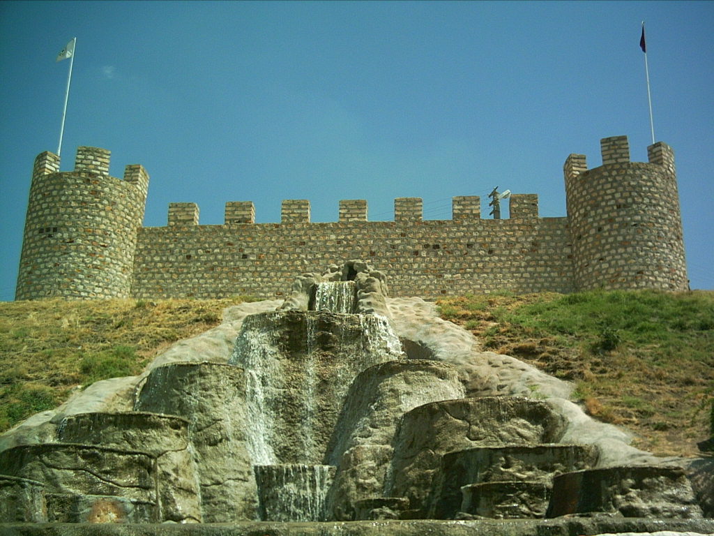


Why visit Şereflikoçhisar
Townapedia lists 2 places to eat and 1 place to stay in and around town.
Weather in Şereflikoçhisar
Forecast from MET Norway (CC BY 4.0). Full forecast
About Şereflikoçhisar
Şereflikoçhisar (Turkish: [ʃeɾefˈlikotʃhisaɾ]), formerly known as Koçhisar, is a municipality and district of Ankara Province, Turkey. Its area is 2,155 km2, and its population is 33,140 (2022). It is 148 km south of the city of Ankara. Its average elevation ranges between 900 and 1,200 m, with the highest point being Mt.
From the Wikipedia article Şereflikoçhisar (this version), under CC BY-SA 4.0.
Restaurants and cafes2

Where to stay1

Churches and places of worship1

Shopping4



History
Şereflikoçhisar is believed to have been inhabited since the time of the Hittites and was a thriving town in the Seljuk and Ottoman Empire periods.
From the History section of Şereflikoçhisar on Wikipedia, under CC BY-SA 4.0.
Gas and EV charging4
Schools, colleges and libraries1
Healthcare9
Map of Şereflikoçhisar
22 places. The map loads OpenStreetMap tiles when you open it.
Getting there and nearby towns
Nevşehir Kapadokya Airport (NAV) is the nearest airport with scheduled flights listed in OpenStreetMap, 88 km away.
- Sarıyahşi 27 km east, about 27 min by car
- Boğazköy 30 km east, about 30 min by car
- Ağaçören 33 km east, about 33 min by car
- Altınkaya 42 km southeast, about 42 min by car
- Kulu 43 km northwest, about 43 min by car
- Devedamı 43 km east, about 43 min by car
- Ortaköy 49 km southeast, about 49 min by car
- Kaman 49 km north, about 49 min by car
- Kırşehir 59 km northeast, about 59 min by car
- Aksaray 76 km southeast, about 1 h 15 min by car
Drive times are estimates from straight-line distance, not routes.
Local news
Headlines from INDB.
Reviews, tips and questions
Loading what members have shared...
Sources and licences
- GeoNames (CC BY 4.0): population, coordinates, regions and time zone
- Mapillary (see each image): photos
- OpenStreetMap contributors (ODbL 1.0): places, airports, map data
- Wikidata (CC0 1.0): elevation, founding date, time zone, website
- Wikimedia Commons (see each image): photos
- Wikipedia (CC BY-SA 4.0): overview and history text
Photo credits
- Kale (1), Original uploader was Kadirguzel at tr.wikipedia, CC BY-SA 3.0
- Blick nach Osten auf Karandere, Şereflikoçhisar, Provinz Aksaray, Christian1311, CC BY-SA 4.0
- Şereflikoçhisar, Provinz Ankara, Christian1311, CC BY-SA 4.0
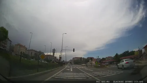
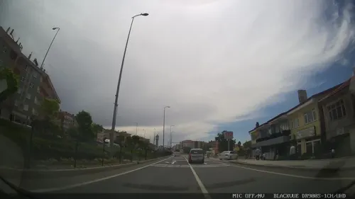
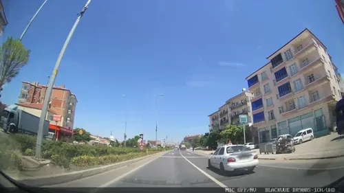
- Street-level photo, asturksever, CC BY-SA 4.0
- Street-level photo, asturksever, CC BY-SA 4.0
- Street-level photo, asturksever, CC BY-SA 4.0
- Street-level photo, asturksever, CC BY-SA 4.0
- Street-level photo, asturksever, CC BY-SA 4.0
- Street-level photo, asturksever, CC BY-SA 4.0
- Street-level photo, asturksever, CC BY-SA 4.0
Page built November 8, 2026. Spotted a mistake? Tell us or suggest a place.