


Why visit Terme
Townapedia lists 4 museums and landmarks, 5 parks and trails, 15 places to eat, 1 place to stay and 1 attraction in and around town.
Weather in Terme
Forecast from MET Norway (CC BY 4.0). Full forecast
About Terme
Terme, formerly spelled Termeh (Ottoman Turkish: ترمه) is a municipality and district of Samsun Province, Turkey. Its area is 548 km2, and its population is 71,092 (2022). Terme is located on Terme River, about 5 km from its mouth, on the eastern end of the Çarşamba Plain.
From the Wikipedia article Terme (this version), under CC BY-SA 4.0.
Things to do1

Museums and landmarks4
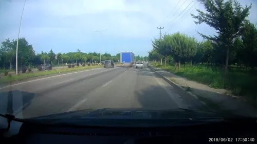



Parks, trails and playgrounds5


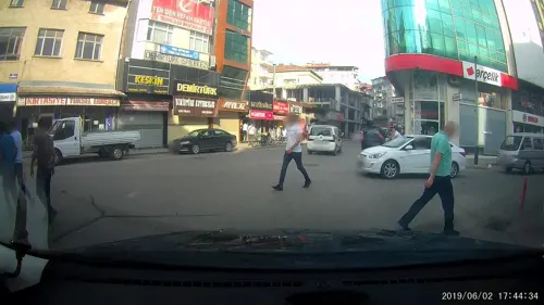

Restaurants and cafes15

Martı Kafe
Cafe · Turkish, Cake, Tea, Coffee Shop
1 Lise Sokak, Terme/Samsun
Mo-Su 09:00-23:30

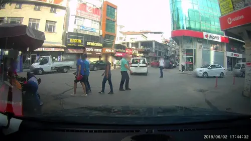
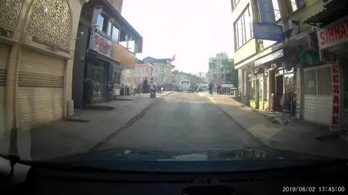
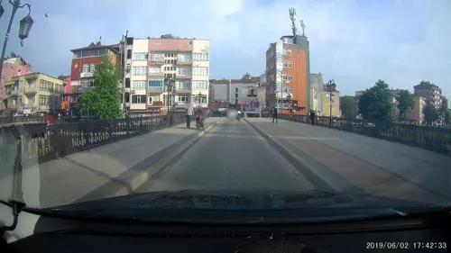



3 more on the map.
Where to stay1
Churches and places of worship14
Cumhuriyet Mahallesi Cami
Place of worship · 1.5 km
Samsun-Ordu yolu, Terme/Samsun
Fındıklık Sokak Cami
Place of worship · 2.0 km
243 Fındıklık Caddesi, Terme/Samsun
Shopping8
Gas and EV charging5
Schools, colleges and libraries9
Karadeniz Mesleki ve Teknik Anadolu Lisesi
School · 0.9 km
20 Şehit Polis Rıfat Sezgin Caddesi, Terme/Samsun
Darüşşifa Mesleki ve Teknik Anadolu Lisesi
School · 1.5 km
4 Merkez Sokak, Terme/Samsun
Healthcare20
Map of Terme
82 places. The map loads OpenStreetMap tiles when you open it.
Getting there and nearby towns
Samsun-Çarşamba Airport (SZF) is the nearest airport with scheduled flights listed in OpenStreetMap, 35 km away.
- İkizce 19 km southeast, about 19 min by car
- Çarşamba 21 km west, about 21 min by car
- Beylerce 23 km west, about 23 min by car
- Cumhuriyet 24 km west, about 24 min by car
- Ataköy 26 km west, about 26 min by car
- Sahilköy 26 km northwest, about 26 min by car
- Ünye 27 km east, about 27 min by car
- Dikbıyık 30 km west, about 30 min by car
- Samsun 54 km west, about 54 min by car
- Ordu 81 km east, about 1 h 15 min by car
Drive times are estimates from straight-line distance, not routes.
Local news
Headlines from INDB.
Reviews, tips and questions
Loading what members have shared...
Sources and licences
- GeoNames (CC BY 4.0): population, coordinates, regions and time zone
- Mapillary (see each image): photos
- OpenStreetMap contributors (ODbL 1.0): places, airports, map data
- Wikidata (CC0 1.0): elevation, founding date, time zone, website
- Wikimedia Commons (see each image): photos
- Wikipedia (CC BY-SA 4.0): overview and history text
Photo credits
- Üstgecitten görünüm , terme , samsun , turkey - panoramio, ibrahimsemiz, CC BY 3.0
- Pazar camii ve türbe ,terme , samsun , turkey - panoramio, ibrahimsemiz, CC BY 3.0
- Street-level photo, healixx, CC BY-SA 4.0
- Street-level photo, healixx, CC BY-SA 4.0
- Street-level photo, healixx, CC BY-SA 4.0
- Street-level photo, healixx, CC BY-SA 4.0
- Street-level photo, healixx, CC BY-SA 4.0
- Street-level photo, healixx, CC BY-SA 4.0
- Street-level photo, healixx, CC BY-SA 4.0
- Street-level photo, healixx, CC BY-SA 4.0
- Street-level photo, healixx, CC BY-SA 4.0
- Street-level photo, healixx, CC BY-SA 4.0
- Street-level photo, healixx, CC BY-SA 4.0
- Street-level photo, healixx, CC BY-SA 4.0
- Street-level photo, healixx, CC BY-SA 4.0
- Street-level photo, hauserulrich, CC BY-SA 4.0
Page built November 8, 2026. Spotted a mistake? Tell us or suggest a place.