


Yatağan, Turkey
Yatağan (ilçe merkezi)
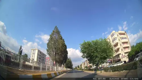
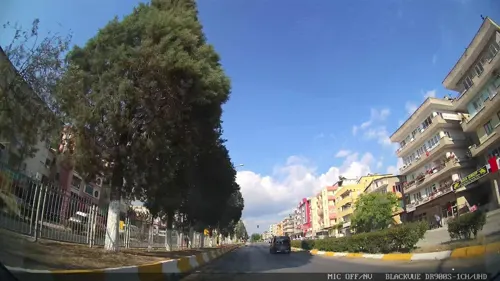
Yatağan is a town of 19,020 people in Muğla, Turkey.
Why visit Yatağan
Townapedia lists 5 museums and landmarks, 6 parks and trails, 3 places to eat and 1 place to stay in and around town.
Highlights include Chrysaoris and Koliorga.
Weather in Yatağan
Forecast from MET Norway (CC BY 4.0). Full forecast
Museums and landmarks5

Chrysaoris
Monument and historic site · 4.1 km
Ancient city of Caria in modern-day Turkey
Koliorga
Monument and historic site · 5.4 km
Ancient city of Caria, in modern-day Turkey
Parks, trails and playgrounds6


Kaya Köstepen Şehir Stadyumu
Sports field and stadium · 0.8 km
Park Caddesi, Yatağan
Restaurants and cafes3



Where to stay1

Churches and places of worship6
TEK Mehmet Akif Ersoy Camii
Place of worship · Sunni · 1.0 km
TEK Sosyal Tesisleri, Yatağan
Shopping3
Gas and EV charging7
Schools, colleges and libraries11
Yatağan Şehit Engin Yalçın Mesleki ve Teknik Anadolu Lisesi
School · 0.9 km
5 Park Caddesi, Yatağan
Healthcare16
Map of Yatağan
58 places. The map loads OpenStreetMap tiles when you open it.
Getting there and nearby towns
Milas–Bodrum Airport (BJV) is the nearest airport with scheduled flights listed in OpenStreetMap, 44 km away.
- Bozarmut 4 km southeast, about 4 min by car
- Bayır 10 km southeast, about 10 min by car
- Turgut 11 km west, about 11 min by car
- Çine 31 km north, about 31 min by car
- Aydın 62 km northwest, about 1 h by car
- Nazilli 66 km north, about 1 h by car
- İncirliova 68 km northwest, about 1 h 15 min by car
- Söke 79 km northwest, about 1 h 15 min by car
- Didim 78 km west, about 1 h 15 min by car
- Yalıkavak 79 km west, about 1 h 15 min by car
Drive times are estimates from straight-line distance, not routes.
Local news
Headlines from INDB.
Reviews, tips and questions
Loading what members have shared...
Sources and licences
- GeoNames (CC BY 4.0): population, coordinates, regions and time zone
- Mapillary (see each image): photos
- OpenStreetMap contributors (ODbL 1.0): places, airports, map data
- Wikidata (CC0 1.0): elevation, founding date, time zone, website, landmarks and historic places
- Wikimedia Commons (see each image): photos
Photo credits
- Yatağan - Atatürk statue, tomasz przechlewski, CC BY 2.0
- Yatağan meydanı ( r. nazilli ) - panoramio, refik nazilli, CC BY-SA 3.0
- Yatağan girişi ( R. Nazilli ) - panoramio, refik nazilli, CC BY-SA 3.0
- Yatağan Girişi Alt Geçit ( R. Nazilli ) - panoramio, refik nazilli, CC BY-SA 3.0
- Ege Yolculuk 30 - Yatagan - panoramio, Bir_Ege_Hikayesi ©, CC BY 3.0
- Ege Yolculuk 29 - Yatagan - panoramio, Bir_Ege_Hikayesi ©, CC BY 3.0
- Em1019 4283079, tomasz przechlewski, CC BY 2.0
- Ege Yolculuk 31 - Yatagan - panoramio, Bir_Ege_Hikayesi ©, CC BY 3.0
- Ege Yolculuk 32 - Yatagan - panoramio, Bir_Ege_Hikayesi ©, CC BY 3.0
- Ege Yolculuk 34 - Yatagan - panoramio, Bir_Ege_Hikayesi ©, CC BY 3.0
- Ege Yolculuk 33 - Yatagan - panoramio, Bir_Ege_Hikayesi ©, CC BY 3.0
- Ege Yolculuk 35 - Yatagan - panoramio, Bir_Ege_Hikayesi ©, CC BY 3.0
- Street-level photo, asturksever, CC BY-SA 4.0
- Street-level photo, asturksever, CC BY-SA 4.0
- Street-level photo, asturksever, CC BY-SA 4.0
- Street-level photo, asturksever, CC BY-SA 4.0
- Street-level photo, asturksever, CC BY-SA 4.0
- Street-level photo, asturksever, CC BY-SA 4.0
- Street-level photo, asturksever, CC BY-SA 4.0


Page built November 8, 2026. Spotted a mistake? Tell us or suggest a place.