

Yayladağı, Turkey
Yayladağı (ilçe merkezi)
Yayladağı is a town of 8,308 people in Hatay, Turkey.
Weather in Yayladağı
Forecast from MET Norway (CC BY 4.0). Full forecast
About Yayladağı
Yayladağı (pronounced [ˈjajɫaˈdaɯ]), formerly Ordu (Arabic: اوردو, romanized: ʾŪrdū; Western Armenian: Օրտու, romanized: Ōrdu), is a municipality and district of Hatay Province, Turkey. Its area is 445 km2, and its population is 36,803 (2022). It is on the border with Syria, 51 km (32 mi) south of the city of Antakya.
From the Wikipedia article Yayladağı (this version), under CC BY-SA 4.0.
Churches and places of worship7


Healthcare5

Map of Yayladağı
12 places. The map loads OpenStreetMap tiles when you open it.
Getting there and nearby towns
Hatay Airport (HTY) is the nearest airport with scheduled flights listed in OpenStreetMap, 55 km away.
- Kışlak 11 km northeast, about 11 min by car
- Şenköy 18 km northeast, about 18 min by car
- Gözene 19 km north, about 19 min by car
- Samandağ 21 km north, about 21 min by car
- Sutaşı 21 km north, about 21 min by car
- Hıdırbey 34 km north, about 34 min by car
- Antakya 35 km north, about 35 min by car
- Belen 66 km north, about 1 h by car
- Kırıkhan 71 km north, about 1 h 15 min by car
- İskenderun 77 km north, about 1 h 15 min by car
Drive times are estimates from straight-line distance, not routes.
Local news
Headlines from INDB.
Reviews, tips and questions
Loading what members have shared...
Sources and licences
- GeoNames (CC BY 4.0): population, coordinates, regions and time zone
- Mapillary (see each image): photos
- OpenStreetMap contributors (ODbL 1.0): places, airports, map data
- Wikidata (CC0 1.0): elevation, founding date, time zone, website
- Wikimedia Commons (see each image): photos
- Wikipedia (CC BY-SA 4.0): overview and history text
Photo credits
- Yayladagi6, Vikiçizer, Public domain
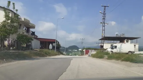
- Street-level photo, ahmettsafaa, CC BY-SA 4.0
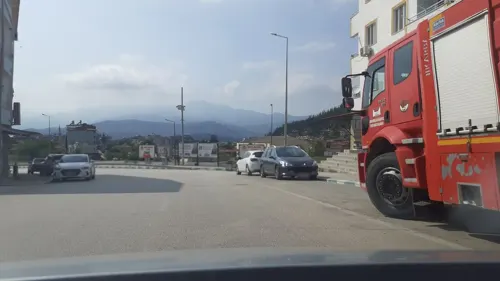
- Street-level photo, ahmettsafaa, CC BY-SA 4.0
Page built November 8, 2026. Spotted a mistake? Tell us or suggest a place.