


Yomra, Turkey
Yomra is a town of 19,770 people in Trabzon, Turkey, founded in April 1, 1959.
Why visit Yomra
Townapedia lists 7 museums and landmarks, 25 parks and trails, 147 places to eat, 54 places to stay and 1 attraction in and around town.
Highlights include Trabzon Museum, Ahi Evren Dede Türbesi, Port of Trabzon and EYOF 2011 Memorial Park.
Weather in Yomra
Forecast from MET Norway (CC BY 4.0). Full forecast
About Yomra
Yomra (Greek: Γέμουρα) is a municipality and district of Trabzon Province, Turkey. Its area is 200 km2, and its population is 47,283 (2022). The town lies on the Black Sea coast, east of the city of Trabzon. The mayor is Mustafa Bıyık (CHP).
From the Wikipedia article Yomra (this version), under CC BY-SA 4.0.
Things to do1

Museums and landmarks7

Trabzon Museum
Museum · 12.3 km
House museum, archeological museum, ethnographic museum in Trabzon, Turkey


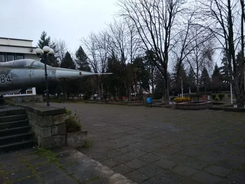
F-104G (8-284)
Monument and historic site · 8.1 km
F-104G (c/n 8284) 8284 “8-284” of 8AJU, Turkish Air Force, preserved at the premises of the Karadeniz Technical University at Trabzon.
Parks, trails and playgrounds25





13 more on the map.
Restaurants and cafes147
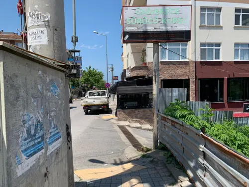
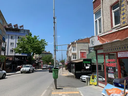
Crackers Pizza
Restaurant · Pizza · 9.1 km
26 Farabi Caddesi, Trabzon
11:00-02:00
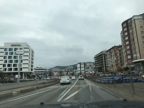
Fındık Ocağı Cafe & Bistro
Cafe · Grill, Tea, Turkish, Chicken, Curry, Coffee Shop, Breakfast, Ice Cream · 2.1 km
04623442525 devlet karayolu caddesi
Mo-Su 08:30-23:30

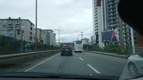
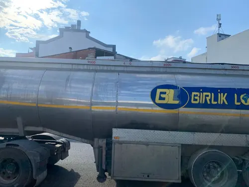
Merhan Cafe Restaurant
Restaurant · Turkish, Regional, Burger, Pizza, Chicken, Seafood, Kebab, Steak House, Dessert, Salad, Pasta · 1.0 km
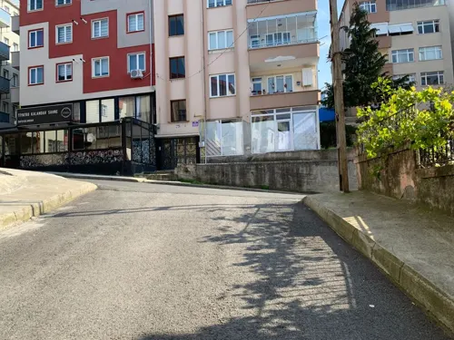
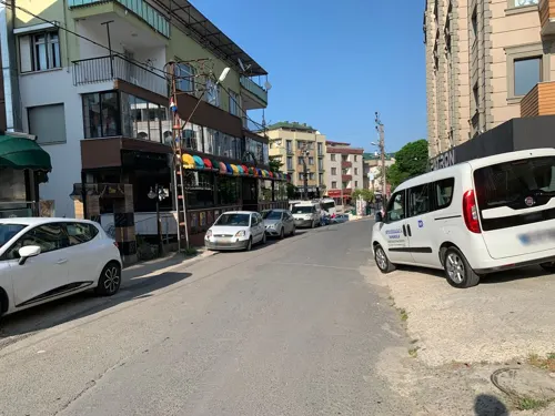


135 more on the map.
Where to stay54
Hermias Marin Hotel
Motel and hotel · 8.9 km
5 Kalkınma Mahallesi 111 Nolu Sokak, Ortahisar, Trabzon, Türkiye
Churches and places of worship28
Shopping38
Gas and EV charging19
Yılmazlar Aytemiz Akaryakıt İstasyonu
Gas station · 4.4 km
336 Devlet Karayolu Caddesi, Trabzon
Schools, colleges and libraries35
Healthcare50
Map of Yomra
250 places. The map loads OpenStreetMap tiles when you open it.
Getting there and nearby towns
Trabzon International Airport (TZX) is the nearest airport with scheduled flights listed in OpenStreetMap, 7 km away.
- Arsin 6 km east, about 6 min by car
- Trabzon 12 km northwest, about 12 min by car
- Tosköy 15 km west, about 15 min by car
- Araklı 17 km east, about 17 min by car
- Yıldızlı 22 km west, about 22 min by car
- Sürmene 23 km east, about 23 min by car
- Rize 56 km east, about 56 min by car
- Eynesil 61 km west, about 1 h by car
- Görele 72 km west, about 1 h 15 min by car
- Tirebolu 88 km west, about 1 h 30 min by car
Drive times are estimates from straight-line distance, not routes.
Local news
Headlines from INDB.
Reviews, tips and questions
Loading what members have shared...
Sources and licences
- GeoNames (CC BY 4.0): population, coordinates, regions and time zone
- Mapillary (see each image): photos
- OpenStreetMap contributors (ODbL 1.0): places, airports, map data
- Wikidata (CC0 1.0): elevation, founding date, time zone, website, landmarks and historic places
- Wikimedia Commons (see each image): photos
- Wikipedia (CC BY-SA 4.0): overview and history text
Photo credits
- Trabzon museum, Radosław Botev, Attribution
- Trebisonda, chiesa bizatina di s. anna, 01, Francesco Bini, CC BY-SA 4.0
- St. Gregory, Trebizond, Dmitri Ivanovich Ermakov (1846 - 1916), Public domain
- Trebisonda, ex-chiesa di sant'eugenio, oggi nuova moschea del venerdì, esterno 02, Francesco Bini, CC BY-SA 4.0
- Kaymakli-place, Bertramz, CC BY-SA 3.0
- Karadeniz Teknik Üniversitesi 01 Технички универзитет на Црном мору, MirkoS18, CC BY-SA 4.0
- Trabzon Sep 2019 10 19 46 076000, Robot8A, CC BY-SA 4.0
- Olimpiyat Park Torii, Trabzon, Robot8A, CC BY-SA 4.0
- Ahi Evran, 3210 Eyüp Sabri Kartal, CC BY-SA 3.0
- Trabzon Sep 2019 10 15 29 876000, Robot8A, CC BY-SA 4.0
- Trabzon Limanı Ağustos 2011, Tarih, CC BY-SA 4.0
- Forum Trabzon Ağustos 2011, Tarih, CC BY-SA 4.0
- ISS030-E-8387 - View of Earth, Earth Science and Remote Sensing Unit , Lyndon B. Johnson Space Center, Public domain
- D010 Jan 2020 20 36 58 698000, Robot8A, CC BY-SA 4.0
- ISS023-E-56891 - View of Earth, Earth Science and Remote Sensing Unit , Lyndon B. Johnson Space Center, Public domain
- ISS045-E-46377 - View of Earth, Earth Science and Remote Sensing Unit , Lyndon B. Johnson Space Center, Public domain
- ISS023-E-26024 - View of Earth, Earth Science and Remote Sensing Unit , Lyndon B. Johnson Space Center, Public domain
- ISS023-E-56892 - View of Earth, Earth Science and Remote Sensing Unit , Lyndon B. Johnson Space Center, Public domain
- ISS037-E-14464 - View of Earth, Earth Science and Remote Sensing Unit , Lyndon B. Johnson Space Center, Public domain
- Trabzon Feb 2020 19 29 33 941000, Robot8A, CC BY-SA 4.0
- ISS030-E-8935 - View of Earth, Earth Science and Remote Sensing Unit , Lyndon B. Johnson Space Center, Public domain
- ISS037-E-14463 - View of Earth, Earth Science and Remote Sensing Unit , Lyndon B. Johnson Space Center, Public domain
- SunExpress Sep 2019, Robot8A, CC BY-SA 4.0
- Trabzon Mar 2020 13 58 00 591000, Robot8A, CC BY-SA 4.0
- TRABZON HAVALİMANI-AIRPORT - panoramio, Kayhan ERTUGRUL, CC BY-SA 3.0
- Aircraft of Kuwait Airways, İmmortalance, CC BY-SA 4.0
- Trabzon Feb 2020 19 28 31 611000, Robot8A, CC BY-SA 4.0
- TRABZON IC HATLAR TERMINALI - panoramio, Kayhan ERTUGRUL, CC BY-SA 3.0
- Trabzon Jun 2020, Robot8A, CC BY-SA 4.0
- Trabzon Feb 2020, Robot8A, CC BY-SA 4.0
- Trabzon Jun 2020 15 29 19 493000, Robot8A, CC BY-SA 4.0
- Trabzon Jun 2020 15 29 27 407000, Robot8A, CC BY-SA 4.0
- Trabzon May 2020 18 37 45 603000, Robot8A, CC BY-SA 4.0
- Trabzon Oct 2019, Robot8A, CC BY-SA 4.0
- Trabzon Jun 2020 15 30 53 628000, Robot8A, CC BY-SA 4.0
- KTÜ Jan 2020, Robot8A, CC BY-SA 4.0
- Trabzon Dec 2019 13 13 40 901000, Robot8A, CC BY-SA 4.0
- Trabzon Feb 2020 19 31 25 977000, Robot8A, CC BY-SA 4.0
- Trabzon Feb 2020 19 31 32 852000, Robot8A, CC BY-SA 4.0
- Trabzon Feb 2020 19 31 40 194000, Robot8A, CC BY-SA 4.0
- Street-level photo, robot8a, CC BY-SA 4.0
- Street-level photo, robot8a, CC BY-SA 4.0
- Street-level photo, kubikanber, CC BY-SA 4.0
- Street-level photo, 348601, CC BY-SA 4.0
- Street-level photo, healixx, CC BY-SA 4.0
- Street-level photo, kubikanber, CC BY-SA 4.0
- Street-level photo, robot8a, CC BY-SA 4.0
- Street-level photo, robot8a, CC BY-SA 4.0
- Street-level photo, robot8a, CC BY-SA 4.0
- Street-level photo, robot8a, CC BY-SA 4.0
- Street-level photo, robot8a, CC BY-SA 4.0
- Street-level photo, healixx, CC BY-SA 4.0
- Street-level photo, kubikanber, CC BY-SA 4.0
- Street-level photo, robot8a, CC BY-SA 4.0
- Street-level photo, kubikanber, CC BY-SA 4.0
- Street-level photo, kubikanber, CC BY-SA 4.0
- Street-level photo, 348601, CC BY-SA 4.0
- Street-level photo, taha8, CC BY-SA 4.0
- Street-level photo, robot8a, CC BY-SA 4.0
- Street-level photo, robot8a, CC BY-SA 4.0
- Street-level photo, robot8a, CC BY-SA 4.0
- Street-level photo, robot8a, CC BY-SA 4.0
- Street-level photo, robot8a, CC BY-SA 4.0
- Street-level photo, omer, CC BY-SA 4.0


Page built November 8, 2026. Spotted a mistake? Tell us or suggest a place.