

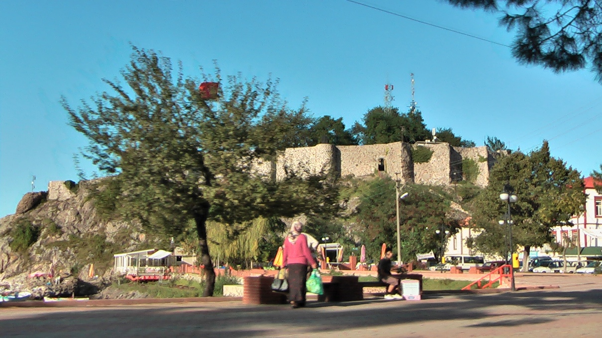


Why visit Tirebolu
Townapedia lists 2 museums and landmarks, 3 parks and trails, 7 places to eat and 2 places to stay in and around town.
Highlights include Argyria and Tirebolu Castle.
Weather in Tirebolu
Forecast from MET Norway (CC BY 4.0). Full forecast
About Tirebolu
Tirebolu is a town in Giresun Province, Turkey. It is the seat of Tirebolu District. Its population is 20,671 (2022).
From the Wikipedia article Tirebolu (this version), under CC BY-SA 4.0.
Museums and landmarks2

Argyria
Monument and historic site · 4.7 km
Ancient city of Pontus in modern-day Turkey
Parks, trails and playgrounds3

Restaurants and cafes7


Where to stay2
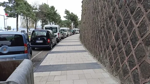
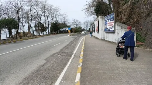


History
In his Anabasis, the ancient Greek historian Xenophon (431–360 BC) wrote that Colchians, Drilae, Habibs, and Tiberians had been living in the eastern parts of the Black Sea region during the centuries (BC).
The Naturalis Historia of Pliny the Elder recounts that the ancient fortress city of Tripolis was founded (656 BC) as a trading colony of the Ancient Greek city-state of Miletos, one of nearly 90 along the Black Sea coast.
Tripoli was next part of the Roman Empire, Byzantine Empire, one of the three cities that give the town its name, the others being Andoz (today's Espiye) and Bedrama (or Bedrum) in the Harşit valley. When Alexios Komnenos (later Emperor Alexios I of Trebizond) and his brother David founded the Empire of Trebizond in April 1204, about the time the Fourth Crusade captured and sacked Constantinople, Tripoli became part of this empire. As late as 1404, it was part of the direct territory of the Emperor of Trebizond.
From the History section of Tirebolu on Wikipedia, under CC BY-SA 4.0.
Churches and places of worship1
Shopping5
Gas and EV charging4
SHARZ Karpet
EV charging · 2.2 km
Körliman Mahallesi, Mehmet Bayrak Cd. No:2, 28500 Tirebolu/Gires, TİREBOLU
Schools, colleges and libraries1
Özel Karadeniz Akasya Özel Eğitim Ve Rehabilitasyon Merkezi
School · 2.2 km
Körliman Mahallesi Amiral Şükrü Okan Caddesi, No:27/A, Giresun
Healthcare8
Map of Tirebolu
33 places. The map loads OpenStreetMap tiles when you open it.
Getting there and nearby towns
Ordu Giresun Havalimanı (OGU) is the nearest airport with scheduled flights listed in OpenStreetMap, 61 km away.
- Espiye 11 km southwest, about 11 min by car
- Görele 16 km east, about 16 min by car
- Eymür 18 km south, about 18 min by car
- Doğankent 24 km south, about 24 min by car
- Eynesil 28 km east, about 28 min by car
- Keşap 28 km west, about 28 min by car
- Şalpazarı 32 km east, about 32 min by car
- Giresun 37 km west, about 37 min by car
- Trabzon 77 km east, about 1 h 15 min by car
- Ordu 78 km west, about 1 h 15 min by car
Drive times are estimates from straight-line distance, not routes.
Local news
Headlines from INDB.
Reviews, tips and questions
Loading what members have shared...
Sources and licences
- GeoNames (CC BY 4.0): population, coordinates, regions and time zone
- Mapillary (see each image): photos
- OpenStreetMap contributors (ODbL 1.0): places, airports, map data
- Wikidata (CC0 1.0): elevation, founding date, time zone, website, landmarks and historic places
- Wikimedia Commons (see each image): photos
- Wikipedia (CC BY-SA 4.0): overview and history text
Photo credits
- Tirebolu Manzarası, Akrbgll, CC0
- Tirebolu, Elelicht, CC BY-SA 3.0
- Karadeniz, Süleyman Kanal, CC BY-SA 4.0
- ISS065-E-427979 - View of Earth, Earth Science and Remote Sensing Unit , Lyndon B. Johnson Space Center, Public domain
- Street-level photo, alprdmrl, CC BY-SA 4.0
- Street-level photo, alprdmrl, CC BY-SA 4.0
- Street-level photo, alprdmrl, CC BY-SA 4.0
- Street-level photo, alprdmrl, CC BY-SA 4.0
- Street-level photo, alprdmrl, CC BY-SA 4.0
- Street-level photo, alprdmrl, CC BY-SA 4.0
- Street-level photo, alprdmrl, CC BY-SA 4.0
- Street-level photo, alprdmrl, CC BY-SA 4.0
- Street-level photo, alprdmrl, CC BY-SA 4.0
- Street-level photo, alprdmrl, CC BY-SA 4.0
Page built November 8, 2026. Spotted a mistake? Tell us or suggest a place.