


Why visit Iringa
Townapedia lists 7 museums and landmarks, 5 parks and trails, 57 places to eat, 103 places to stay and 4 attractions in and around town.
Highlights include Iringa Boma Regional Museum and Cultural Center.
Weather in Iringa
Forecast from MET Norway (CC BY 4.0). Full forecast
About Iringa
Iringa is a city in Tanzania with a population of 202,490 (as of 2022) and situated at a latitude of 7.77°S and longitude of 35.69°E. The name is derived from the Hehe word lilinga, meaning fort. Iringa is the administrative capital of Iringa Region. Iringa Municipal Council is the administrative designation of the Municipality of Iringa.
From the Wikipedia article Iringa (this version), under CC BY-SA 4.0.
Travel tips from other travellers: Iringa on Wikivoyage (CC BY-SA 4.0).
Photos of Iringa


Things to do4



Museums and landmarks7


Parks, trails and playgrounds5



Restaurants and cafes57
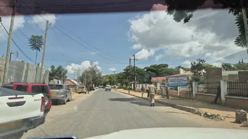
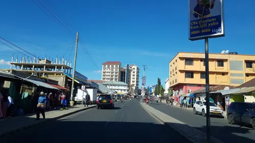
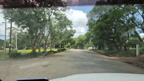
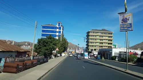
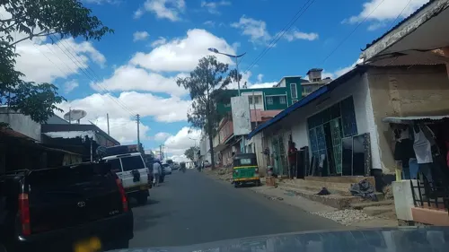





45 more on the map.
History
The Isimila Stone Age site, which lies about 20 km (12 mi) to the southwest, contains archeological artifacts, particularly stone tools, from human habitation about 70,000 years ago.
Iringa Region is home to the Hehe people. After their defeat at Lugalo by the Hehe, led by Chief Mkwawa, the Germans built a military station at 'Neu Iringa' to avenge the death of their commander Emil von Zelewski and to teach the Hehe respect for German authority. The fortress and headquarters of Chief Mkwawa was in the nearby village of Kalenga, Alt Iringa.
From the History section of Iringa on Wikipedia, under CC BY-SA 4.0.
More about Iringa
Geography
The town stretches along a hilltop overlooking the Little Ruaha River to the south, and spreads along ridges and valleys to the north. Iringa is in the Udzungwa Mountains, and the altitude of the town's environs is more than 1,550 metres (5,090 ft) above sea level. The months of June, July, and August can see low temperatures near freezing. The Tanzam Highway passes through the valley below the town; the highway distance from Iringa's limits to Dar es Salaam is 502 kilometers (312 mi), via Morogoro.
Iringa has a fairly dry climate with mild-to-warm temperatures year round. Iringa has a wet season from December to April, and a nearly rainless period from June to September. Its climate is classified by Köppen as a hot semi-arid climate (BSh).
Economy
The trans-African automobile route — the Cairo-Cape Town Highway passes through Iringa. Iringa has a well-established industrial base, including food processing and logistics industries. Most of its electricity comes from the nearby Mtera Dam. Iringa is a minor transport hub for regular bus travelers. It is a center for trucking services to Dar es Salaam, Mbeya, Songea, and Dodoma and other regions of Tanzania. It is also a servicing town for trucks going to neighboring countries such as Zambia, Democratic Republic of Congo, Malawi, Burundi and other EAC countries.
Education
Iringa has several institutions of higher education, including Tumaini University, Iringa University College, Mkwawa University College of Education (a constituent college of the University of Dar es Salaam), and Ruaha Catholic University (RUCU)). There are also secondary schools like Tosamaganga high school, Malangali high school, Iringa girls' secondary school, Ifunda technical school and Ruaha Secondary School.
From the Wikipedia article Iringa, under CC BY-SA 4.0.
Notable people from Iringa
 Peter Mahamudu MsollaTanzanian politicianPhoto: ITU Pictures, CC BY-SA 2.0
- Shiraz ShivjiTanzanian computer designer
- Ray CTanzanian singer and songwriter
- Karen MacLeodBritish athletics competitor (1958-2021)
- Tim Macartney-SnapeAustralian mountain climber
- Dizasta VinaTanzanian rapper and record producer
- Kelvin MbilinyiTanzanian musician
- Joram MgevekeTanzanian footballer

Born in Iringa, according to Wikidata (CC0). Each name links to its Wikipedia article.
Where to stay103
Churches and places of worship57
Ahmadiyya Masjid Bait-Un-Nur
Place of worship · Ahmadiyya · 1.3 km
P.O Box 359 Iringa, Iringa
KKKT KANISA KUU IRINGA ,Lutheran Cathedral
Church · Lutheran · 1.9 km
Sokoni Street, Iringa
Bait-Un-Nur Mosque, Ahmadiyya Muslim Jamaat, Tanzania
Place of worship · 1.3 km
Ahmadiyya Street, Iringa
Shopping19
Gas and EV charging9
Schools, colleges and libraries54
Healthcare38
Iringa Medical Consultation Clinic & Maternity Hospital
Hospital · 0.9 km
186 Dodoma Highway, Iringa
Map of Iringa
250 places. The map loads OpenStreetMap tiles when you open it.
Getting there and nearby towns
Iringa Airport (IRI) is the nearest airport with scheduled flights listed in OpenStreetMap, 12 km away.
- Ilula 38 km east, about 38 min by car
- Izazi 63 km north, about 1 h by car
- Mafinga 74 km southwest, about 1 h 15 min by car
Drive times are estimates from straight-line distance, not routes.
Keep exploring
Local news
Headlines from INDB.
Reviews, tips and questions
Loading what members have shared...
Sources and licences
- GeoNames (CC BY 4.0): population, coordinates, regions and time zone
- Mapillary (see each image): photos
- OpenStreetMap contributors (ODbL 1.0): places, airports, map data
- Wikidata (CC0 1.0): elevation, founding date, time zone, website, landmarks and historic places
- Wikimedia Commons (see each image): photos
- Wikipedia (CC BY-SA 4.0): overview and history text
Photo credits
- Iringa, Matt Crypto, Public domain
- Uhuru torch, Iringa (3078399317), mwanasimba from La Réunion, CC BY-SA 2.0
- Gangilonga Stone-Iringa, Philemon Lwaho, CC BY-SA 4.0
- Maasai's Youths called "Morans" sing traditional song during during the Cultural and Tourism exhibition 2018, in Tanzania, Romuldkiobya, CC BY-SA 4.0
- 20120409-8X1F9370, Kenny filmmaker, CC BY 4.0
- Campus of Mkwawa University Education College - panoramio, Xiaotong Gao, CC BY-SA 3.0
- Campus of Mkwawa University Education College - panoramio (1), Xiaotong Gao, CC BY-SA 3.0
- Kassina senegalensis 348974247, Ryan van Huyssteen, CC BY-SA 4.0
- Street-level photo, barakawatson, CC BY-SA 4.0
- Street-level photo, roadroid, CC BY-SA 4.0
- Street-level photo, roadroid, CC BY-SA 4.0
- Street-level photo, barakawatson, CC BY-SA 4.0
- Street-level photo, barakawatson, CC BY-SA 4.0
- Street-level photo, barakawatson, CC BY-SA 4.0
- Street-level photo, barakawatson, CC BY-SA 4.0
- Street-level photo, barakawatson, CC BY-SA 4.0
- Street-level photo, barakawatson, CC BY-SA 4.0
- Street-level photo, barakawatson, CC BY-SA 4.0
- Street-level photo, roadroid, CC BY-SA 4.0
- Street-level photo, barakawatson, CC BY-SA 4.0
- Street-level photo, barakawatson, CC BY-SA 4.0
- Street-level photo, barakawatson, CC BY-SA 4.0
Page built November 10, 2026. Spotted a mistake? Tell us or suggest a place.